MyTopo
Classic USGS Stillwater Pennsylvania 7.5'x7.5' Topo Map
Couldn't load pickup availability
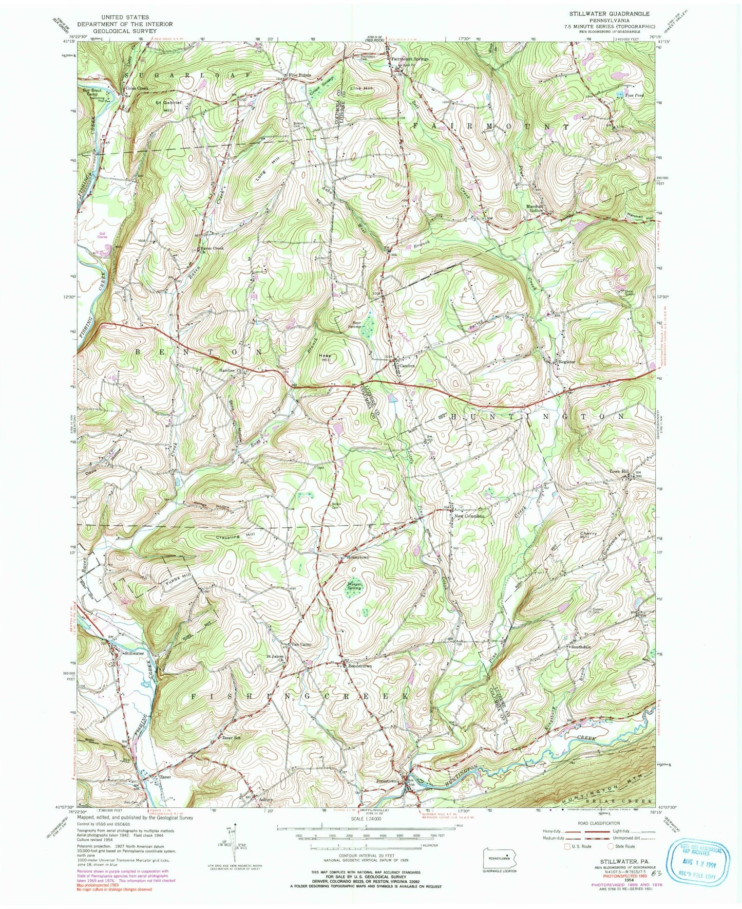
Historical USGS topographic quad map of Stillwater in the state of Pennsylvania. Map scale may vary for some years, but is generally around 1:24,000. Print size is approximately 24" x 27"
This quadrangle is in the following counties: Columbia, Luzerne.
The map contains contour lines, roads, rivers, towns, and lakes. Printed on high-quality waterproof paper with UV fade-resistant inks, and shipped rolled.
Contains the following named places: Asbury, Ashs West Branch, Bear Swamp, Bee Sellers Hollow, Bell Creek, Belles Cemetery, Bendertown, Borough of New Columbus, Borough of Stillwater, Boston Cemetery, Cambra, Cambra Cemetery, Cambra Post Office, Cherry Hill, Clarks View, Coles Creek, Creveling Hill, Dodson Cemetery, East Branch Raven Creek, Fairmount Springs, Fairmount Springs Cemetery, Five Points, Foss Pond, Grisco Swamp, Hamline Cemetery, Hamline Church, Hess Hill, Honeytown, Jonestown, Jonestown Cemetery, Jonestown Census Designated Place, Karnes Hollow, Kingsbury Brook, Line Hill, Little Pine Creek, Long Hill, Marshall Hollow, Mill Race Golf Course, New Columbus, New Columbus Cemetery, Pine Creek, Raven Creek, Raven Creek Cemetery, Raven Creek Church, Register, Saint Gabriel Cemetery, Saint Gabriel Hill, Saint James Church, Saint James United Church of Christ Cemetery, Saint Martha's Cemetery, Saint Marthas Old Cemetery, Southdale, Spring Branch, Stillwater, Stillwater Cemetery, Stine Hollow, Thompson Cemetery, Town Hill, Town Hill Cemetery, Township of Benton, Township of Fishing Creek, Tubbs Hill, Van Camp, Wasp Branch, Wenner Swamp, Zaner, Zaner School, Zion Cemetery, ZIP Codes: 17878, 18622


