MyTopo
Classic USGS Stinkingwater Pass Oregon 7.5'x7.5' Topo Map
Couldn't load pickup availability
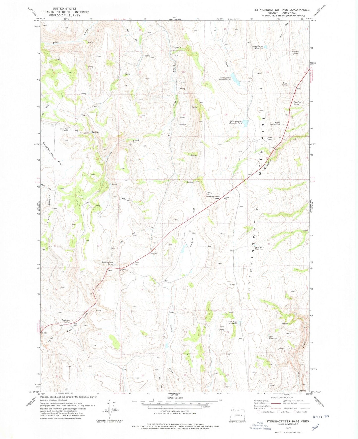
Historical USGS topographic quad map of Stinkingwater Pass in the state of Oregon. Map scale may vary for some years, but is generally around 1:24,000. Print size is approximately 24" x 27"
This quadrangle is in the following counties: Harney.
The map contains contour lines, roads, rivers, towns, and lakes. Printed on high-quality waterproof paper with UV fade-resistant inks, and shipped rolled.
Contains the following named places: Big Pipe Spring, Buchanan Springs, Buchanan Springs Safety Rest Area, Catterson Creek, Crystal Spring, Drewsey Division, Gravel Ridges, Greenley Gulch, Hiway Spring Number One, Indian Grade Spring, Jims Reservoir, Juniper Spring Reservoir, Lazy Man Reservoir, Negro Flat, Oakley Post Office, Percy West Cabin, Road Spring, Sagebrush Flat, Steer Ridge Reservoir, Stinkingwater Pass, Stinkingwater Reservoir Number Three, Stinkingwater Reservoir Number Two