MyTopo
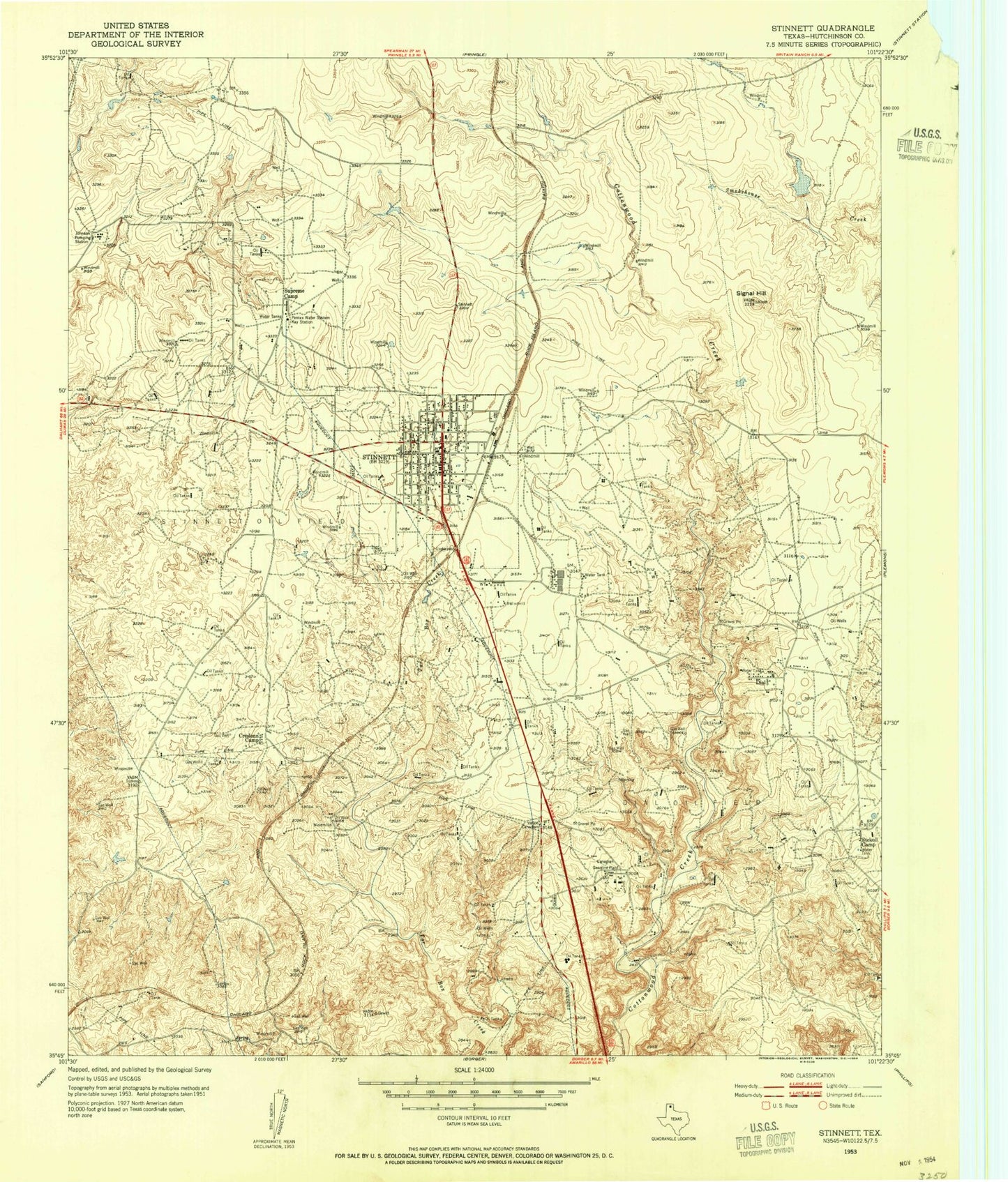
Classic USGS Stinnett Texas 7.5'x7.5' Topo Map
Couldn't load pickup availability
Historical USGS topographic quad map of Stinnett in the state of Texas. Map scale may vary for some years, but is generally around 1:24,000. Print size is approximately 24" x 27"
This quadrangle is in the following counties: Hutchinson.
The map contains contour lines, roads, rivers, towns, and lakes. Printed on high-quality waterproof paper with UV fade-resistant inks, and shipped rolled.
Contains the following named places: Britain Lake, Britain Lake Dam, Canadian Gasoline Plant, City of Stinnett, Creslenn Camp, Dial, Hutchinson County Constable's Office Precinct 1, Johnson Pumping Station, Pantex Water System Kay Station, Signal Hill, Stekoll Camp, Stinnett, Stinnett Ambulance Service, Stinnett Cemetery, Stinnett City Hall, Stinnett Oil Field, Stinnett Police Department, Stinnett Post Office, Stinnett Volunteer Fire Department, Supreme Camp