MyTopo
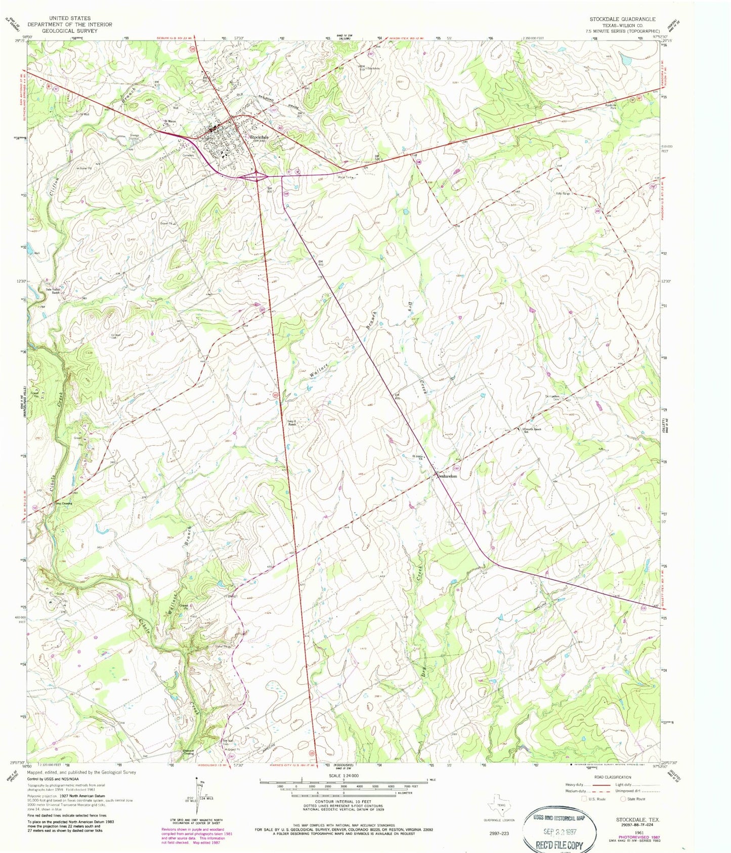
Classic USGS Stockdale Texas 7.5'x7.5' Topo Map
Couldn't load pickup availability
Historical USGS topographic quad map of Stockdale in the state of Texas. Map scale may vary for some years, but is generally around 1:24,000. Print size is approximately 24" x 27"
This quadrangle is in the following counties: Wilson.
The map contains contour lines, roads, rivers, towns, and lakes. Printed on high-quality waterproof paper with UV fade-resistant inks, and shipped rolled.
Contains the following named places: Bailey Airport, City of Stockdale, Dale Valley Ranch, Denhawken, Denhawken Cemetery, Dilworth Ranch School, Gray Crossing, Lazy S Ranch, Plummer Crossing, Saint Johns Church, Saint Marys Church, Stockdale, Stockdale City Hall, Stockdale Division, Stockdale High School, Stockdale Post Office, Stockdale Volunteer Ambulance Service, Stockdale Volunteer Fire Department, Wallace Branch