
MyTopo
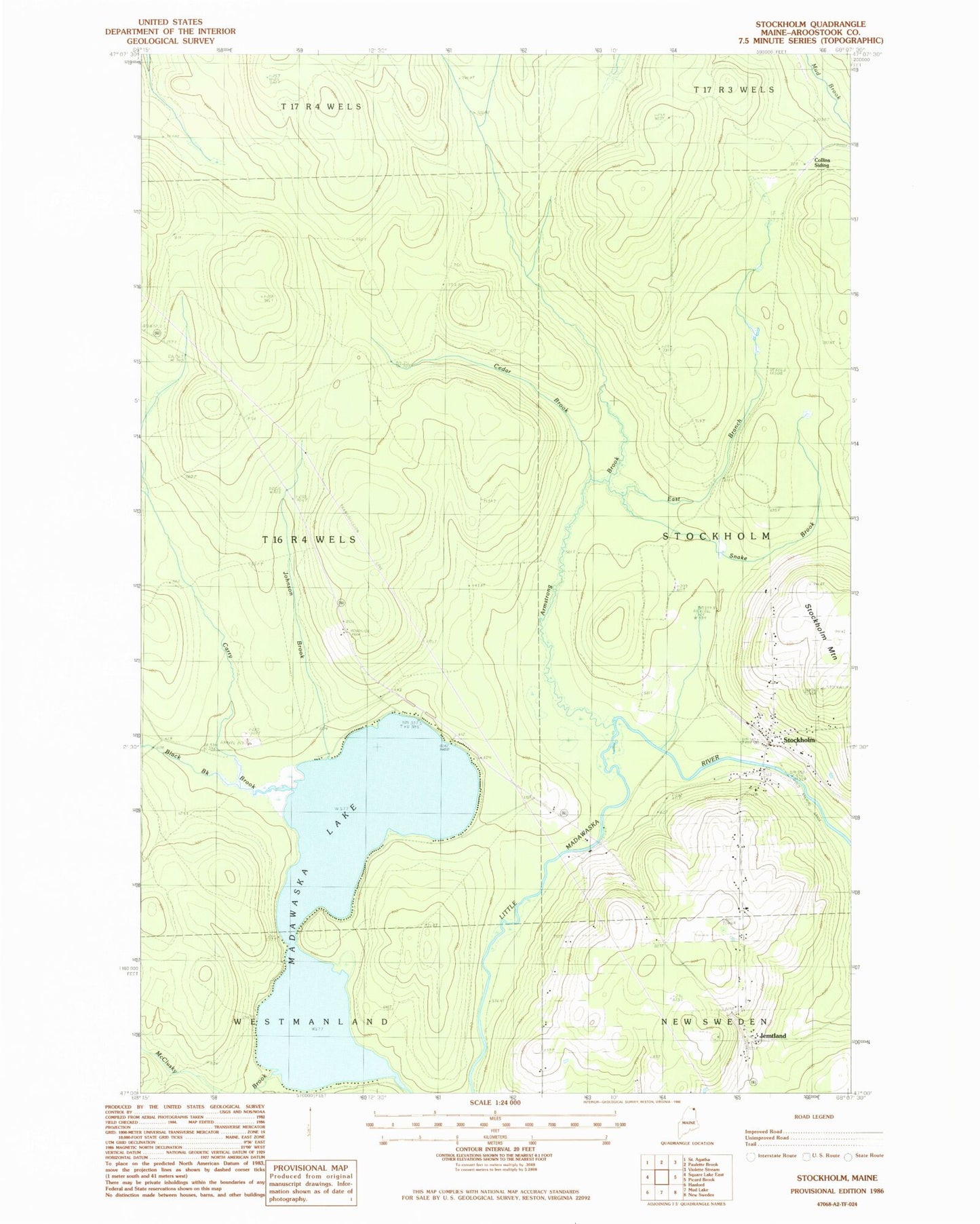
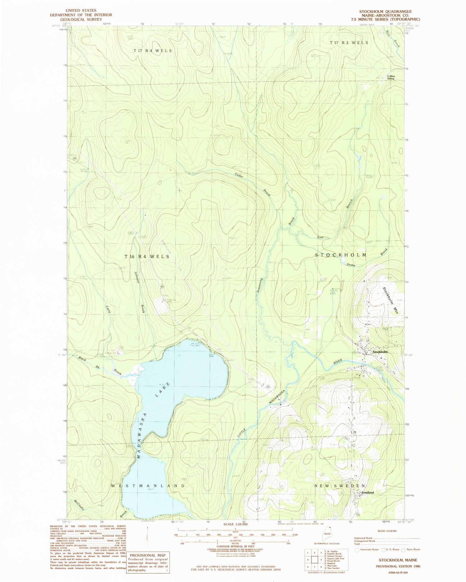
Classic USGS Stockholm Maine 7.5'x7.5' Topo Map
Couldn't load pickup availability
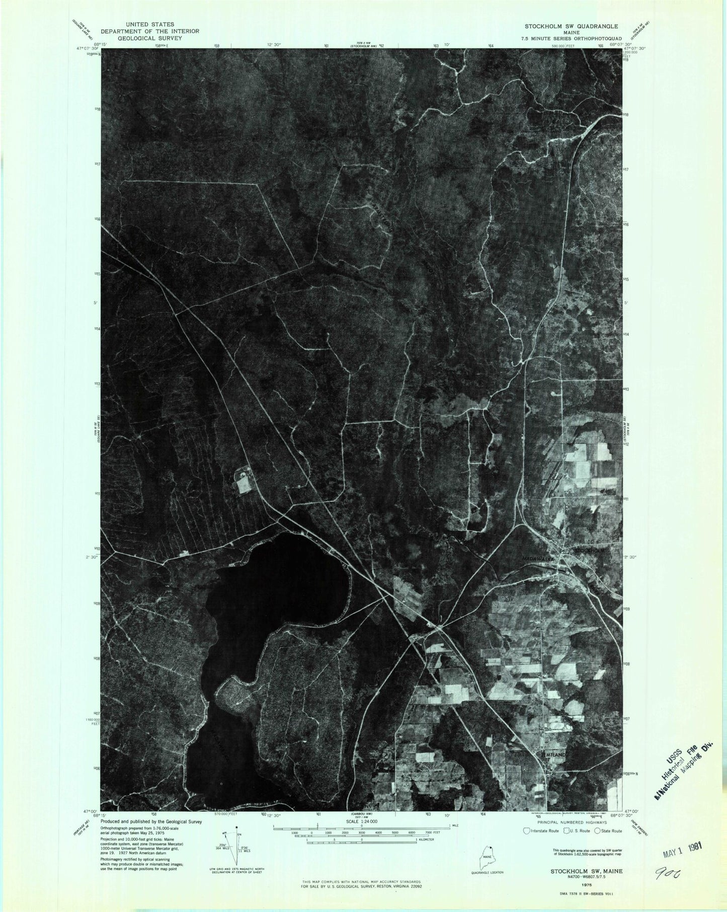
Historical USGS topographic quad map of Stockholm in the state of Maine. Typical map scale is 1:24,000, but may vary for certain years, if available. Print size: 24" x 27"
This quadrangle is in the following counties: Aroostook.
The map contains contour lines, roads, rivers, towns, and lakes. Printed on high-quality waterproof paper with UV fade-resistant inks, and shipped rolled.
Contains the following named places: Armstrong Brook, Black Brook, Carry Brook, Cedar Brook, East Branch Armstrong Brook, Jemtland, Johnson Brook, McClusky Brook, Snake Brook, Stockholm, Swedes Camp, Stockholm Elementary School, Stockholm Historical Society Museum, Stockholm Post Office, Madawaska Lake Township, Stockholm Volunteer Fire Department, Stockholm Cemetery, Saint Theresa Cemetery, First Saint Theresa Cemetery