MyTopo
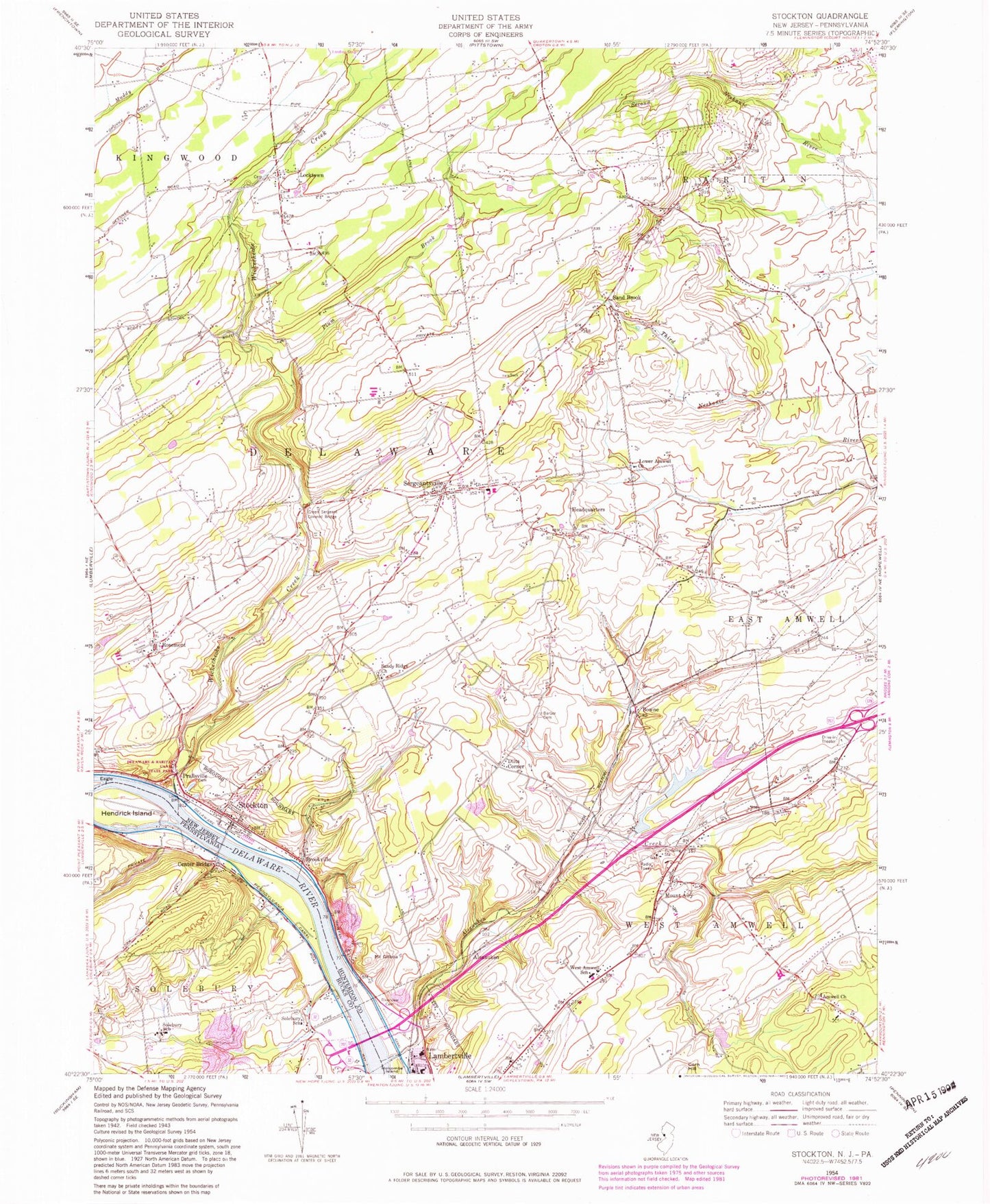
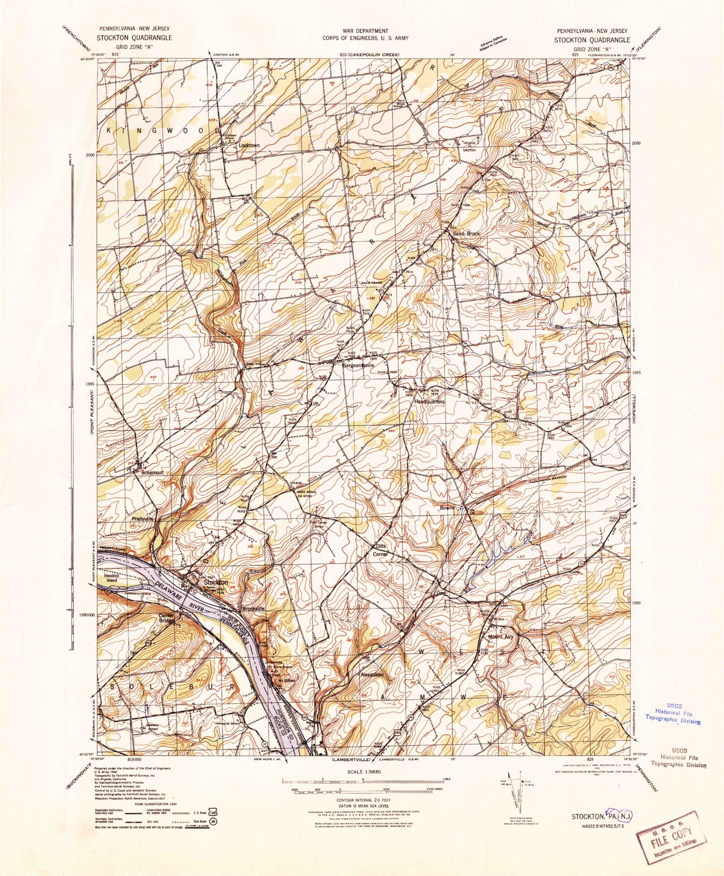
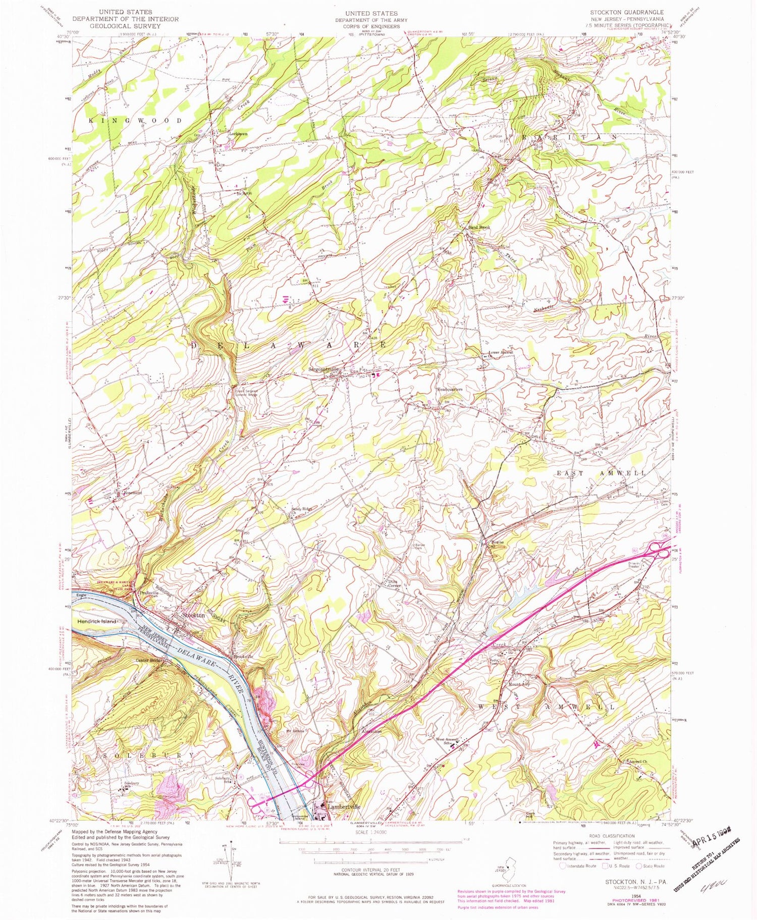
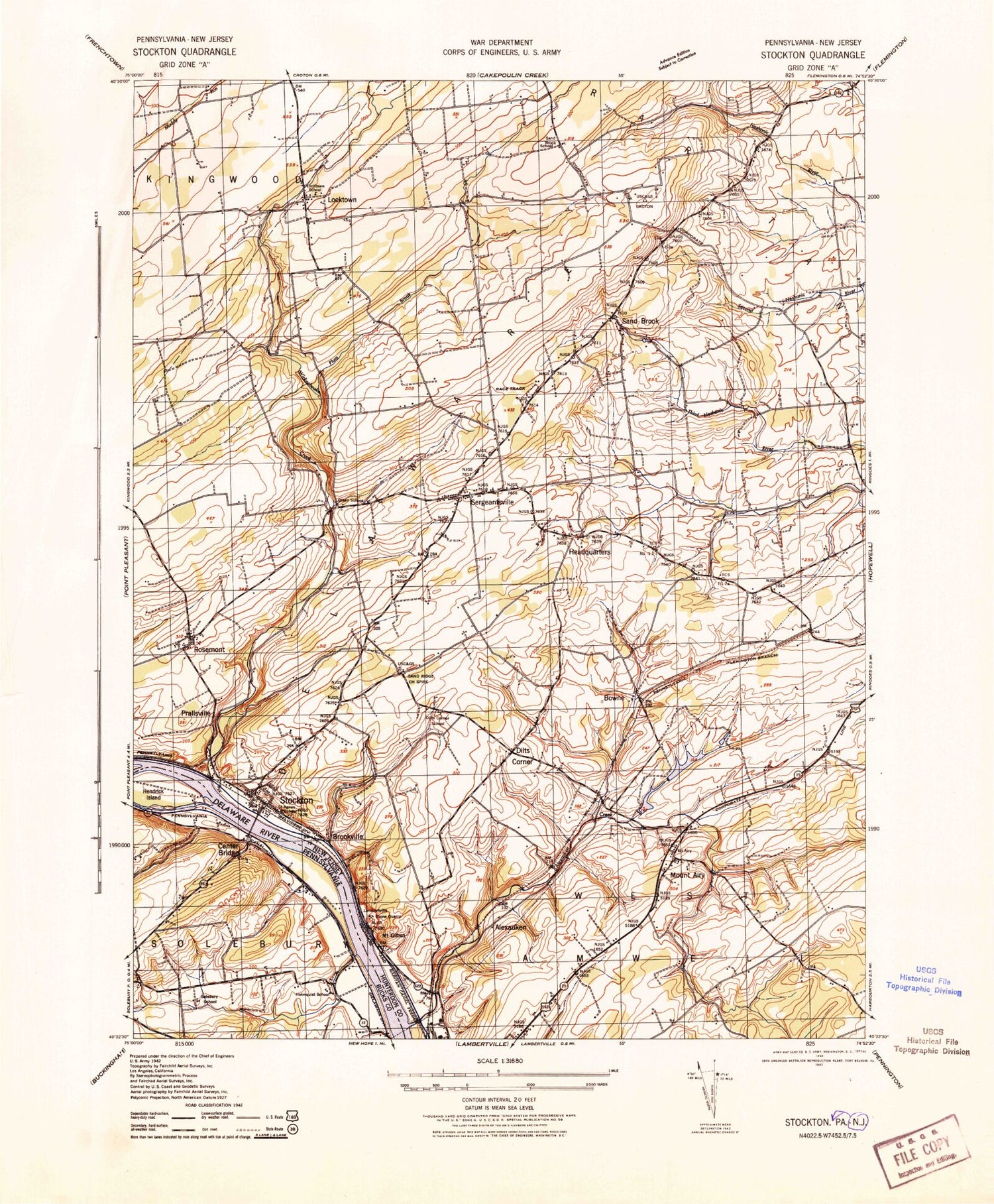
Classic USGS Stockton New Jersey 7.5'x7.5' Topo Map
Couldn't load pickup availability
Historical USGS topographic quad map of Stockton in the states of New Jersey, Pennsylvania. Typical map scale is 1:24,000, but may vary for certain years, if available. Print size: 24" x 27"
This quadrangle is in the following counties: Bucks, Hunterdon.
The map contains contour lines, roads, rivers, towns, and lakes. Printed on high-quality waterproof paper with UV fade-resistant inks, and shipped rolled.
Contains the following named places: Alexauken, Alexauken Creek, Amwell Church, Barber Cemetery, Bowne, Brookville, Dilts Corner, Eagle Island, Mount Gilboa, Green Sergeant Covered Bridge, Headquarters, Locktown, Lower Amwell Church, Mount Airy, Plum Brook, Prallsville, Holcombe Riverview Cemetery, Rosemont, Sand Brook, Sandy Ridge Church, Sergeantsville, Stockton, West Amwell School, Wickecheoke Creek, Township of West Amwell, Township of Delaware, Boss Road, Sandy Ridge, Schiller Pond Dam, Schiller Pond, The Landing Airport, Borough of Stockton, South Hunterdon Regional High School, ESC School, Stockton Elementary School, West Amwell Township Elementary School, Delaware Township Elementary School, Stockton Fire Company, West Amwell Fire Company Station 1, Sergeantsville Volunteer Fire Company, Lambertville - New Hope Ambulance and Rescue Squad, Ace Greenhouses, Lambertville Quarry, West Amwell Township Police Department, Lambertville Police Department, Delaware Township Police Department, Rosemont Post Office, Sergeantsville Post Office, The Rosemont Cemetery, Stockton Post Office, Center Bridge, Rabbit Run, Solebury School, Solebury School, Hendrick Island, Hal H Clark County, Phillips Mill, Limeport


