MyTopo
Classic USGS Stockton Utah 7.5'x7.5' Topo Map
Couldn't load pickup availability
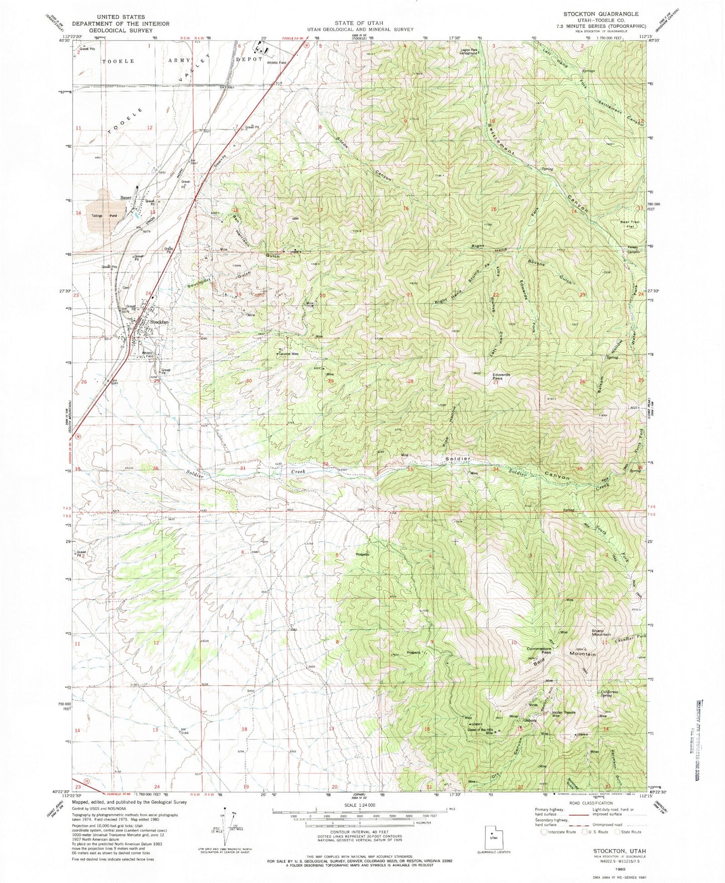
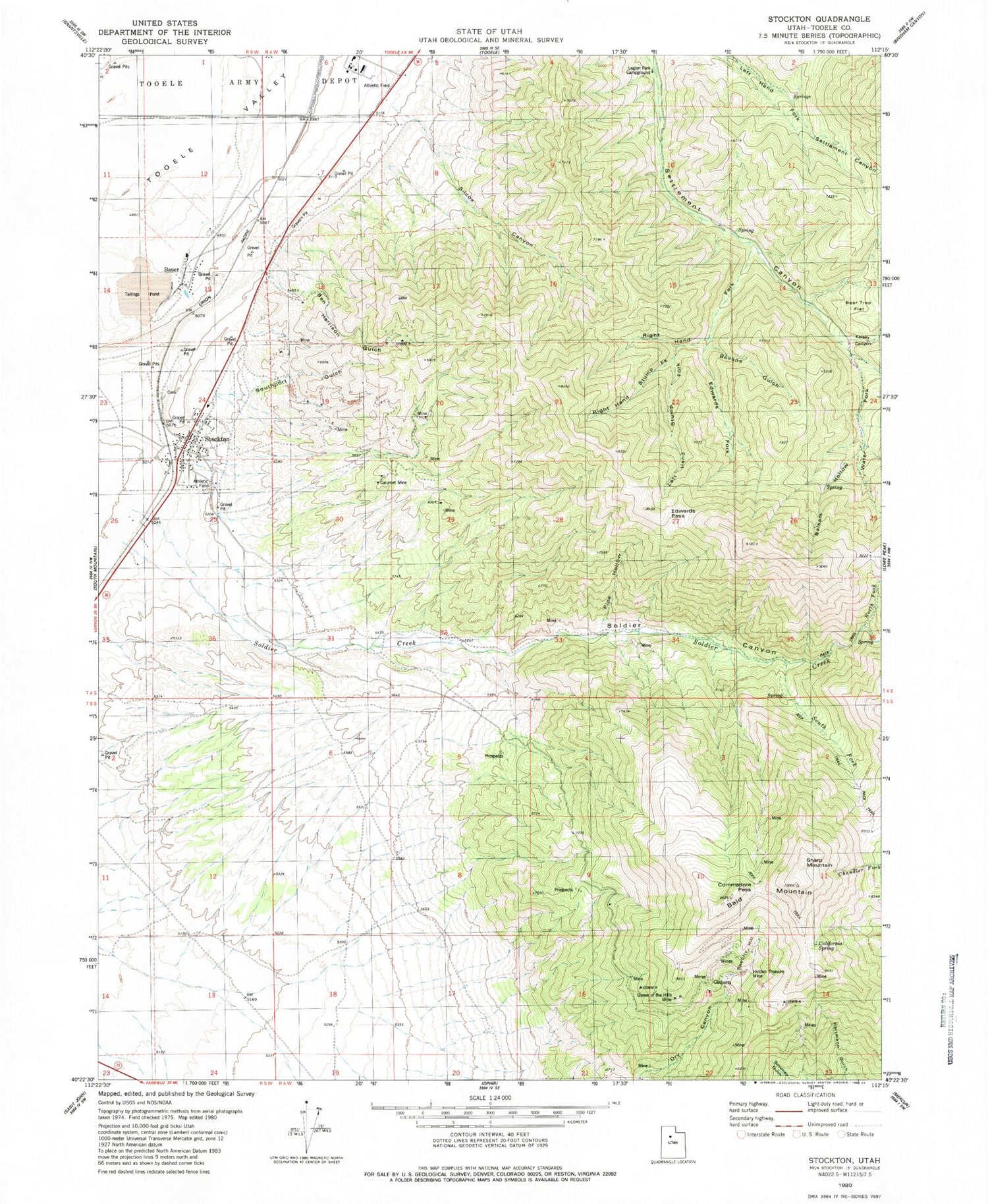
Historical USGS topographic quad map of Stockton in the state of Utah. Map scale may vary for some years, but is generally around 1:24,000. Print size is approximately 24" x 27"
This quadrangle is in the following counties: Tooele.
The map contains contour lines, roads, rivers, towns, and lakes. Printed on high-quality waterproof paper with UV fade-resistant inks, and shipped rolled.
Contains the following named places: Bald Mountain, Balsam Hollow, Bauer, Beartrap Flat, Ben Harrison Gulch, Ben Harrison Mine, Bevans Gulch, Buckhorn Spring, Calumet Mine, Commodore Pass, Edwards Fork, Edwards Pass, Hidden Treasure Mine, Honerine Mine, Jacob City, Kelsey Canyon, Left Hand Fork Kelsey Canyon, Left Hand Stump Fork, Legion Park Campground, Lynch Ridge, North Fork Soldier Creek, Pipe Hollow, Queen of the Hills Mine, Right Hand Dry Fork, Right Hand Fork, Right Hand Fork Kelsey Canyon, Right Hand Stump Fork, Sharp Mountain, Shoofly Hill, Silcox Canyon, South Fork Soldier Creek, Southport Gulch, Stockton, Stockton Bar, Stockton Cemetery, Stockton Police Department, Stockton Post Office, Stockton Volunteer Fire Department, Tad Park, The Church of Jesus Christ of Latter Day Saints, Tip Top Mine, Tooele County Detention Center, Tooele County Sheriff, Tooele Peak, Town of Stockton, Water Fork Settlement Canyon, ZIP Code: 84071


