MyTopo
Classic USGS Stoddard Wisconsin 7.5'x7.5' Topo Map
Couldn't load pickup availability
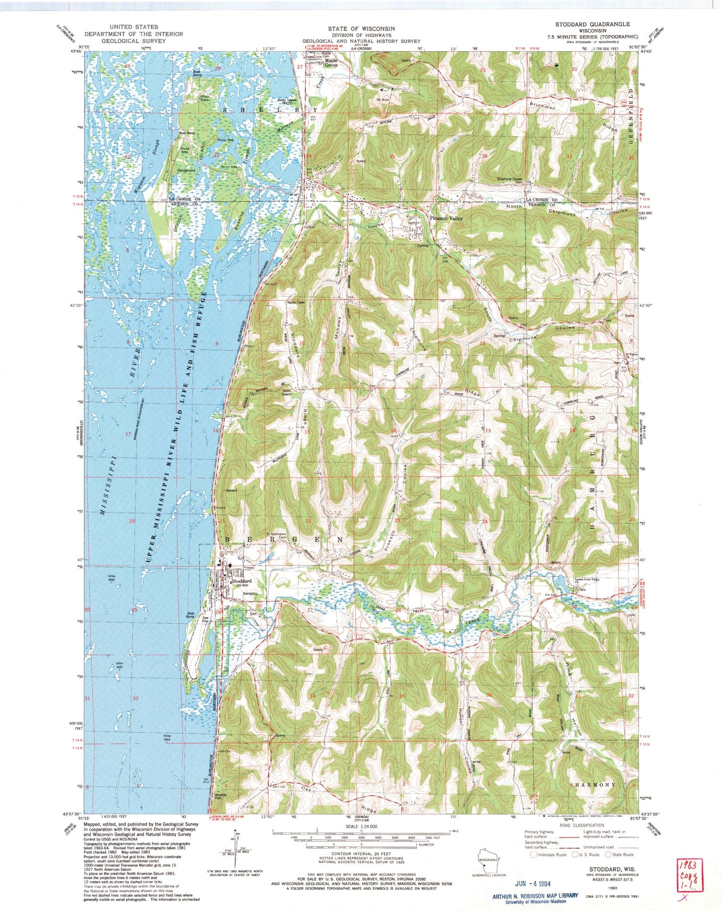
Historical USGS topographic quad map of Stoddard in the state of Wisconsin. Map scale may vary for some years, but is generally around 1:24,000. Print size is approximately 24" x 27"
This quadrangle is in the following counties: La Crosse, Vernon.
The map contains contour lines, roads, rivers, towns, and lakes. Printed on high-quality waterproof paper with UV fade-resistant inks, and shipped rolled.
Contains the following named places: Bergen Bluff State Natural Area, Boomerang Island, Chipmunk Coulee, Chipmunk Coulee Cemetery, Chipmunk Ridge, Coon Creek, Crane Island, Eagle Island, East Island, Gabel Cemetery, Goose Island, Goose Island Canoe Trail, Goose Island County Park, Grandview School, Grassy Island, Greenwing Island, Heron Island, Hillside School, Hilltop School, Hunder Coulee, Little Hoot Island, Log Island, Lower Chipmunk School, Lower Coon Valley Church, Maple Grove, Mohawk Valley, Mohawk Valley School, Mormon Creek, Mudcat Island, Mussel Island, North Chipmunk Coulee, Oak Ridge, Oak Ridge School, Old Scribbler Island, Otter Island, Pasque Island, Pelican Island, Pleasant Valley, Proksch Coulee, Pumpkinseed Island, Redwing Island, Running Slough, Saint Matthews Cemetery, Saint Matthews Lutheran School, Saint Peters Church, Slingshot Island, Small Fry Island, South Chipmunk Coulee, Southern Bluffs Elementary School, Stoddard, Stoddard - Bergen Volunteer Fire Department, Stoddard Bay, Stoddard Elementary School, Stoddard Police Department, Stoddard Post Office, Stoddard Ridge, Sunfish Island, Sunset Island, Tadpole Island, Town of Bergen, Trapping Island, Valleyview School, Village of Stoddard, Warner Landing, Wigwam Slough, Wing Hollow, WKTY-AM (La Crosse), ZIP Code: 54658


