MyTopo
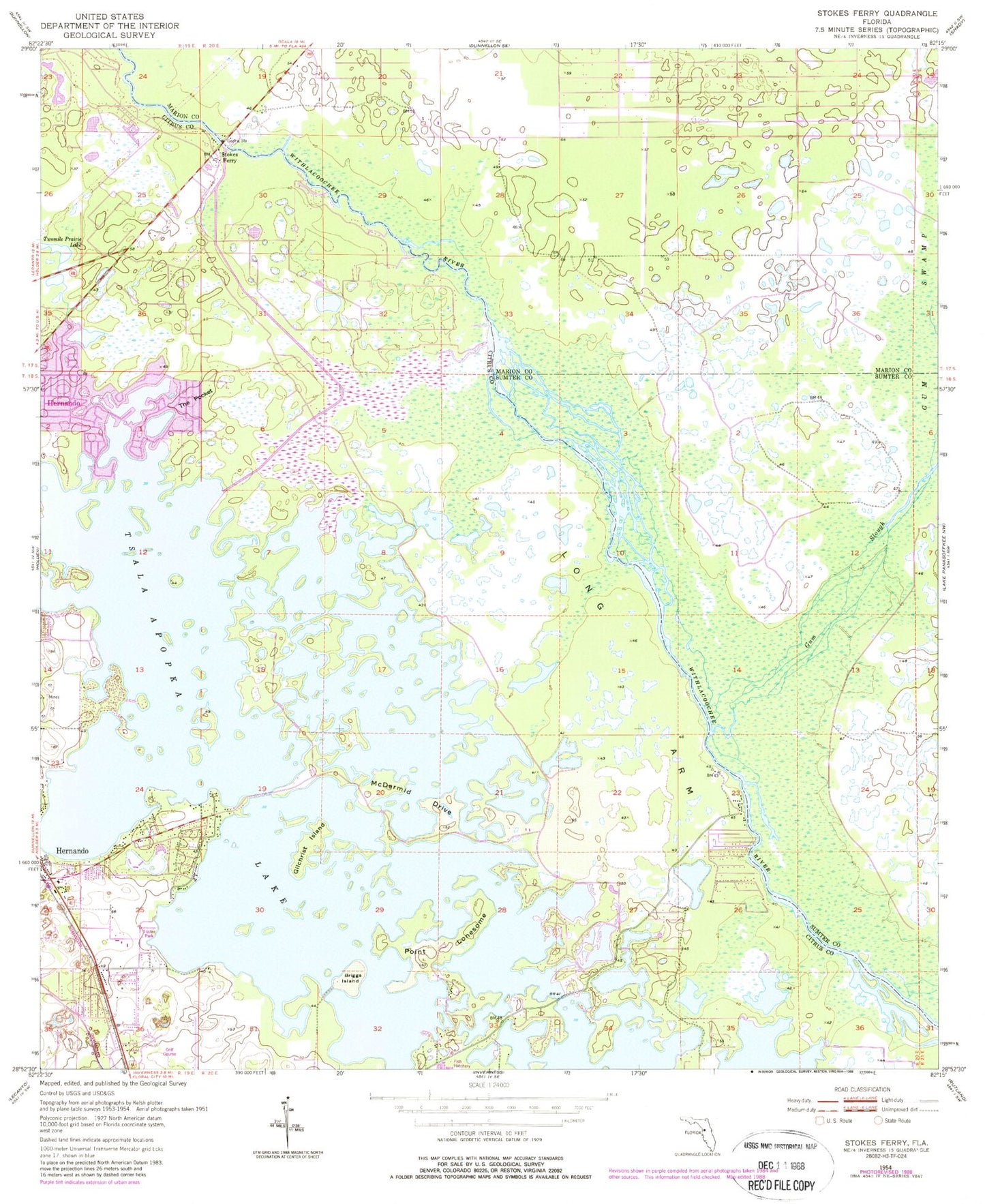
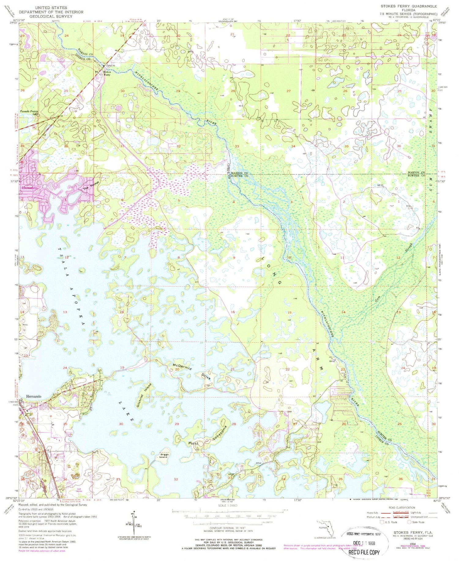
Classic USGS Stokes Ferry Florida 7.5'x7.5' Topo Map
Couldn't load pickup availability
Historical USGS topographic quad map of Stokes Ferry in the state of Florida. Typical map scale is 1:24,000, but may vary for certain years, if available. Print size: 24" x 27"
This quadrangle is in the following counties: Citrus, Marion, Sumter.
The map contains contour lines, roads, rivers, towns, and lakes. Printed on high-quality waterproof paper with UV fade-resistant inks, and shipped rolled.
Contains the following named places: Briggs Island, Gilchrist Island, Gum Slough, Gum Swamp, Hernando, Long Arm, McDermid Drive, Point Lonesome, Stokes Ferry, The Pocket, Twomile Prairie Lake, Lakeview School, Twelve Oaks Airport, Drake Ranch Airport, WRZN-AM (Hernando), Citrus Family Worship Center, Citrus County Fire Rescue Station 5, Citrus County Sheriffs Office-Substation, Christ Way Fellowship, Saint Raphael Orthodox Church, Hernando Church of the Nazarene, Church Without Walls, First Baptist Church, Hernando Post Office, Hernando Beach and Community Park, Marion County Fire Rescue Station 5 Florida Highlands, Citrus County Fire Rescue Station 15, Spooner Island, Spooner Island


