MyTopo
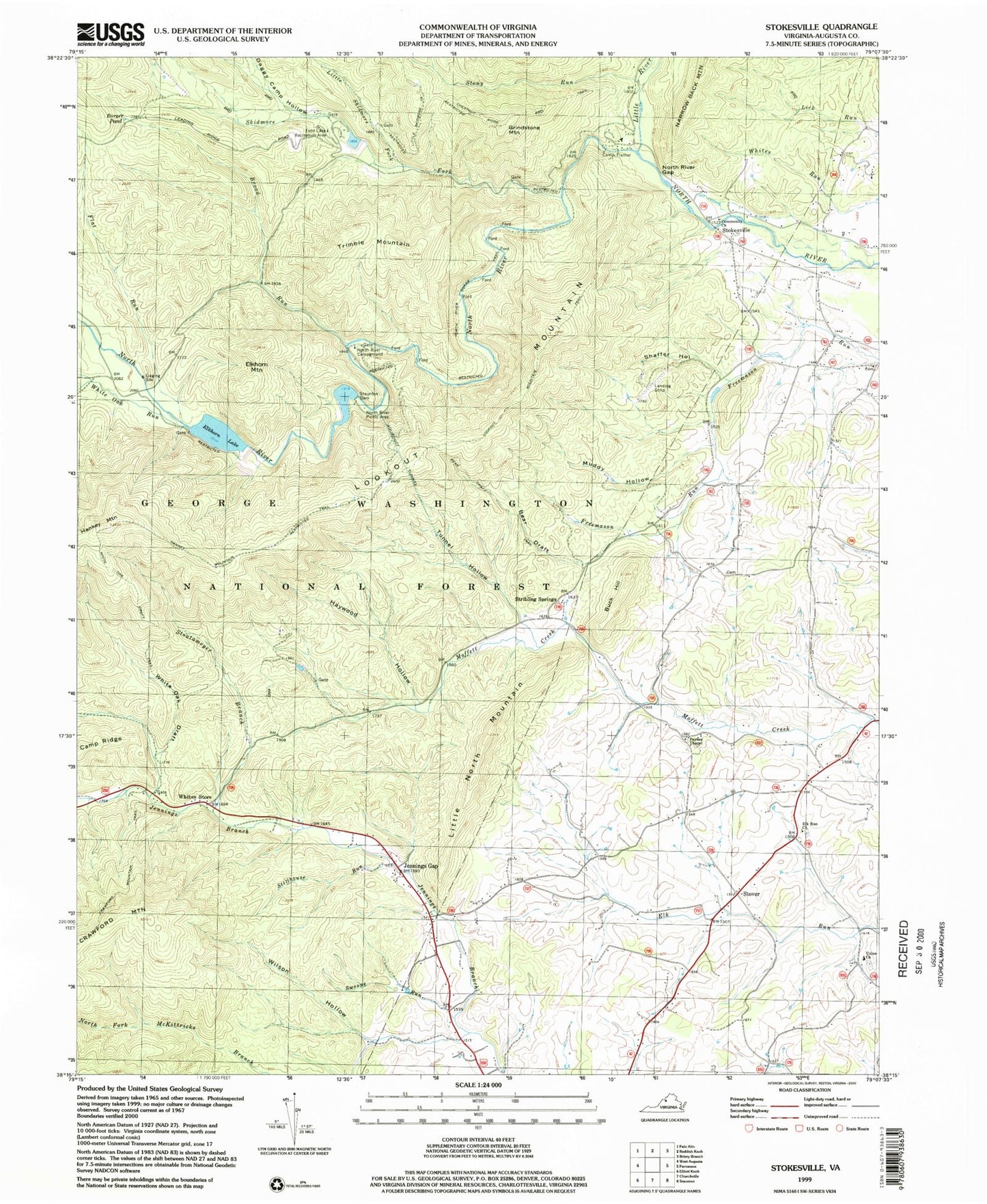
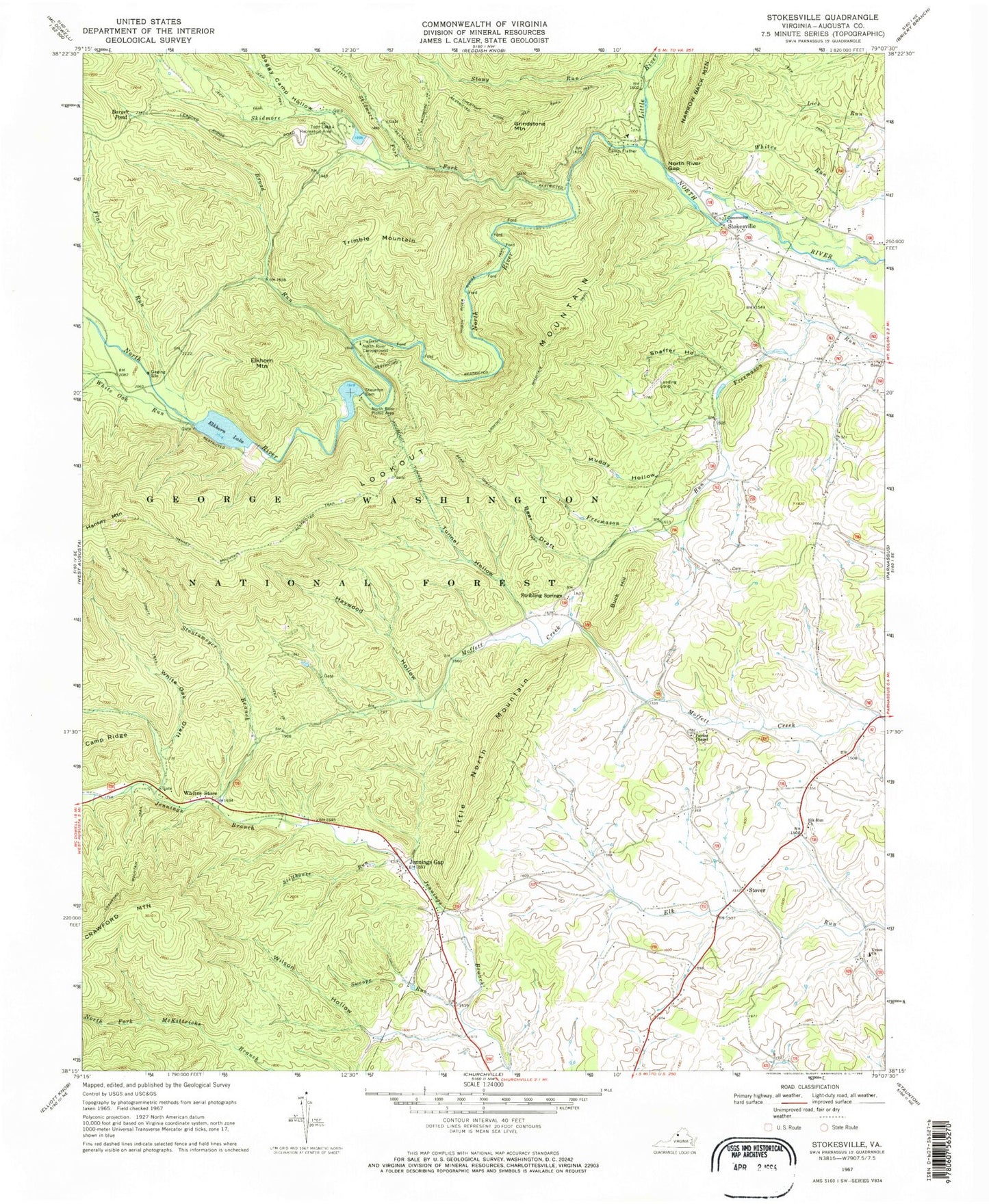
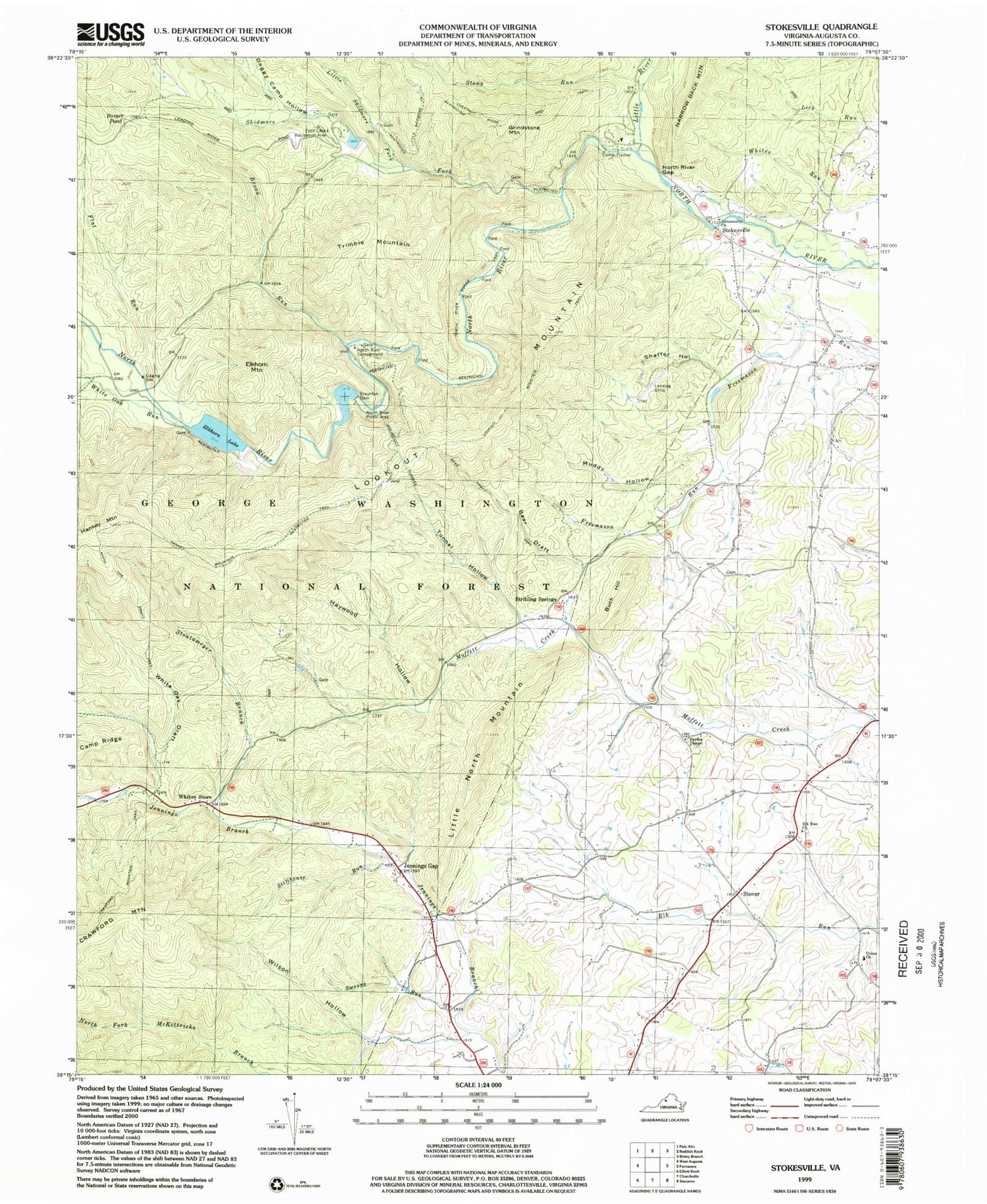
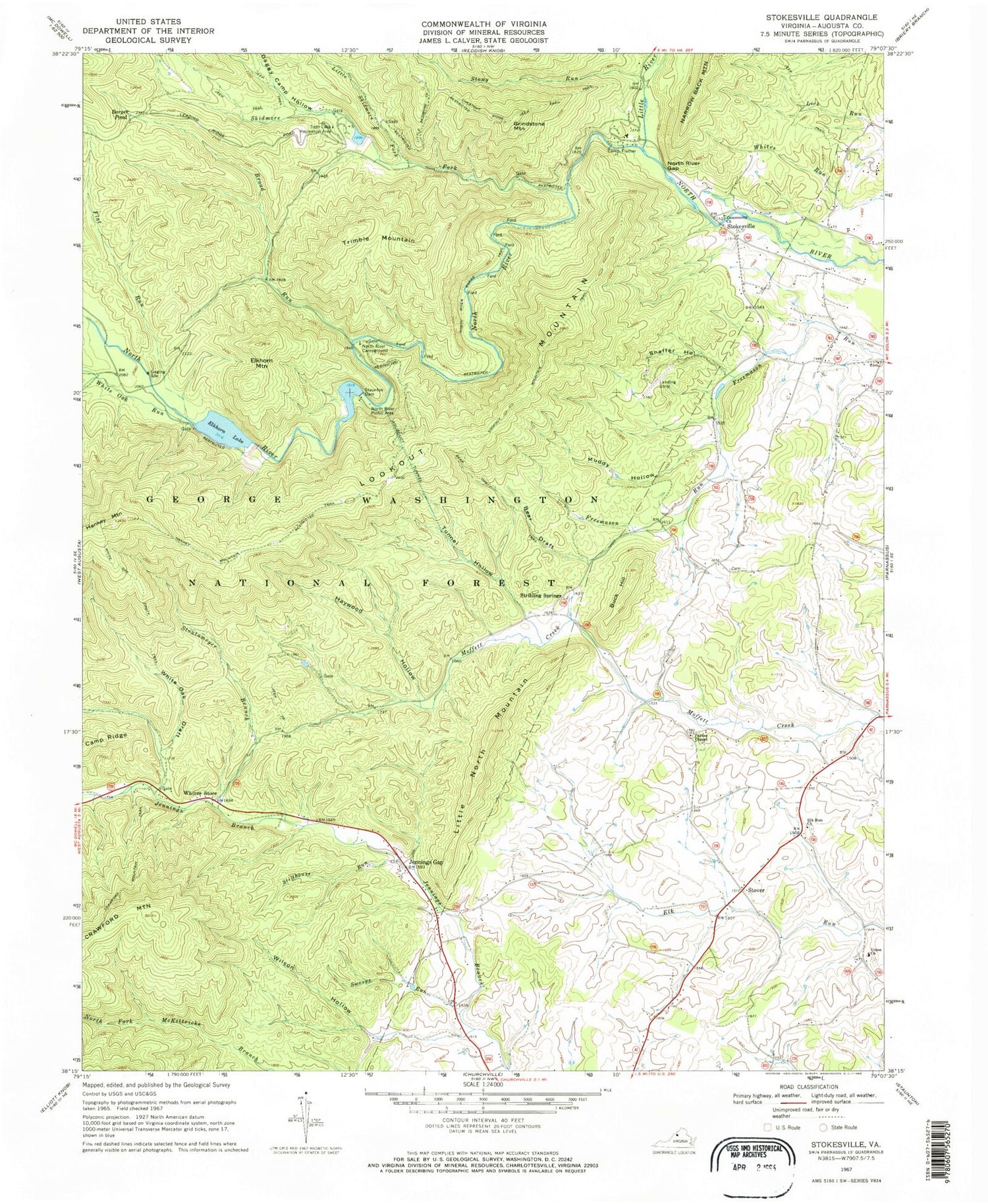
Classic USGS Stokesville Virginia 7.5'x7.5' Topo Map
Couldn't load pickup availability
Historical USGS topographic quad map of Stokesville in the state of Virginia. Typical map scale is 1:24,000, but may vary for certain years, if available. Print size: 24" x 27"
This quadrangle is in the following counties: Augusta.
The map contains contour lines, roads, rivers, towns, and lakes. Printed on high-quality waterproof paper with UV fade-resistant inks, and shipped rolled.
Contains the following named places: Barger Pond, Bear Draft, Bear Draft Trail, Broad Run, Buck Hill, Camp Flather, Coal Run, Daggy Camp Hollow, Elk Run Church, Elkhorn Mountain, Flat Run, Grindstone Mountain, Hankey Mountain, Hankey Mountain Trail, Haywood Hollow, Jennings Gap, Little North Mountain, Little River, Little Skidmore Fork, Little Skidmore Trail, Lookout Mountain, Lookout Mountain Trail, Muddy Hollow, North River Campground, North River Gap, North River Gorge Trail, North River Picnic Area, Paynes Chapel, Shaffer Hollow, Skidmore Fork, Stillhouse Run, Stokesville, Stony Run, Stoutameyer Branch, Stover, Swoope Run, Todd Lake Recreation Area, Tunnel Hollow, Union Church, White Oak Draft, White Oak Draft Trail, White Oak Run, Whites Store, Wilson Hollow, Todd Lake Camp Site, Upper North River Number 10 Dam, Upper North River Number 76 Dam, Staunton Reservoir, Echols Field, Stribling Springs, Trimble Mountain, Elkhorn Lake, Staunton Dam, Jennings Gap, Todd Lake, North River District, Bear Trap Farm, Delta Springs Farm, Jennings Gap Dairy


