MyTopo
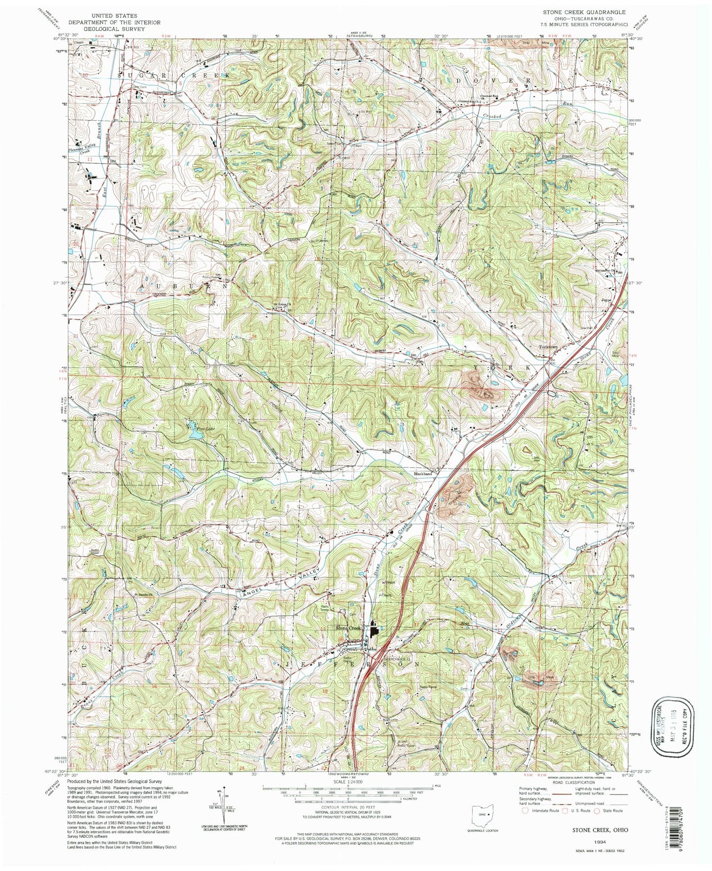
Classic USGS Stone Creek Ohio 7.5'x7.5' Topo Map
Couldn't load pickup availability
Historical USGS topographic quad map of Stone Creek in the state of Ohio. Map scale may vary for some years, but is generally around 1:24,000. Print size is approximately 24" x 27"
This quadrangle is in the following counties: Tuscarawas.
The map contains contour lines, roads, rivers, towns, and lakes. Printed on high-quality waterproof paper with UV fade-resistant inks, and shipped rolled.
Contains the following named places: Andreas Farms, Angel School, Angel Valley, Angel Valley Dairy, Angel Valley Farm, Ankeny School, Baker School, Blackband, Blackband Post Office, Buey School, Burky Farm, Camp Jungen Lake, Camp Jungen Lake Dam, Crooked Run United Methodist Cemetery, Crooked Run United Methodist Church, Cross Creek Coal Company Dam 0314-001, Cross Creek Coal Company Reservoir 0314-00, Deitz Cemetery, Farm Lake, Farm Lake Dam, Hizrick School, Jerusalem Reformed Cemetery, Jerusalem United Church of Christ, Joyce, Joyce Post Office, Kimble Sanitary Landfill, Knob Hill School, Lehn School, Marsh Pond, Marsh Pond Dam, May School, Oakgrove School, Paulus School, Pine Lake, Pine Lake Dam, Pleasant Valley Creek, Putt Dairy Farm, Putt School, Saint Jacobs Church, Saint Jacobs Reformed Cemetery, Saint Johns Church, Saint Johns German Reformed Cemetery, Salem Cemetery, Salem Church, School Number 10, School Number 2, School Number 3, School Number 4, School Number 5, Shulls Hill, Steiner School, Steitz School, Stone Creek, Stone Creek Post Office, Stone Creek Volunteer Fire Department, Stonecreek Cemetery, Township of Auburn, Township of Jefferson, Township of York, Village of Stone Creek, Welham School, York Township Volunteer Fire Department, Yorktown, Yorktown Post Office, ZIP Code: 43840