MyTopo
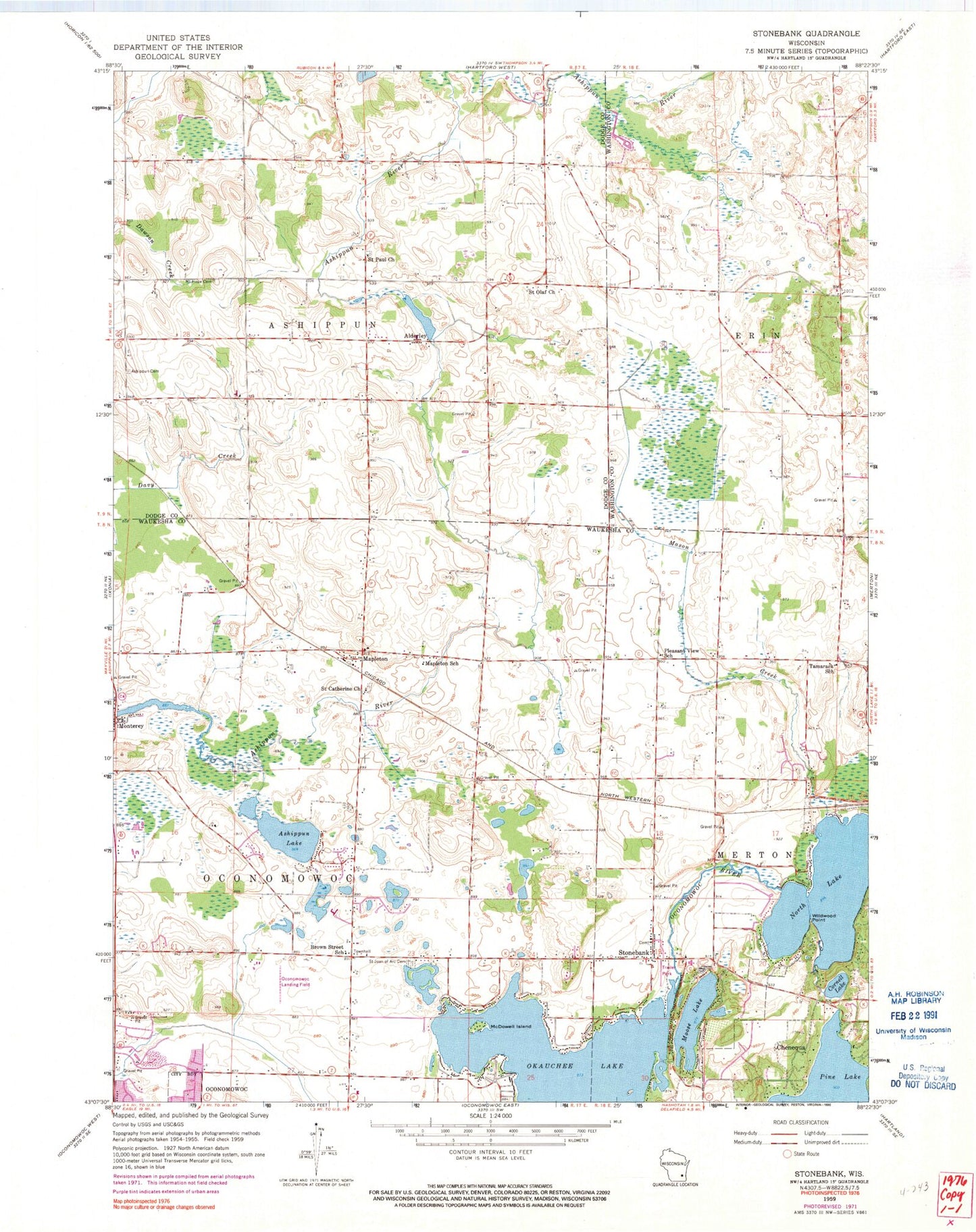
Classic USGS Stonebank Wisconsin 7.5'x7.5' Topo Map
Couldn't load pickup availability
Historical USGS topographic quad map of Stonebank in the state of Wisconsin. Map scale may vary for some years, but is generally around 1:24,000. Print size is approximately 24" x 27"
This quadrangle is in the following counties: Dodge, Washington, Waukesha.
The map contains contour lines, roads, rivers, towns, and lakes. Printed on high-quality waterproof paper with UV fade-resistant inks, and shipped rolled.
Contains the following named places: Alderley, Alderley Millpond, Alderly Mill 1866c-71 Dam, Ashippun Cemetery, Ashippun Lake, Ashippun Volunteer Fire Department Station 2, Cornell Lake, Crystal Lake, Culleden Farm, Kettle Moraine United Presbyterian Church, Mapleton, Mapleton School, Mason Creek, McDowell Island, Meadow View Elementary School, Monterey, Monterey Dam, Monterey Millpond 34, Moose Lake, Mount Hope Cemetery, North Lake, Oconomowoc Airport, Oconomowoc Cemetery, Oconomowoc Town Police Department, Okauchee Lake 85, Okauchee Lake Census Designated Place, Pleasant View School, Roskopf Farms, Saint Catherine Church, Saint Catherines Catholic Cemetery, Saint Joan of Arc Cemetery, Saint Johns Evangelical Lutheran Church, Saint Johns Lutheran Cemetery, Saint Matthew Lutheran School, Saint Olaf Church, Saint Paul Church, Stone Bank Presbyterian Cemetery, Stone Bank School, Stone Bank Volunteer Fire Department, Stone Ridge Farms, Stonebank, Tamarack Lake, Tamarack School, Town of Ashippun, Town of Oconomowoc, Twilight Farms, Wildwood Point


