MyTopo
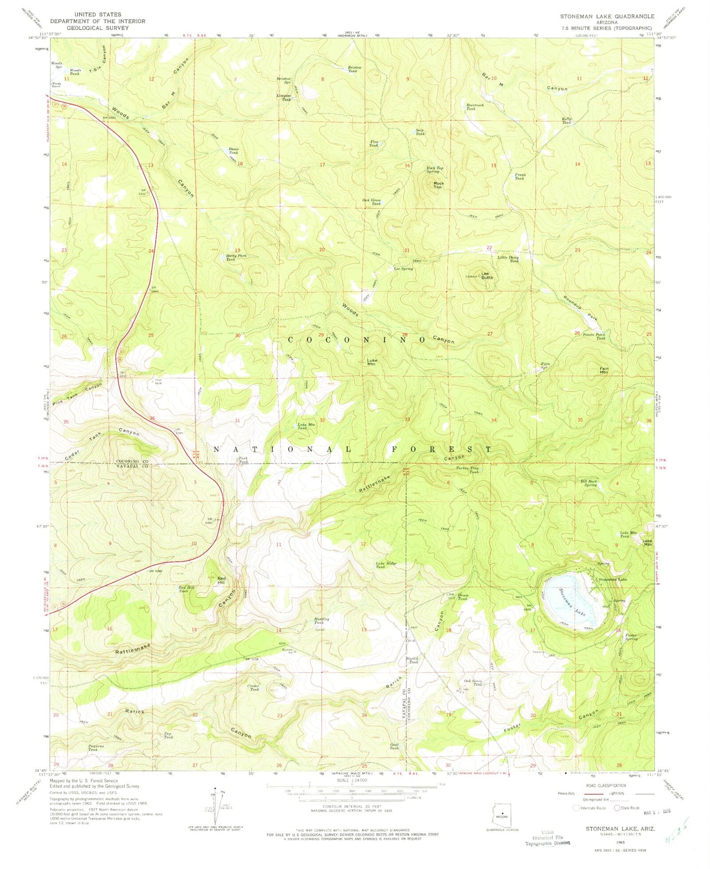
Classic USGS Stoneman Lake Arizona 7.5'x7.5' Topo Map
Couldn't load pickup availability
Historical USGS topographic quad map of Stoneman Lake in the state of Arizona. Typical map scale is 1:24,000, but may vary for certain years, if available. Print size: 24" x 27"
This quadrangle is in the following counties: Coconino, Yavapai.
The map contains contour lines, roads, rivers, towns, and lakes. Printed on high-quality waterproof paper with UV fade-resistant inks, and shipped rolled.
Contains the following named places: Bar M Canyon, Basco Tank, Bill Back Spring, Bristow Spring, Bristow Tank, Cinder Pit Tank, Cinder Tank, Drum Tank, Fain Mountain, Fain Spring, Fire Tank, Foster Canyon, Foster Spring, Frank Tank, Free Spring, Gnat Tank, Hunting Tank, Kelly Tank, Lake Mountain Tank, Lake Ridge Tank, Lee Butte, Lee Spring, Limpios Tank, Little Daisy Tank, Luke Mountain, Luke Mountain Tank, Oak Grove Tank, Oak Grove Tank, Paqueno Tank, Potato Patch Tank, Racetrack Tank, Rarick Tank, Red Hill, Red Hill Tank, Rock Top, Rock Top Spring, Rocky Park Tank, Roundup Park, Seep Tank, Stoneman Lake, Stoneman Lake, T-Six Canyon, Tap Tank, Turkey Trap Tank, Woods Spring, Woods Tank, Elk Tank, Franks Tank, Miller Water Tank, Pine Tank, Tree Spring, Weir Number Eight, Weir Number Nine, Weir Number Seven, Fork Tank, Potato Patch Park, Wier Number Eight Tank, Tree Tank, Middle Water Tank, Gash Flat, Stoneman Lake Post Office (historical), Robbers Roost Tank, Hopeful Tank, I-Seventeen Tank, Shallow Tank, Flat Tank, Woods Canyon Tank, Juniper Tank, Grady Tank, Cluster Tank, Saddle Tank, Lee Butte Tank, Jack Tank, Gage Tank, Intersection Tank, Yellow Jacket Tank, Joe Hunt Tank, Salt Lick Tank, Potato Tank, Stoneman Lake Boat Launch


