MyTopo
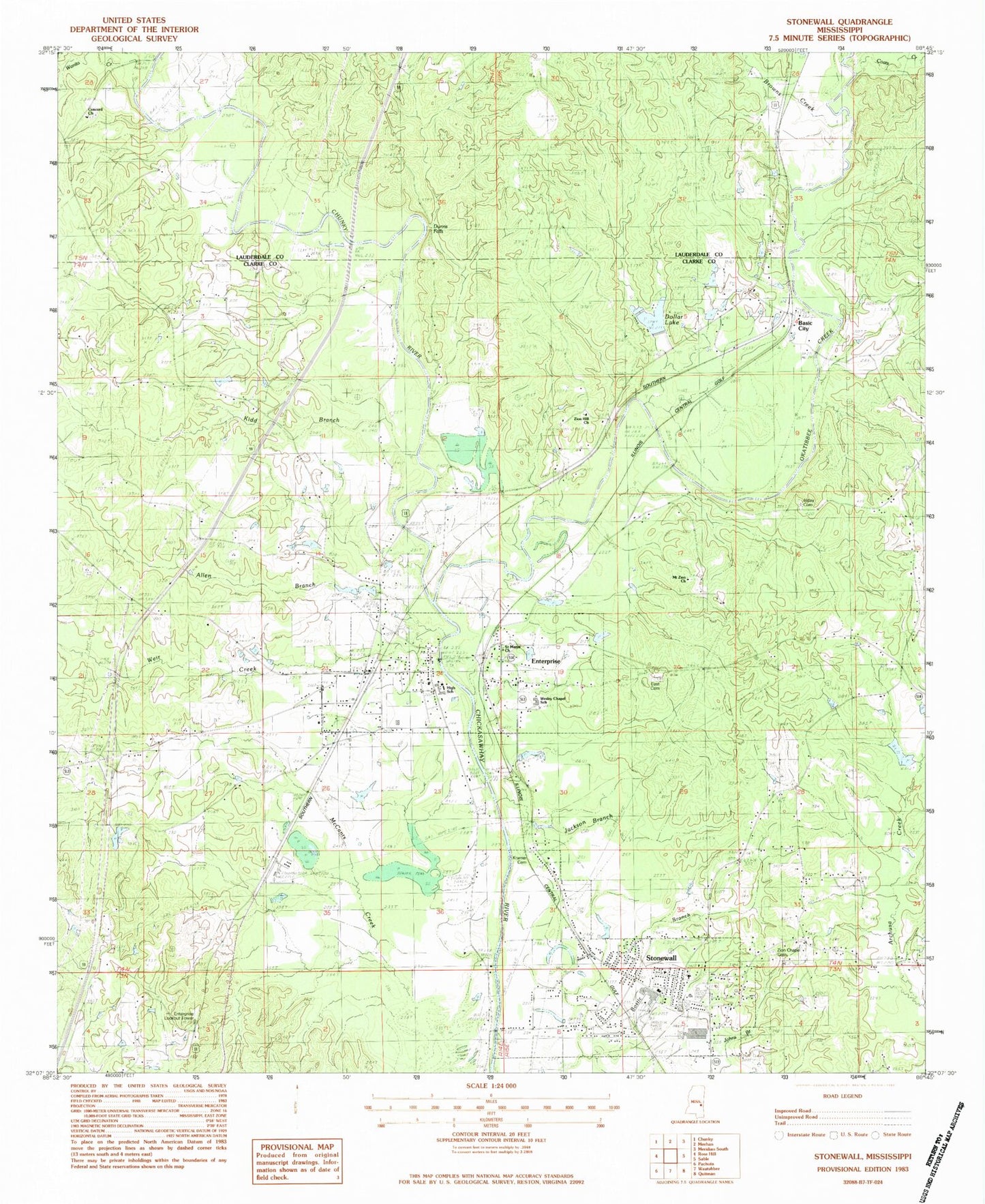
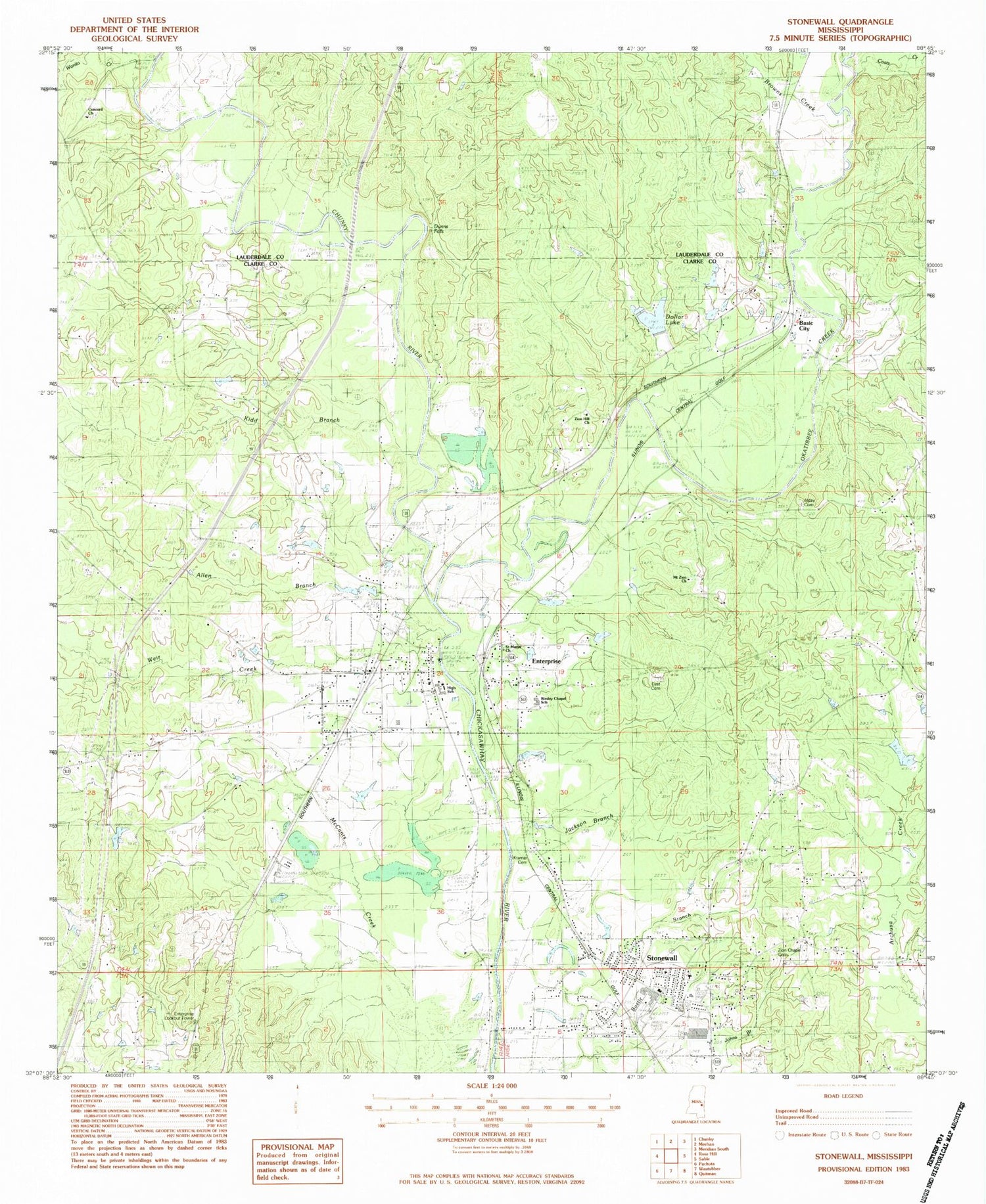
Classic USGS Stonewall Mississippi 7.5'x7.5' Topo Map
Couldn't load pickup availability
Historical USGS topographic quad map of Stonewall in the state of Mississippi. Map scale may vary for some years, but is generally around 1:24,000. Print size is approximately 24" x 27"
This quadrangle is in the following counties: Clarke, Lauderdale.
The map contains contour lines, roads, rivers, towns, and lakes. Printed on high-quality waterproof paper with UV fade-resistant inks, and shipped rolled.
Contains the following named places: Alday Cemetery, Allen Branch, Basic, Boyd School, Browns Creek, C W McLemore Pond Dam, Chunky River, Coats Creek, Concord Cemetery, Concord Church, Dollar Lake, Dunns Falls, Earles Ferry, East Cemetery, East Enterprise, East Jerusalem Church, Enterprise, Enterprise Baptist Church, Enterprise Cemetery, Enterprise High School, Enterprise Lookout Tower, Enterprise Police Department, Enterprise Post Office, Enterprise Volunteer Fire Department Station 1, Enterprise Volunteer Fire Department Station 2, Fivemile Branch, Issac Moore Pond Dam, J Gandy Lake Dam, Jackson Branch, Jesse Davis Pond Dam, Kidd Branch, Kidd School, Kramer Cemetery, Mayhoff Springs, Mount Zion Church, New Hope Church, Okatibbee Creek, Pleasant Hill School, Saint Marys Church, Stonewall, Stonewall Cemetery, Stonewall Police Department, Stonewall Post Office, Stonewall Volunteer Fire Department, Supervisor District 3, Town of Enterprise, Town of Stonewall, Wanita Creek, Weir Creek, Wesley Chapel School, West Enterprise, White House, Whites Mill, Zion Chapel Cemetery, Zion Hill Church, ZIP Codes: 39330, 39363


