MyTopo
Classic USGS Storrie California 7.5'x7.5' Topo Map
Couldn't load pickup availability
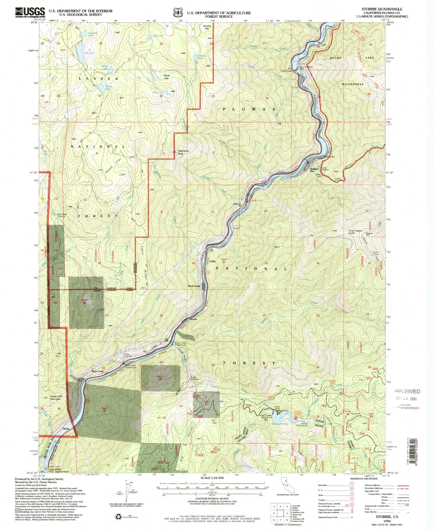
Historical USGS topographic quad map of Storrie in the state of California. Map scale may vary for some years, but is generally around 1:24,000. Print size is approximately 24" x 27"
This quadrangle is in the following counties: Plumas.
The map contains contour lines, roads, rivers, towns, and lakes. Printed on high-quality waterproof paper with UV fade-resistant inks, and shipped rolled.
Contains the following named places: Bucks Creek, Bucks Creek Powerhouse, Camp Rodgers, Camp Rodgers Saddle, Camp Rogers Post Office, Campbell Lake, Campbells Lakes, Cedar Creek, Chambers Creek, Chambers Peak, China Creek, Chips Creek, Cresta Dam, Elephant Butte, Foreman Creek, Granite Creek, Grassy Lake, Grizzly Forebay, Grizzly Forebay 94-003 Dam, Grizzly Forebay Campgsite, Grouse Hollow, Indian Jim Elementary School, Injun Jim Campground, Jackass Creek, James Lee Campground, Letterbox Creek, Long Lake, Merlin, Milk Ranch Creek, Mud Lake, Murphy Creek, Murphy Flat, Murphy Lake, North Valley Creek, Oliver Flat, Oliver Lake, Opapee Creek, Pauls Creek, Pine Creek, Reese Flat, Rock Creek, Rock Creek Camp, Rock Creek Crossing, Rock Creek Dam, Rock Creek Powerhouse, Rock Creek Reservoir, Rock Crest, Rodgers Flat, Rodgers Flat Heliport, Saddle Lake, Storrie, Storrie Census Designated Place, Sugar Loaf Mountain, Swamp Creek, The Island, Tobin, Tobin Census Designated Place, Tobin Ridge, Tunnel 17, Workmans Bar


