MyTopo
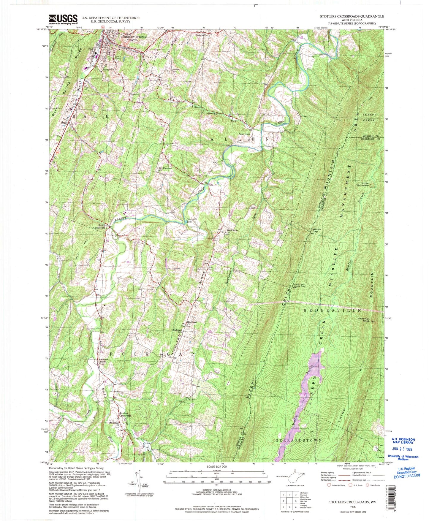
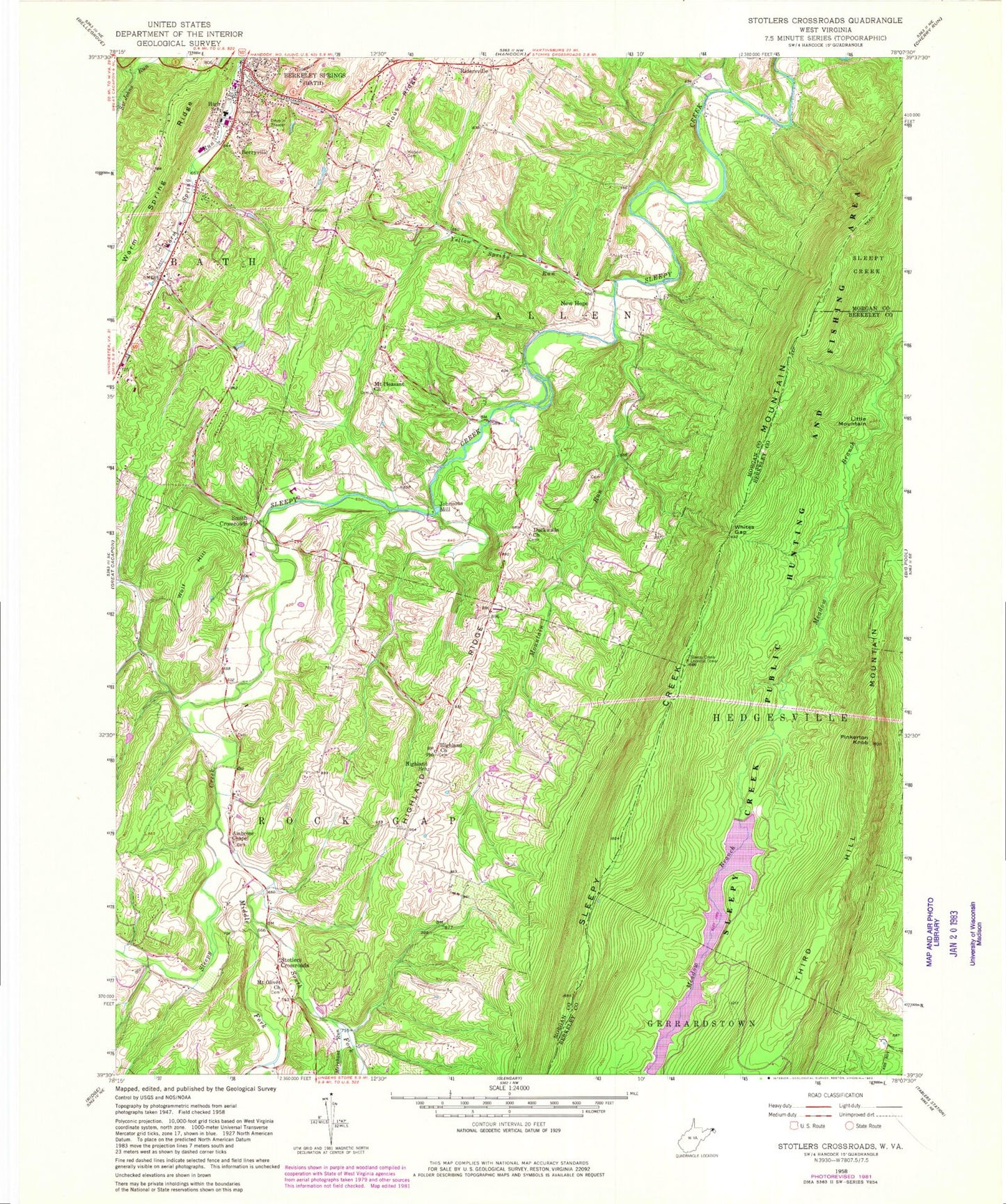
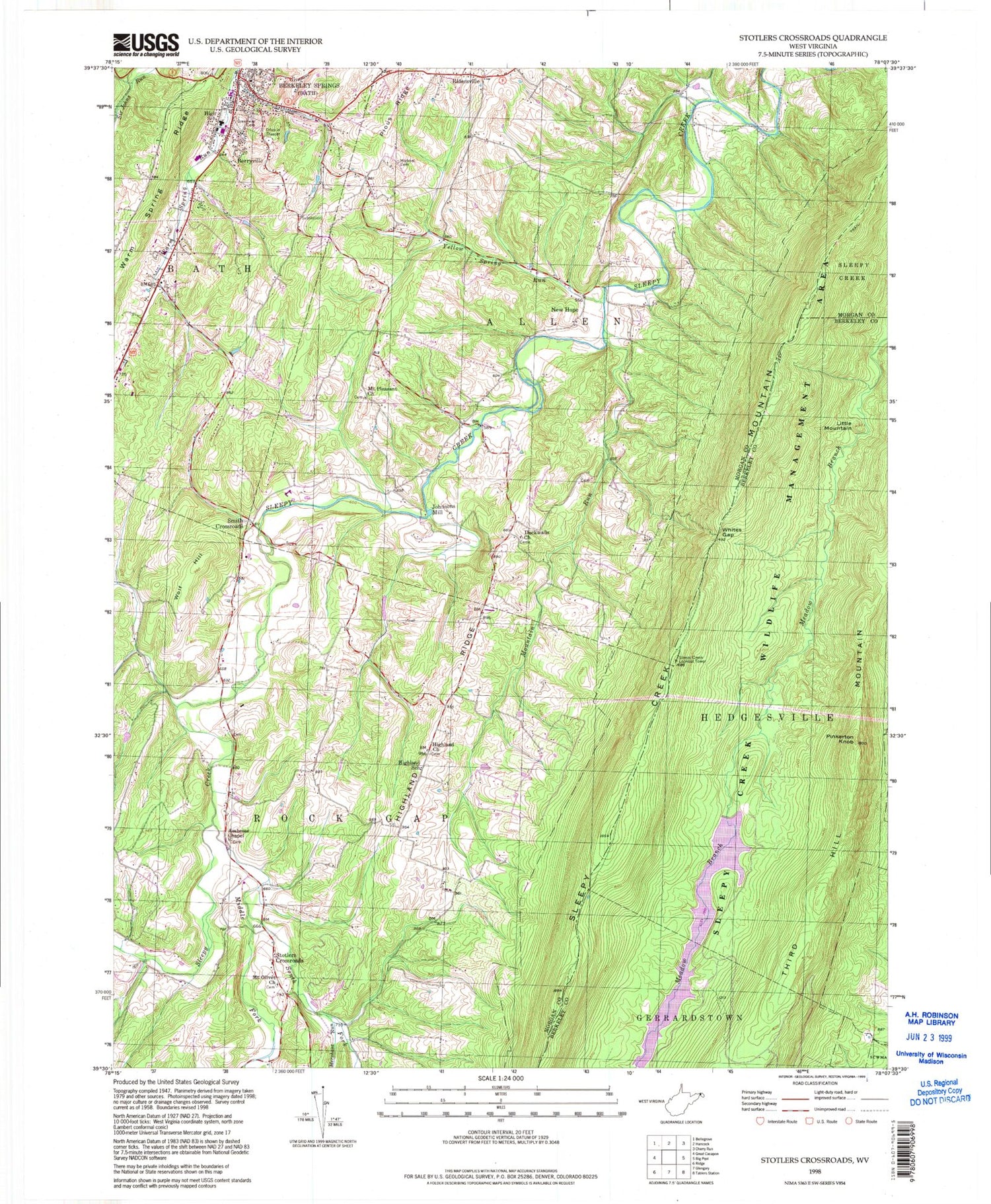
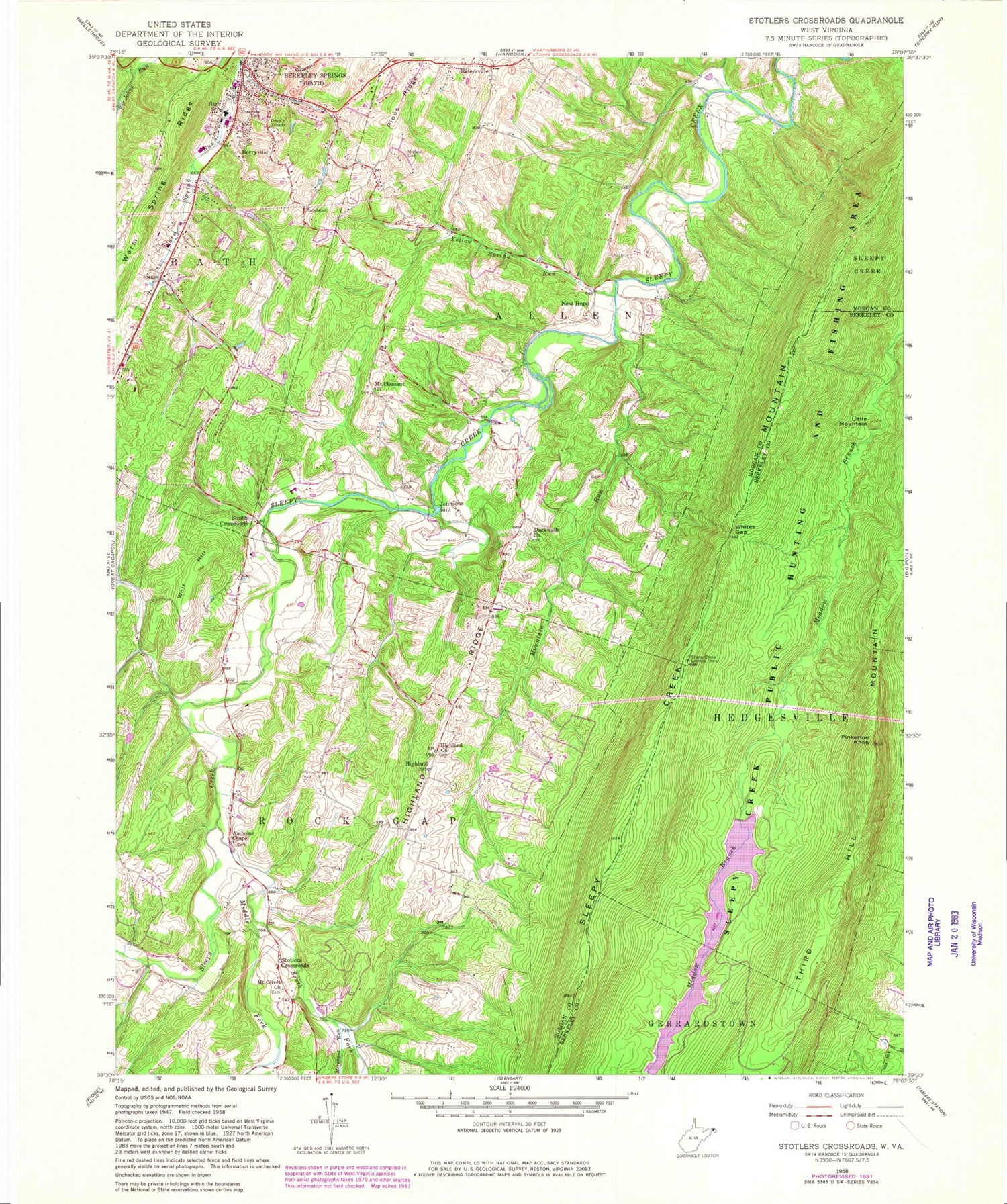
Classic USGS Stotlers Crossroads West Virginia 7.5'x7.5' Topo Map
Couldn't load pickup availability
Historical USGS topographic quad map of Stotlers Crossroads in the state of West Virginia. Typical map scale is 1:24,000, but may vary for certain years, if available. Print size: 24" x 27"
This quadrangle is in the following counties: Berkeley, Morgan.
The map contains contour lines, roads, rivers, towns, and lakes. Printed on high-quality waterproof paper with UV fade-resistant inks, and shipped rolled.
Contains the following named places: Sleepy Creek Lake, Ambrose Chapel, Duckwalls Church, Greenway Cemetery, Highland United Methodist Church, Highland Ridge, Highland School (historical), Iden Run, Merchant Run, Michael Cemetery, Middle Fork Sleepy Creek, Mount Olivet United Methodist Church, Mount Pleasant United Methodist Church, Mountain Run, Pinkerton Knob, Pious Ridge, Posey Hollow, Sleepy Creek Wildlife Management Area, South Fork Sleepy Creek, Whites Gap, Yellow Spring Run, New Hope, Smith Crossroads, Little Mountain, Berryville, Johnsons Mill, Ridersville, Stotlers Crossroads, Wolf Hill, Sleepy Creek Dam, Berkeley Springs Junior-Senior High School (historical), Berkeley Springs Presbyterian Church, Church of Christ, Duckwall, Highland Cemetery, Mount Olivet Cemetery, Mount Pleasant Cemetery, New Hope Presbyterian Church, Widmyer Elementary School, Ambrose Chapel Cemetery, Duckwall Cemetery, Highland Ridge Cemetery, Warm Springs Run Structure One Dam, Warm Springs Run Structure Two Dam, Warm Springs Run Structure Three Dam, Warm Springs Run Structure Four Dam, Warm Springs Run Structure Five Dam, Warm Springs Run Structure Six Dam, Warm Springs Run Structure Seven Dam, Warm Springs Run Structure Nine Dam, WCST-AM (Berkeley Springs), WCST-FM (Berkeley Springs), Sleepy Creek Lookout Tower (historical), Myers (historical), Whites Gap, Town of Bath (Berkeley Springs), District 2, Berkeley Springs High School, Morgan County Rescue Service, West Virginia State Police Troop 2 - Berkeley Springs Detachment


