MyTopo
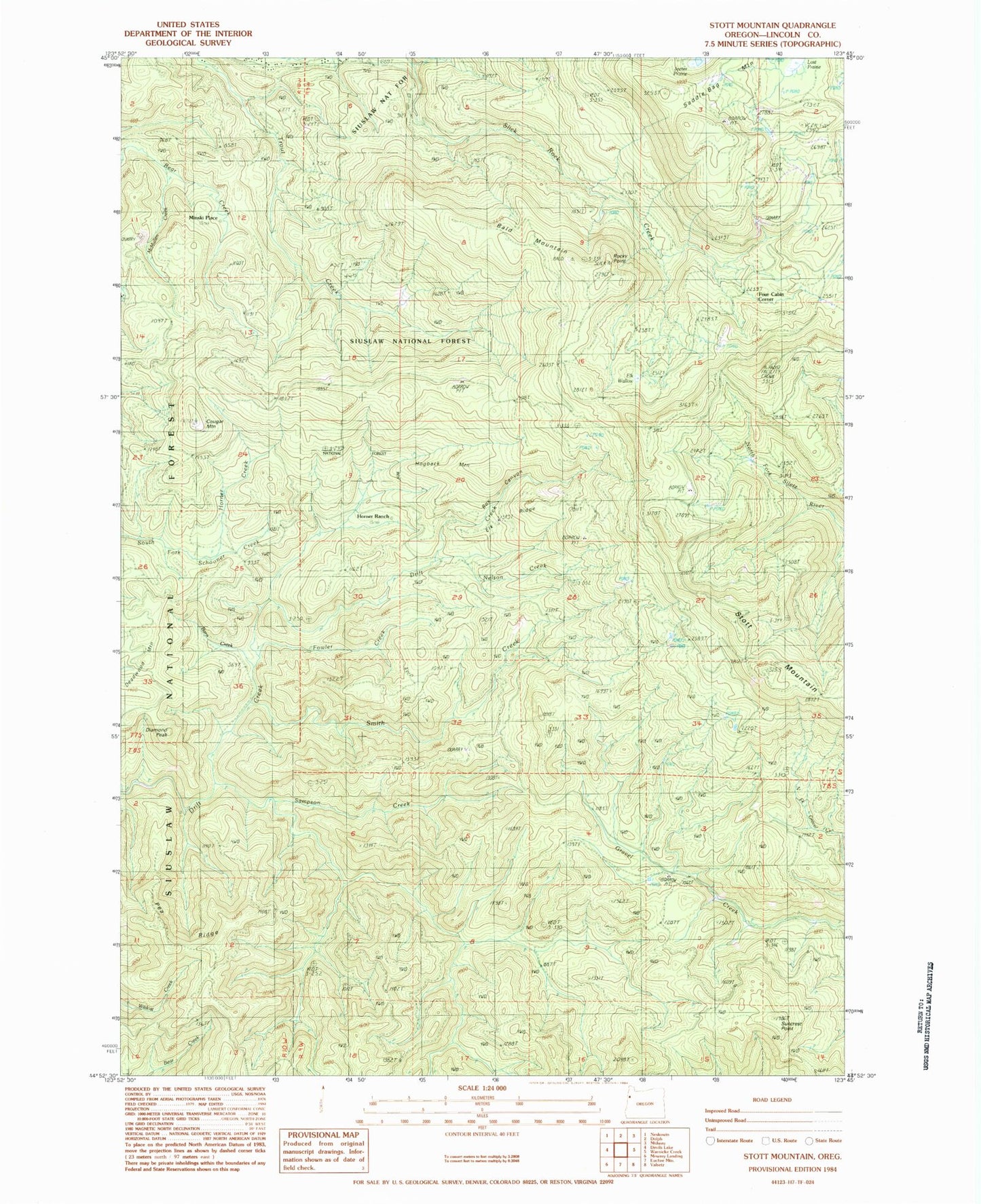
Classic USGS Stott Mountain Oregon 7.5'x7.5' Topo Map
Couldn't load pickup availability
Historical USGS topographic quad map of Stott Mountain in the state of Oregon. Typical map scale is 1:24,000, but may vary for certain years, if available. Print size: 24" x 27"
This quadrangle is in the following counties: Lincoln.
The map contains contour lines, roads, rivers, towns, and lakes. Printed on high-quality waterproof paper with UV fade-resistant inks, and shipped rolled.
Contains the following named places: Suncrest Point, Bald Mountain, Barn Creek, Box Canyon, Cougar Mountain, Diamond Peak, Elk Ridge, Elk Wallow, Four Cabin Corner, Fowler Creek, Hogback Mountain, Horner Creek, Horner Ranch, Lost Prairie, Minski Place, Nelson Creek, Pea Ridge, Rocky Point, Saddle Bag Mountain, Sampson Creek, Seven-Nine Trail, Smith Creek, Stott Mountain, Suncrest Point Lookout, Side Camp (historical), McMullen Creek


