MyTopo
Classic USGS Stoy Illinois 7.5'x7.5' Topo Map
Couldn't load pickup availability
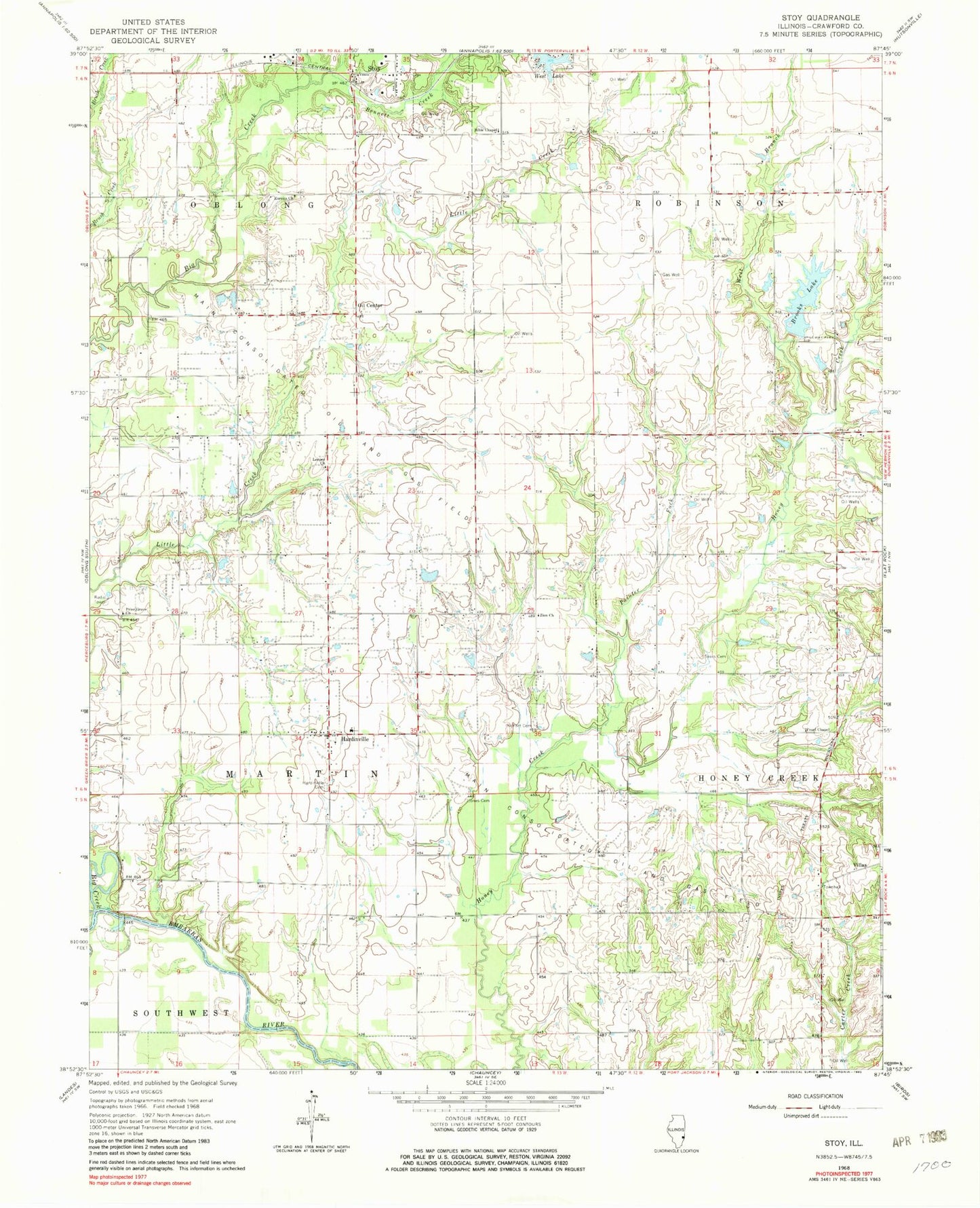
Historical USGS topographic quad map of Stoy in the state of Illinois. Map scale may vary for some years, but is generally around 1:24,000. Print size is approximately 24" x 27"
This quadrangle is in the following counties: Crawford.
The map contains contour lines, roads, rivers, towns, and lakes. Printed on high-quality waterproof paper with UV fade-resistant inks, and shipped rolled.
Contains the following named places: Bennett Creek, Bible Chapel, Big Creek, Bottoms School, Brooks Lake, Brooks Lake Dam, Center School, Eureka Church, Eureka School, Grand Glade Post Office, Hardinville, Hardinville Cemetery, Henderson School, Holmes Farms, Hurricane School, Inboden Farms, Jones Cemetery, Leeper Church, Lucky Ford Ferry, Main Consolidated Oil and Gas Field, Mann School, Monarch School, Mount Pleasant Church, Mount Pleasant School, Moyer School, Oil Center, Painter Fork, Pearl Chapel United Methodist Church, Price School, Prier Cemetery, Prior Grove Baptist Church, Prior Grove Cemetery, Richart Cemetery, Sears Cemetery, Shew Farms, Spencer Bridge, Star School, Stoy, Township of Martin, Victor School, Victory Church, Village of Stoy, Villas, West Branch Honey Creek, West Lake, Wilson School, Zion Church, ZIP Code: 62454