MyTopo
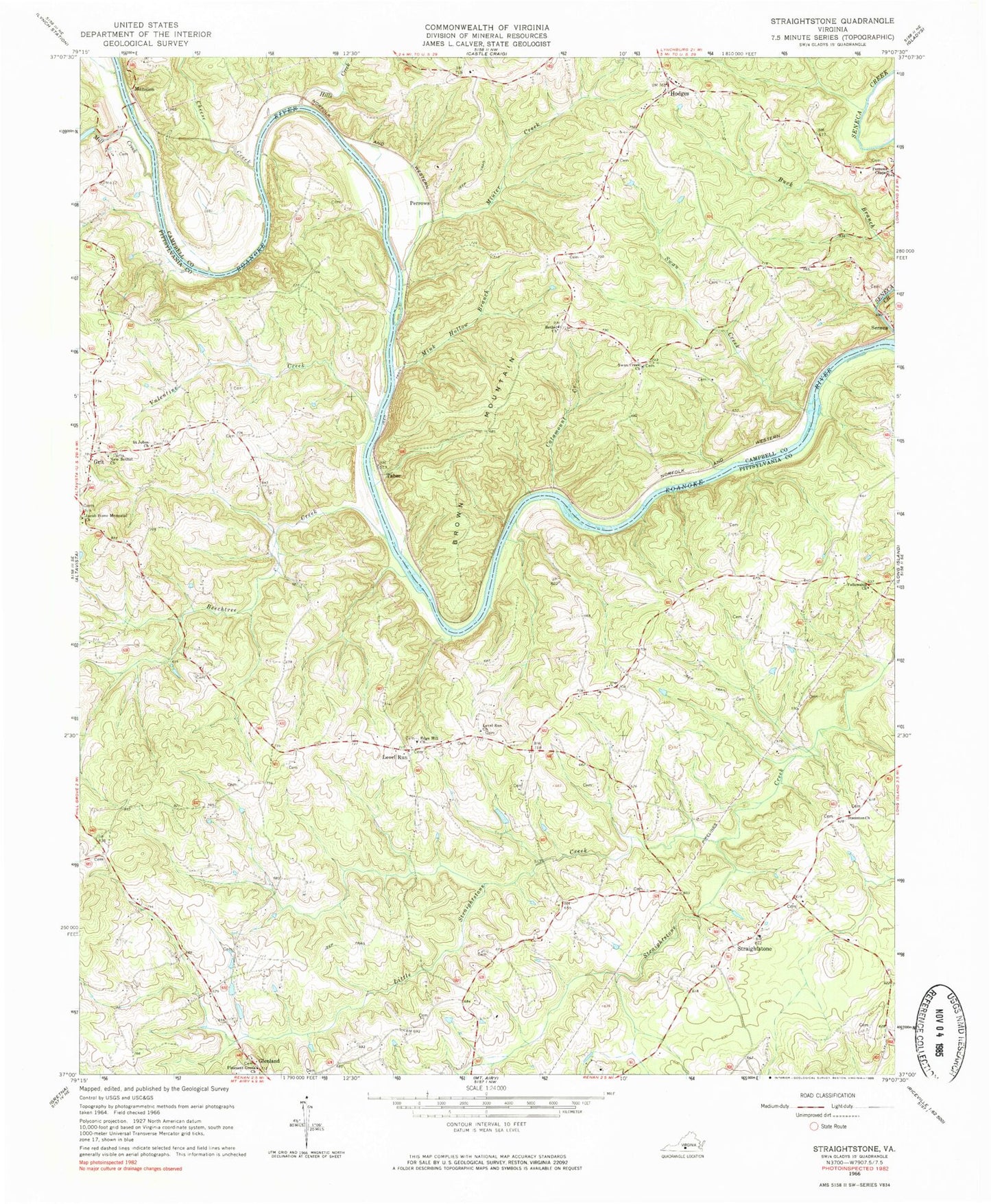
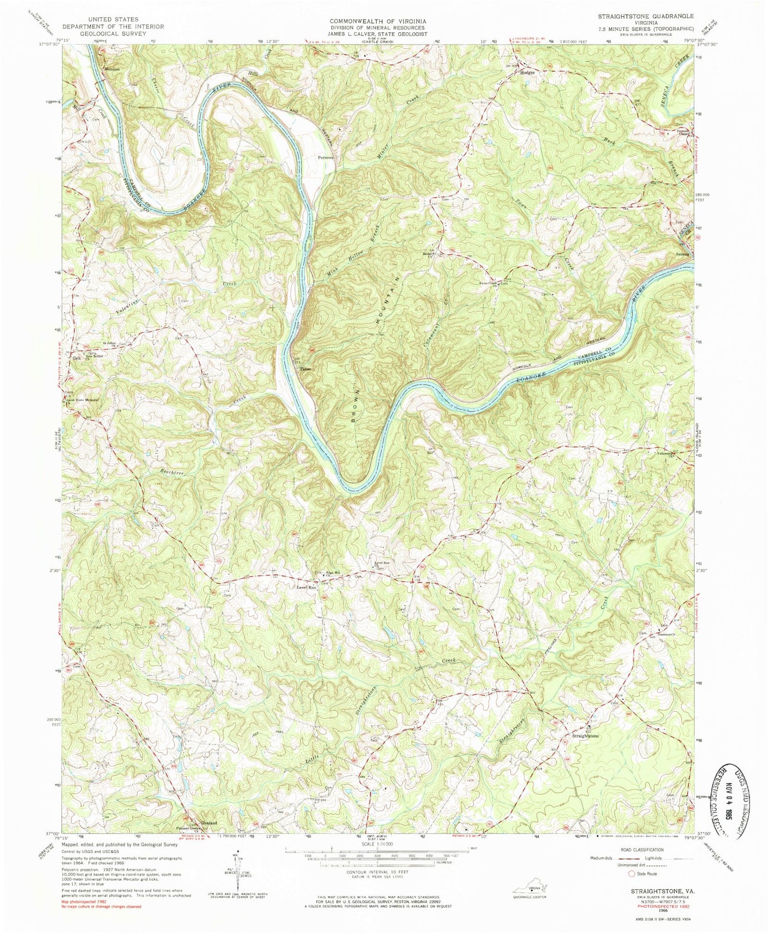
Classic USGS Straightstone Virginia 7.5'x7.5' Topo Map
Couldn't load pickup availability
Historical USGS topographic quad map of Straightstone in the state of Virginia. Map scale may vary for some years, but is generally around 1:24,000. Print size is approximately 24" x 27"
This quadrangle is in the following counties: Campbell, Pittsylvania.
The map contains contour lines, roads, rivers, towns, and lakes. Printed on high-quality waterproof paper with UV fade-resistant inks, and shipped rolled.
Contains the following named places: Beechtree Creek, Bethel Church, Brown Mountain, Catamount Creek, Cedar Forest School, Cheese Creek, Dews Dam, Edge Hill Church, Fellowship Church, Grit, Hill Grove School, Hills Creek, Hodges, Jacob Stone Memorial Church, Level Run, Level Run Church, Level Run School, Little Straightstone Creek, Mansion, Mansion Truss Bridge, Mink Hollow Branch, Minter Creek, New Bethel Church, Perrows, Perrows Chapel, Pleasant Grove Church, Saint Johns Church, Seneca, Staunton Church, Straightstone, Straightstone Baptist Church, Straightstone School, Swan Creek, Swan Creek Church, Taber, Valentine Creek, Waller Farms, Worshams Pasture Ultralight Airport, ZIP Code: 24569


