MyTopo
Classic USGS Stratford Iowa 7.5'x7.5' Topo Map
Couldn't load pickup availability
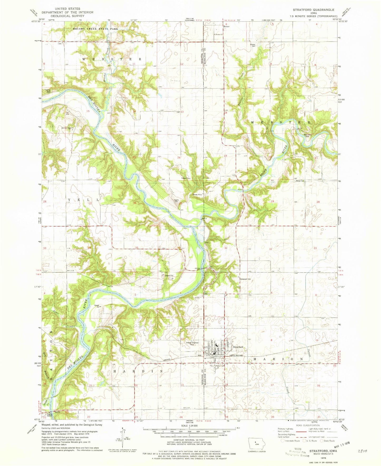
Historical USGS topographic quad map of Stratford in the state of Iowa. Map scale may vary for some years, but is generally around 1:24,000. Print size is approximately 24" x 27"
This quadrangle is in the following counties: Hamilton, Webster.
The map contains contour lines, roads, rivers, towns, and lakes. Printed on high-quality waterproof paper with UV fade-resistant inks, and shipped rolled.
Contains the following named places: Allen Creek, Belleville Post Office, Bells Mill Park, Benjamin Bell Historical Marker, Boone Forks Public Hunting Area, Boone River, Boones Forks Wildlife Management Area, Boonesfork Wildlife Area, Brushy Creek, Calvary United Methodist Church, City of Stratford, Countryside Bible Chapel, Dry Branch, First Baptist Church, Hartman Cemetery, Homer, Homer Cemetery, Homer Church, Homer Post Office, Hook's Point Post Office, Marion City Number Four School, McFarland Clinic, McGuire Bend Cemetery, McGuire Church, McGuire Post Office, Nesse Cemetery, Oakwood Cemetery, Prairie Creek, Skillet Creek, Stratford, Stratford City Hall, Stratford Elementary School, Stratford Fire and Rescue, Stratford Library, Stratford Lutheran Church, Stratford Nursing and Rehabilitation Center, Stratford Post Office, Stratford United Methodist Church, Township of Hardin, Township of Webster, Township of Yell, United Co-op Elevator, Vegors Cemetery, Vintage Iron Antiques Museum, ZIP Code: 50249


