MyTopo
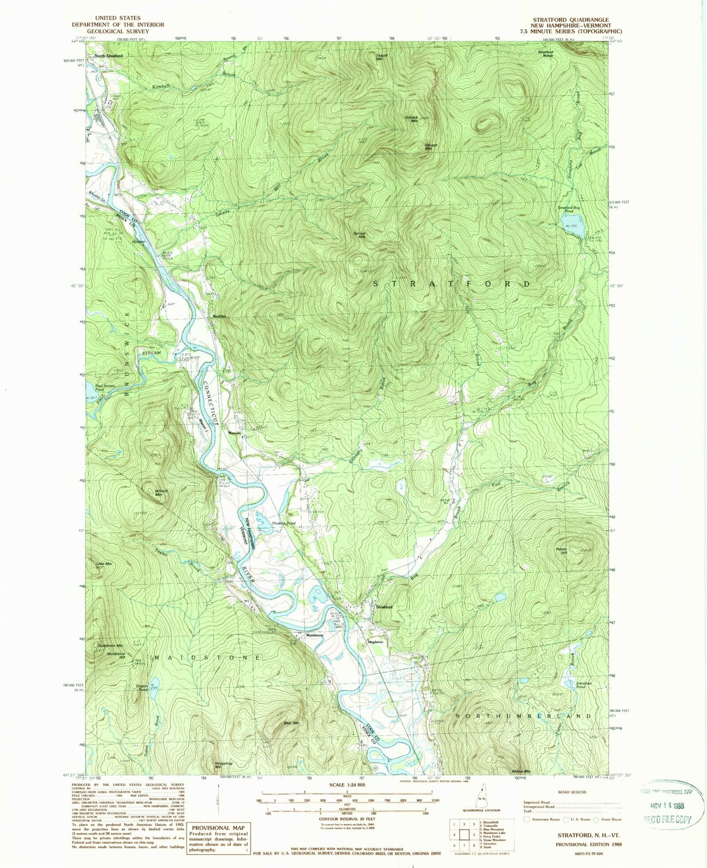
Classic USGS Stratford New Hampshire 7.5'x7.5' Topo Map
Couldn't load pickup availability
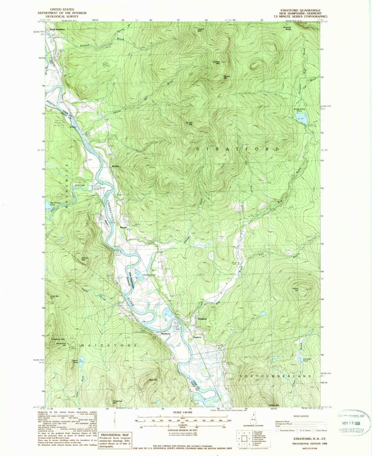
Historical USGS topographic quad map of Stratford in the states of New Hampshire, Vermont. Map scale may vary for some years, but is generally around 1:24,000. Print size is approximately 24" x 27"
This quadrangle is in the following counties: Coos, Essex.
The map contains contour lines, roads, rivers, towns, and lakes. Printed on high-quality waterproof paper with UV fade-resistant inks, and shipped rolled.
Contains the following named places: Bear Mountain, Beatties, Bissell Brook, Bog Brook, Connary Brook, Dutton Pond, East Branch Bog Brook, East Branch Stratford Bog Brook, Gay Brook, Goback Mountain, Hedgehog Mountain, Hinman Island, Hoskins Pond, Jonathan Pond, Kimball Brook, Lake Mountain, Maidstone, Maidstone Hill, Mapleton, Mason Island, Masons, Morse Mountain, Paul Stream, Paul Stream Pond, Potato Hill, Rich Brook, Roaring Brook, Savage Mountain, Smith - Gardner - Shoff Cemetery, Spruce Mountain, Stoneham Mountain, Stratford, Stratford Bog Brook, Stratford Bog Pond, Stratford Bog Pond Dam, Stratford Hollow Fire Department, Stratford Notch, Sugarloaf Brook, Taylor Brook, Taylor Cemetery, Teapot Mountain, Town of Maidstone, Town of Stratford, Wheeler Stream, Willard Mountain


