MyTopo
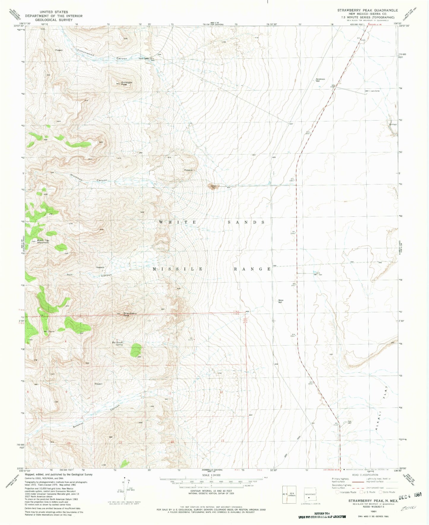
Classic USGS Strawberry Peak New Mexico 7.5'x7.5' Topo Map
Couldn't load pickup availability
Historical USGS topographic quad map of Strawberry Peak in the state of New Mexico. Map scale may vary for some years, but is generally around 1:24,000. Print size is approximately 24" x 27"
This quadrangle is in the following counties: Sierra.
The map contains contour lines, roads, rivers, towns, and lakes. Printed on high-quality waterproof paper with UV fade-resistant inks, and shipped rolled.
Contains the following named places: Ash Canyon, Bat Ranch Spring, Black Top Mountain, Cave Spar, Cottonwood Canyon, Eagle Nest Spring, Governor Group, Gunsight Peak, Harding Deposit, Henderson Well, Independence Mine, L H Makinson, Moore Well, Nelson Well, Quemado Canyon, Strawberry Peak, Sulphur Canyon, Workman Canyon