MyTopo
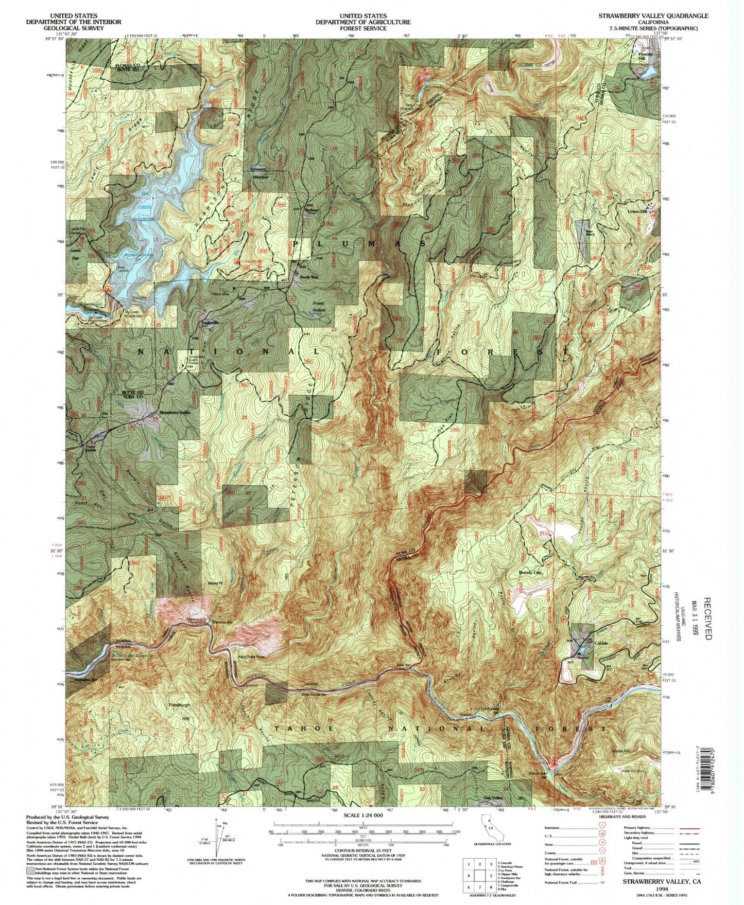
Classic USGS Strawberry Valley California 7.5'x7.5' Topo Map
Couldn't load pickup availability
Historical USGS topographic quad map of Strawberry Valley in the state of California. Map scale may vary for some years, but is generally around 1:24,000. Print size is approximately 24" x 27"
This quadrangle is in the following counties: Butte, Plumas, Sierra, Yuba.
The map contains contour lines, roads, rivers, towns, and lakes. Printed on high-quality waterproof paper with UV fade-resistant inks, and shipped rolled.
Contains the following named places: Alabama Bar, Boyce Ravine, Brandy City, Brandy City Cemetery, Brummel Ravine, Brushy Creek, Buckeye, Buckeye Creek, Cal-Ida, Canyon Creek, Cassidy Ravine, Cherokee Creek, Cut Eye Fosters Bar, Deadwood Creek, Diamond Ravine, Eagleville, Feney Ravine, French Creek, Frosty Hollow, Georgia Gulch, Gold Run, Gophner Ravine, Hampshire Creek, Indian Creek, Indian Hill, Indian Hill Mine, Jackass Creek, Kelly Bar, Kentucky Creek, Lewis Flat, Lewis Flat Campsite, Lewis Ridge, Little Rock Creek, Mississippi Creek, Missouri Creek, Mosquito Creek, North Star, Oak Flat, Onion Creek, Owl Gulch, Palace Mine, Peterson Ridge, Pittsburgh Hill, Poverty Hill, Quayle Ravine, Race Track Point, Rich Gulch, Rock Creek, Rose Ranch, Schwartz Meadow, Scott Ravine, Shenanigan Campground, Shenanigan Flat, Simon Ravine, Slate Creek, Slate Creek Diversion 63-005 Dam, Slate Creek Reservoir, Slate Range Bar, Sly Creek, Sly Creek 63-006 Dam, Sly Creek Campground, Sly Creek Reservoir, Stowman Ravine, Strawberry Campground, Strawberry Guard Station, Strawberry Valley, Strawberry Valley Cemetery, Strawberry Valley Post Office, Travis Saddle, Union Hill, Wambo Bar, Weed Point, Whisky Creek, Youngs Ravine


