MyTopo
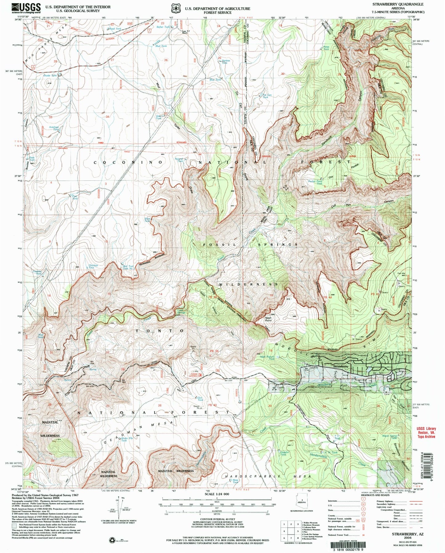
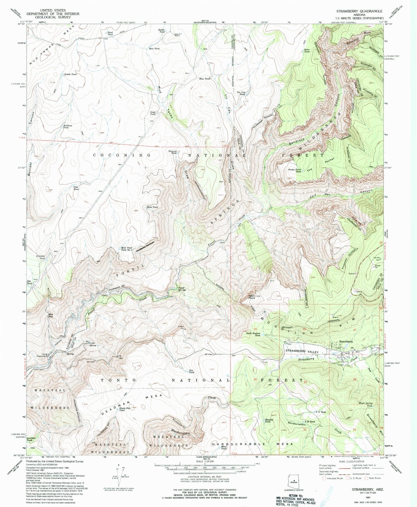
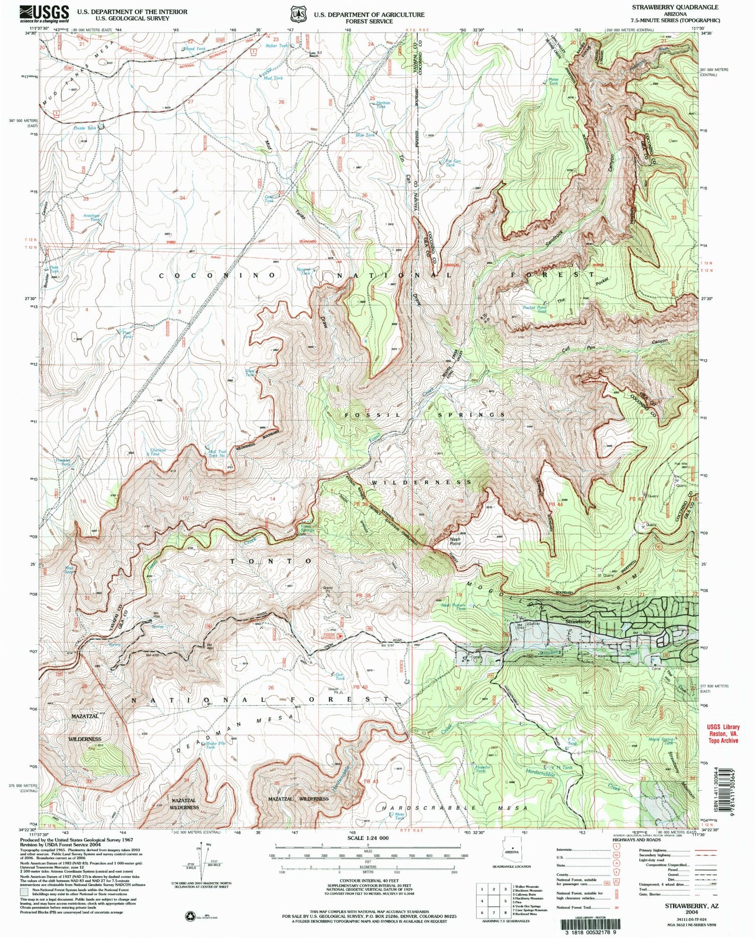
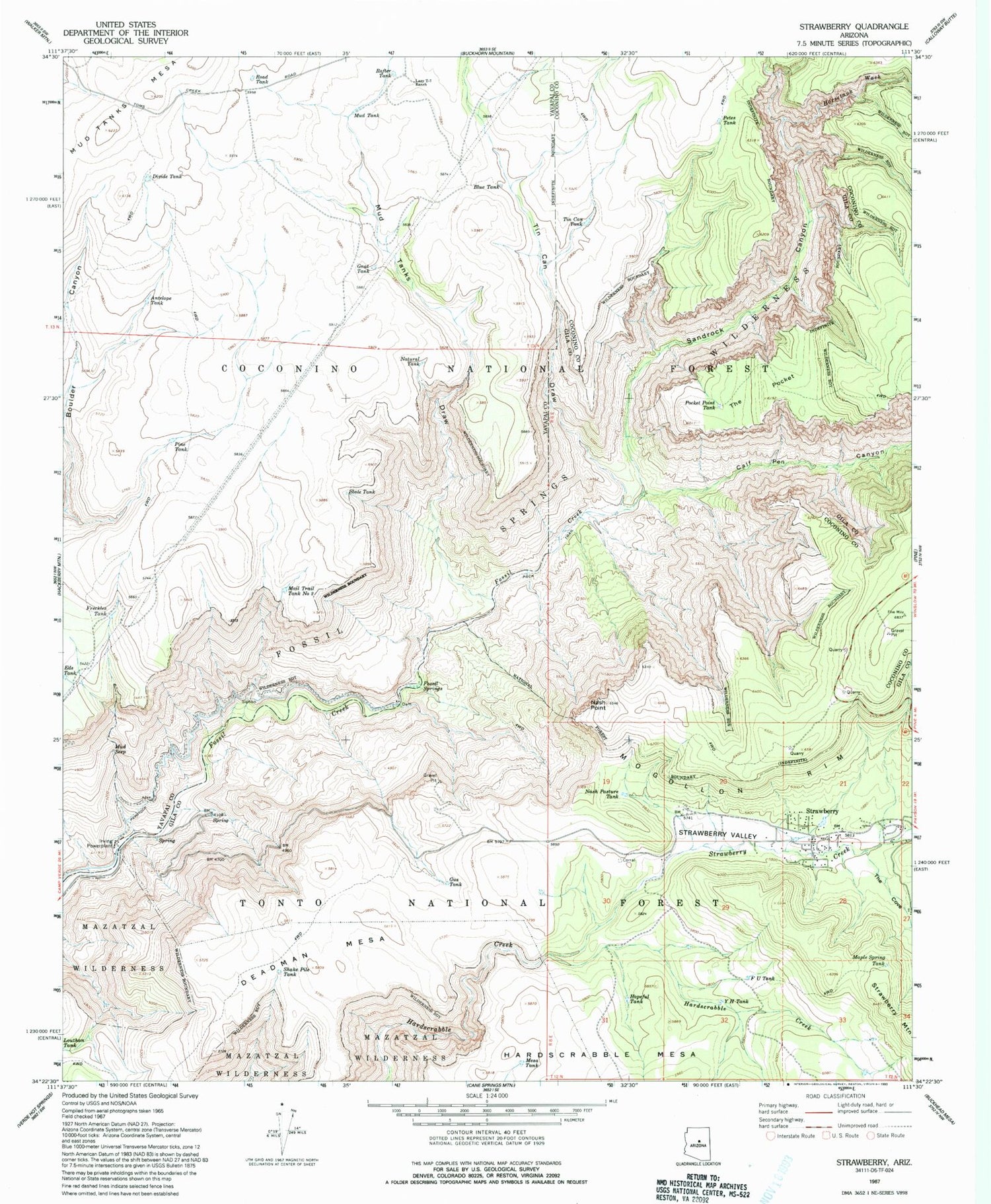
Classic USGS Strawberry Arizona 7.5'x7.5' Topo Map
Couldn't load pickup availability
Historical USGS topographic quad map of Strawberry in the state of Arizona. Typical map scale is 1:24,000, but may vary for certain years, if available. Print size: 24" x 27"
This quadrangle is in the following counties: Coconino, Gila, Yavapai.
The map contains contour lines, roads, rivers, towns, and lakes. Printed on high-quality waterproof paper with UV fade-resistant inks, and shipped rolled.
Contains the following named places: Horsetank Wash, Antelope Tank, Blue Tank, Calf Pen Canyon, Deadman Mesa, Divide Tank, F U Tank, Fossil Springs, Freckles Tank, Gnat Tank, Gus Tank, Hopeful Tank, Irving Powerplant, Lazy T-seven Ranch, Mail Trail Tank Number Two, Maple Spring Tank, Mesa Tank, Mud Seep, Mud Tank, Mud Tanks Draw, Nash Pasture Tank, Nash Point, Natural Tank, Petes Tank, Pine Tank, Pocket Point Tank, Rafter Tank, Road Tank, Sandrock Canyon, Shake Pile Tank, Slate Tank, Strawberry Creek, The Cove, The Pocket, Tin Can Draw, Tin Can Tank, Y H Tank, Blackies Tank, Mogollon Mesa, Mud Number One Tank, Hopeful Tank, Slaughter Tank, Stan Tank, Natural Spring, Oak Tank, Strawberry Valley, KRMM-FM (Payson), KRIM-FM (Payson), Fossil Springs Wilderness, Herbies Tank, Peak Tank, Charleys Tank, Strawberry Census Designated Place, Strawberry Chapel in the Pines, Pine - Strawberry Fire District Station 42


