MyTopo
Classic USGS Strawn West Texas 7.5'x7.5' Topo Map
Regular price
$16.95
Regular price
Sale price
$16.95
Unit price
per
Couldn't load pickup availability
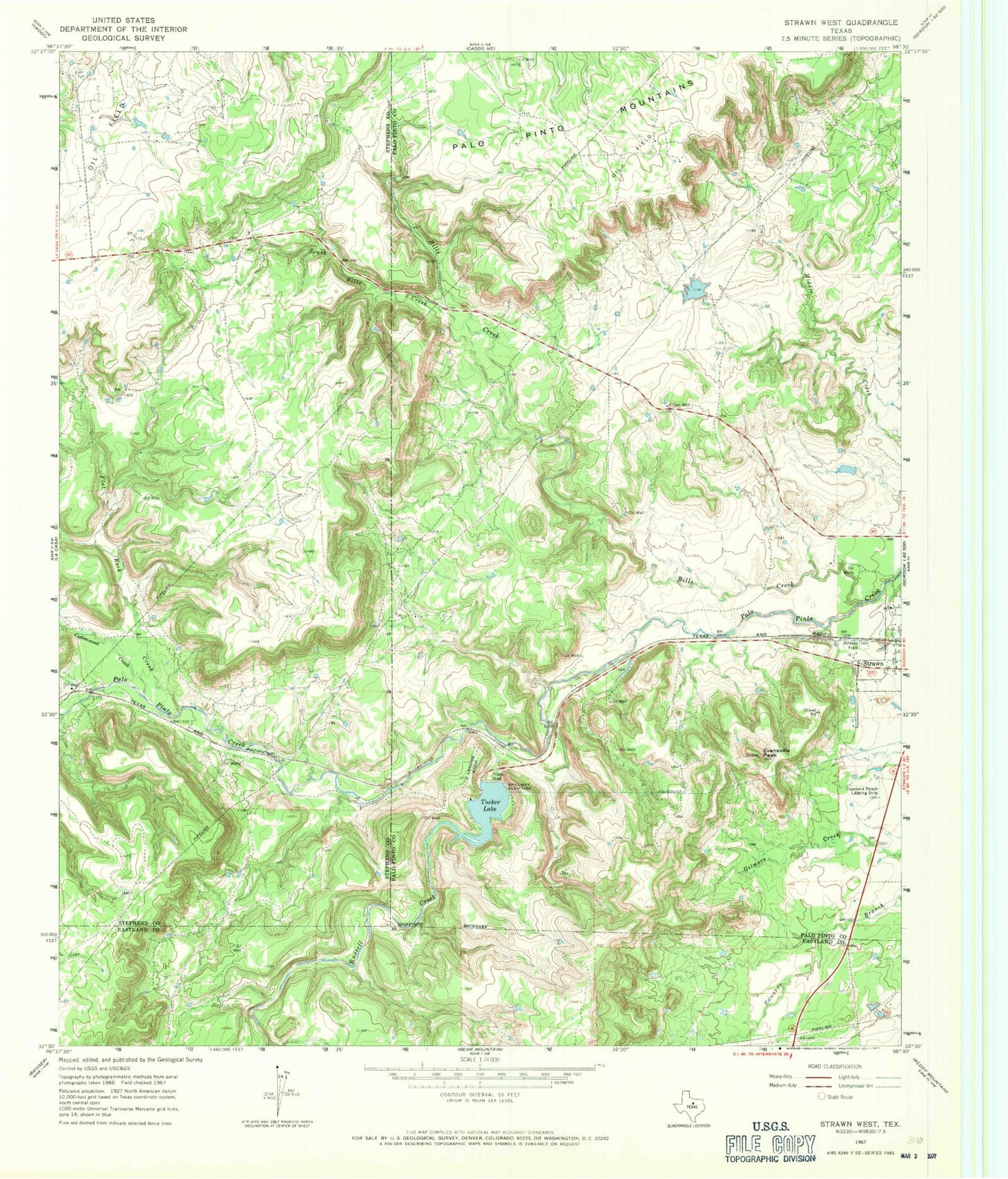
Historical USGS topographic quad map of Strawn West in the state of Texas. Map scale may vary for some years, but is generally around 1:24,000. Print size is approximately 24" x 27"
This quadrangle is in the following counties: Eastland, Palo Pinto, Stephens.
The map contains contour lines, roads, rivers, towns, and lakes. Printed on high-quality waterproof paper with UV fade-resistant inks, and shipped rolled.
Contains the following named places: Bills Creek, Cottonwood Creek, Double Gates Lake, Double Gates Lake Dam, Evensville Peak, Flat Rock Creek, Greyhound Stadium, Henslee Lake Number 3, Henslee Lake Number 3 Dam, Lake Tucker Dam, Russell Creek, South Bills Creek, Tucker Lake