MyTopo
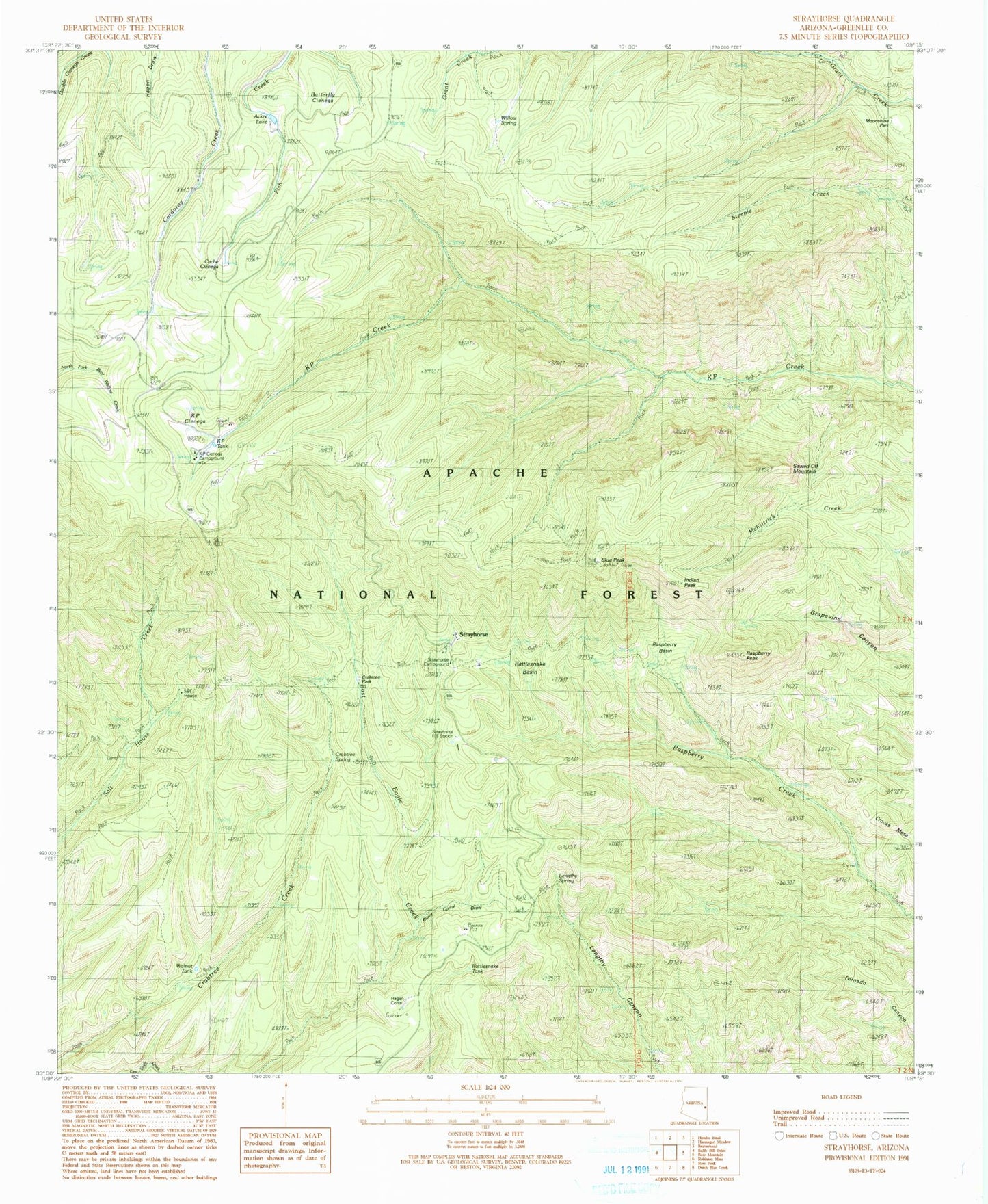
Classic USGS Strayhorse Arizona 7.5'x7.5' Topo Map
Couldn't load pickup availability
Historical USGS topographic quad map of Strayhorse in the state of Arizona. Typical map scale is 1:24,000, but may vary for certain years, if available. Print size: 24" x 27"
This quadrangle is in the following counties: Greenlee.
The map contains contour lines, roads, rivers, towns, and lakes. Printed on high-quality waterproof paper with UV fade-resistant inks, and shipped rolled.
Contains the following named places: Blue Lookout, Crabtree Spring, Lengthy Spring, Strayhorse Administative Site, Burnt Corral Draw, Butterfly Cienega, Cache Cienega, Crabtree Park, Crooks Mesa, Indian Peak, KP Cienega, Moonshine Park, Raspberry Basin, Raspberry Peak, Rattlesnake Basin, Salt House, Sawed Off Mountain, Strayhorse, Willow Spring, Aker Lake, Blue Peak, Crabtree Trail Twenty-two, KP Cienega Campground, K P Tank, KP Trail Seventy, Lengthy Canyon Trail Eighty-nine, Raspberry Trail Thirty-five, Rattlesnake Lake, Rattlesnake Tank, Salt House Eighteen Trail, Stray Horse Campground, Walnut Spring, Walnut Tank, Hagen Corral, Lengthy Spring, Strayhorse Forest Service Facility, Arizona Highway Department Maintance Yard, Crabtree Spring, Blue Peak Lookout, Salt House Corral, Hidden Tank, Blue Vista Scenic Overlook, Walnut Spring, Rattlesnake Basin Cabin


