MyTopo
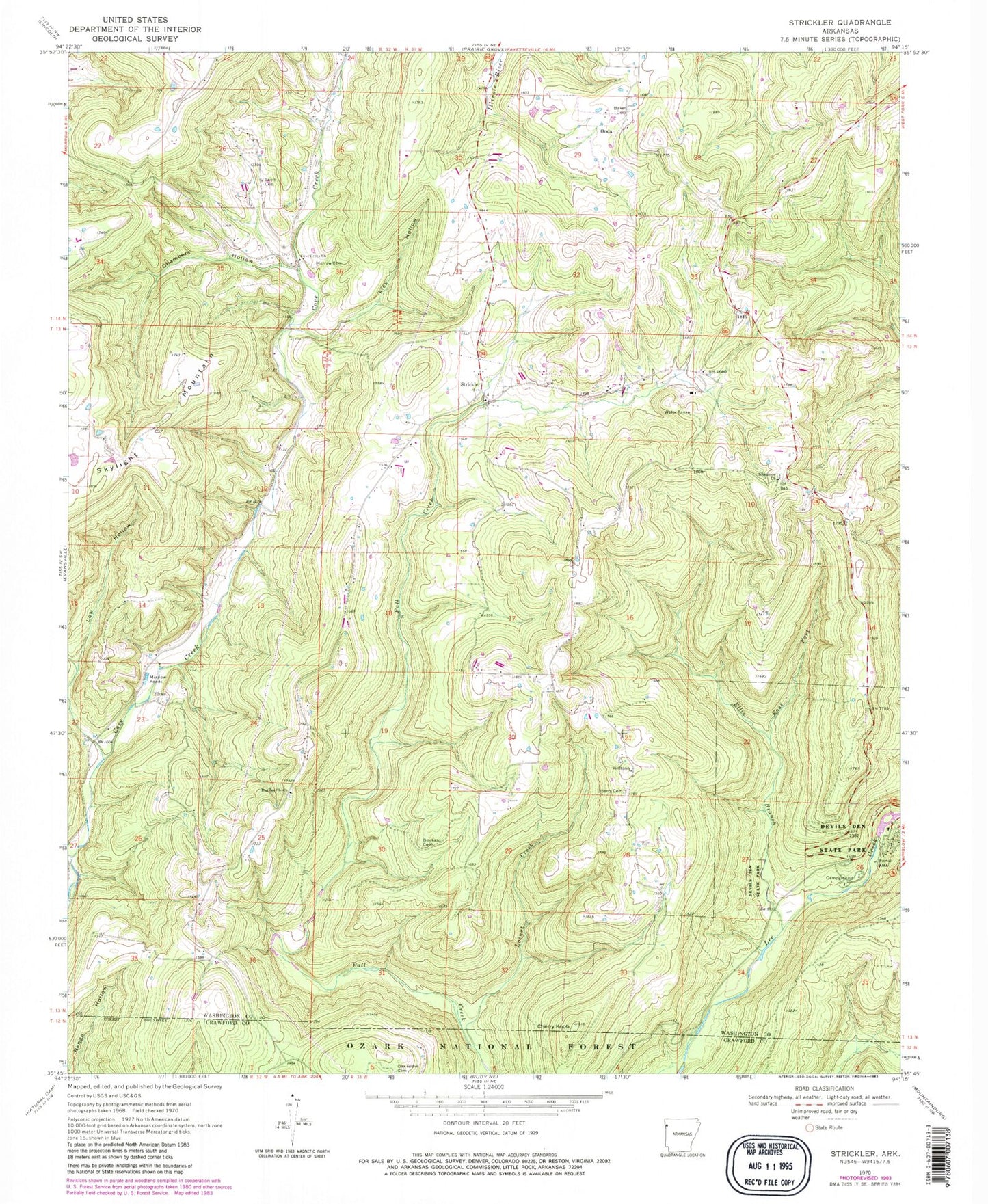
Classic USGS Strickler Arkansas 7.5'x7.5' Topo Map
Couldn't load pickup availability
Historical USGS topographic quad map of Strickler in the state of Arkansas. Typical map scale is 1:24,000, but may vary for certain years, if available. Print size: 24" x 27"
This quadrangle is in the following counties: Crawford, Washington.
The map contains contour lines, roads, rivers, towns, and lakes. Printed on high-quality waterproof paper with UV fade-resistant inks, and shipped rolled.
Contains the following named places: Fall Creek School (historical), Garrett Hollow Creek, Wickwire School (historical), Township of Cove Creek, Baker Cemetery, Bug Scuffle Church, Chambers Hollow, Cherry Knob, Cove Creek Church, Devils Den State Park, Dunkard Cemetery, East Fork Ellis Branch, Eighty Six Church, Ellis Branch, Floss, Liberty Cemetery, Lick Hollow, Locust Creek, Low Hollow, Morrow Cemetery, Oak Grove Cemetery, Onda, Scott Cemetery, Zinnamon Church, Strickler, Strickler Post Office (historical), Strickler Volunteer Fire Department, Devils Den Natural Bridge


