MyTopo
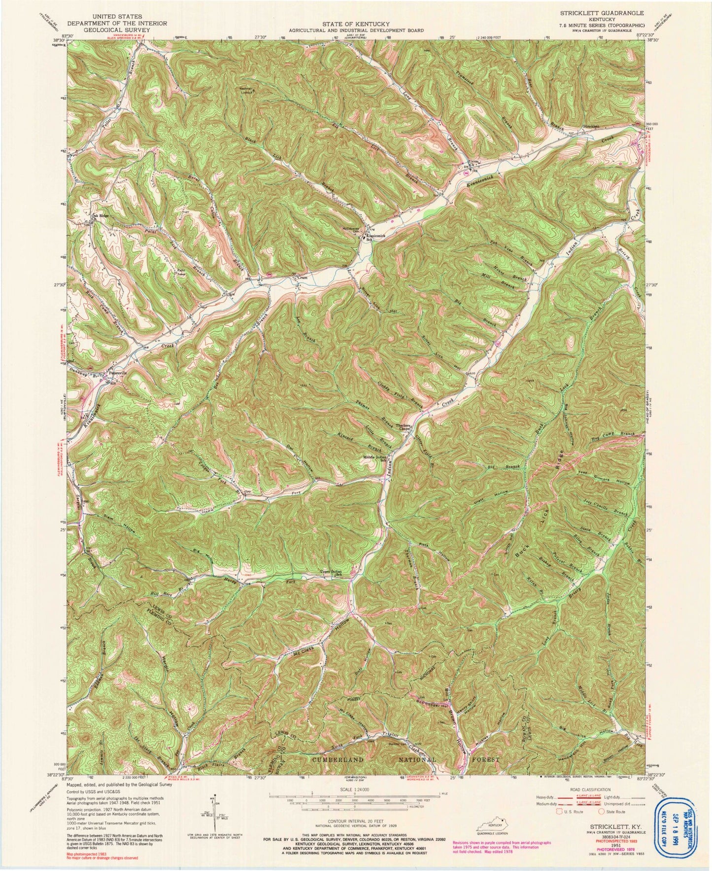
Classic USGS Stricklett Kentucky 7.5'x7.5' Topo Map
Couldn't load pickup availability
Historical USGS topographic quad map of Stricklett in the state of Kentucky. Map scale may vary for some years, but is generally around 1:24,000. Print size is approximately 24" x 27"
This quadrangle is in the following counties: Fleming, Lewis, Rowan.
The map contains contour lines, roads, rivers, towns, and lakes. Printed on high-quality waterproof paper with UV fade-resistant inks, and shipped rolled.
Contains the following named places: Bear Branch, Bee Branch, Big Branch, Big Hollow, Big Johnson Hollow, Big Lick Hollow, Bill Rice Branch, Bishop Branch, Black Lick Branch, Black Stairs Branch, Bob Cooper Hollow, Bobbie Branch, Briery Creek, Brown Cemetery Three, Brown Hollow, Buck Lick Branch, Buck Lick Ridge, Buckner Cemetery, Burnt Cabin Branch, Cloddy Field Branch, Clover Field Branch, Cooper Fork Branch, Crum, Crum Post Office, Duff Hollow, Dunaway Branch, Elk Lick Branch, Hardin Hollow, Hardy Fork, Henderson Cemetery, Henderson Hollow, Henry Short Hollow, Hog Camp Branch, House Branch, Jess Canille Branch, Jordan Branch, Kilan Branch, Kincaid Branch, Kinniconick School, Kinniconick Volunteer Fire Department, Laurel-Petersville Division, Lee Branch, Little Branch, Long Branch, McCless Hollow, McEldowney Cemetery, Middle Indian School, Middle Lick Branch, Mill Branch, Nickles Hollow, Noah Post Office, Oak Ridge, Oak Ridge Church, Oil Well Hollow, Owl Hollow, Paint Lick Branch, Pea Vine Branch, Petersville, Petersville Post Office, Pitts Hollow, Polecat Branch, Reed School, Riley Branch, Road Fork Hollow, Rock Camp Branch, Sheltowee Trailhead Parking, Siam Hollow, Silver Lick Hollow, Smith Hollow, Stamm Fork, Stein Branch, Stricklett, Thackers Chapel, The Black Stairs, Thomas Branch, Thomson Landing, Thurman Branch, Troy Gilmore Hollow, Trumstock Branch, Ulett Hollow, Union Church, Upper Indian Creek, Upper Indian School, Washman Lookout, Williams Cemetery Two


