MyTopo
Classic USGS Stringtown Mississippi 7.5'x7.5' Topo Map
Couldn't load pickup availability
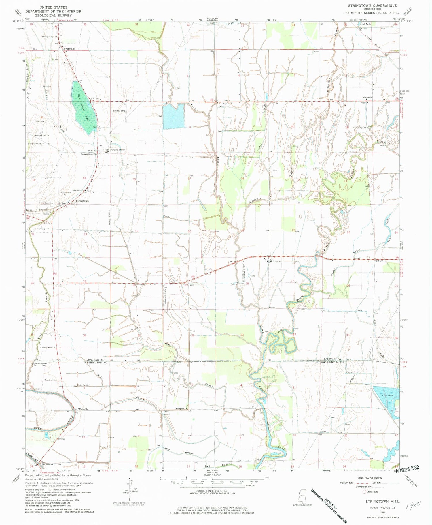
Historical USGS topographic quad map of Stringtown in the state of Mississippi. Map scale may vary for some years, but is generally around 1:24,000. Print size is approximately 24" x 27"
This quadrangle is in the following counties: Bolivar, Washington.
The map contains contour lines, roads, rivers, towns, and lakes. Printed on high-quality waterproof paper with UV fade-resistant inks, and shipped rolled.
Contains the following named places: Asia Cemetery, Asia Plantation, Bear Lake, Bee Bayou, Browns Bayou, Dickerson Cemetery, Ditch Number B-2, Ditch Number C-1, Ditch Number C-3, Ditch Number C-4, East Branch Deer Creek, Evergreen Church, Fallback Plantation, Forkland Cemetery, Grapeland, James Maxwell Lake Dam, Jordan Bayou, Kindling Altar Church, Little Steele Bayou, Macedonia Church, Meltonia, Mike Litton Catfish Ponds Dam, Mount Cazy Cemetery, Mount Gazy Church, Mrs Vaught Catfish Ponds Dam, Pilgrims Refuge Church, Pilgrims Rest Church, Pistol Slough, Pleasant Grove Church, Priscilla, Rock of Ages Church, Rossin Bayou, Saint Peters Church, Saw Grass Lake, Snake Bayou, Stillwater Bayou, Strangers Rest Church, Stringtown, Verl Fuller Catfish Ponds Dam, Zion Field Church


