MyTopo
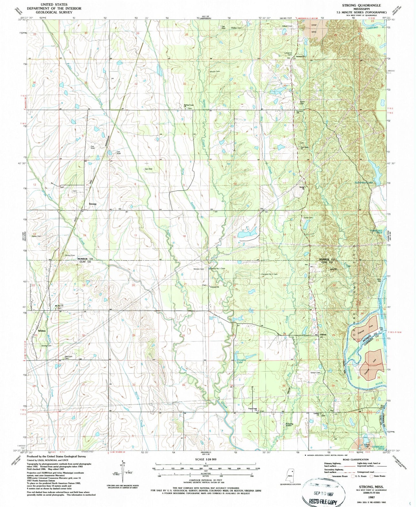
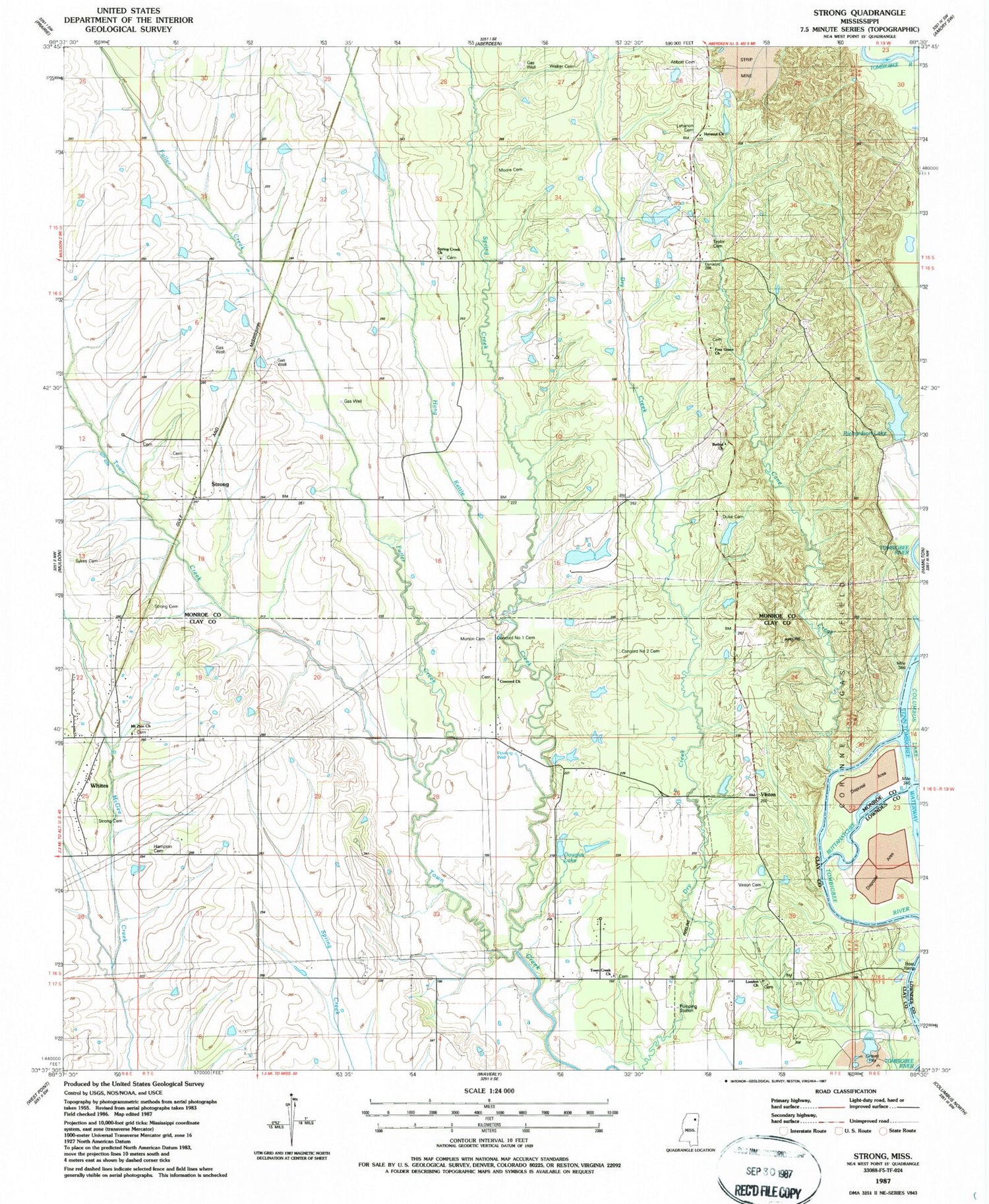
Classic USGS Strong Mississippi 7.5'x7.5' Topo Map
Couldn't load pickup availability
Historical USGS topographic quad map of Strong in the state of Mississippi. Map scale may vary for some years, but is generally around 1:24,000. Print size is approximately 24" x 27"
This quadrangle is in the following counties: Clay, Lowndes, Monroe.
The map contains contour lines, roads, rivers, towns, and lakes. Printed on high-quality waterproof paper with UV fade-resistant inks, and shipped rolled.
Contains the following named places: Abbott Cemetery, Andrews School, Barton, Barton Ferry Marina, Barton Ferry Recreation Area, Bethel Baptist Church, Blocks Bluff, Boatyard Bluff, Buttahatchee River, Cane Creek, Carpenters Landing, Carver Branch, Clay County Volunteer Fire Department Unit 100 Northeast, Colbert, Colbert Male and Female Academy, Colberts Ford, Concord Baptist Church, Concord Cemetery, Concord Number 1 Church, Concord Number 2 Cemetery, Concord Number 2 Church, Concord Number One Cemetery, Corrine, Dabbs Lake Dam, Darracott, Darracott High School, Douglas Lake, Duke Cemetery, Free Grace Church, Fuller Creek, Hampton Cemetery, Hang Kettle Creek, Herman Presbyterian Church, Lebanon Cemetery, Lebanon Church, Lebanon School, London Church, Moore Cemetery, Morton Cemetery, Mount Zion Church, Old Darracott School, Paine Chapel School, Poe Field, Prairie Volunteer Fire Department Station 2, Richardson Lake, Richardson Lake Dam, Sandy Clay School, Shaw Lake, Spring Creek, Spring Creek Church, Spring Creek School, Strong, Strong Cemetery, Supervisor District 1, Sweet Pilgrim Church, Taylor Cemetery, Taylors Inn, The Flatwoods, Town Creek Missionary Baptist Church, Vinton, Vinton Cemetery, Vinton Ferry, Walker Cemetery, Whites, Williams School


