MyTopo
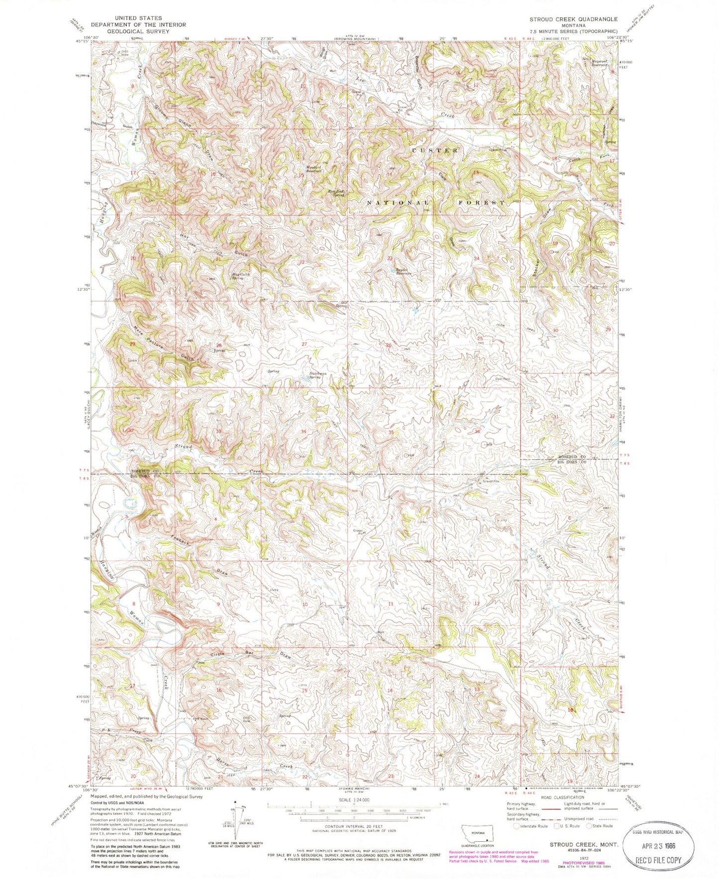
Classic USGS Stroud Creek Montana 7.5'x7.5' Topo Map
Couldn't load pickup availability
Historical USGS topographic quad map of Stroud Creek in the state of Montana. Map scale may vary for some years, but is generally around 1:24,000. Print size is approximately 24" x 27"
This quadrangle is in the following counties: Big Horn, Rosebud.
The map contains contour lines, roads, rivers, towns, and lakes. Printed on high-quality waterproof paper with UV fade-resistant inks, and shipped rolled.
Contains the following named places: 07S43E08ABBB01 Well, 07S43E10DBCD01 Well, 08S43E05CBAC01 Well, 08S43E09ADCC01 Well, 08S43E10BCAC01 Well, 08S43E11CDBD01 Well, 08S43E13ACCA01 Well, 08S43E13BDBC01 Spring, 08S43E14BCCA01 Well, 08S43E14BCCA02 Well, 08S43E15CCAA01 Spring, 08S43E16CCDA01 Well, 08S43E16CDBD01 Spring, 08S43E17DDCA01 Well, 08S43E17DDDC01 Well, 08S43E20CBBA01 Spring, 08S43E21BBDA01 Well, 08S43E21BBDD01 Well, 08S43E21BBDD02 Well, 08S43E21BBDD03 Well, 08S43E21BCAA01 Well, 08S43E21BDBB01 Well, 08S43E21BDBB02 Well, 08S43E22CBAA01 Spring, 08S44E06CBAC01 Well, 08S44E07ABBC01 Spring, 08S44E07BBBB01 Well, 08S44E18BCCC01 Well, 08S44E18BDCC01 Well, Brewster Gulch, Circle Bar Draw, Clark Draw, Dutchman Spring, Feeback Draw, Gloomy Glenn Draw, Hay Gulch, Hay Gulch Spring, Haywood Gulch, Haywood Reservoir, Hertzler Draw, Horse Creek, Mare Pasture Gulch, North Fork Lee Creek, OW Ranch, P K Creek, Rim Rock Spring, Rough Draw, Snyder Reservoir, South Fork Lee Creek, Stocker Draw, Stroud Creek, Woodard Reservoir, Wrench Creek


