MyTopo
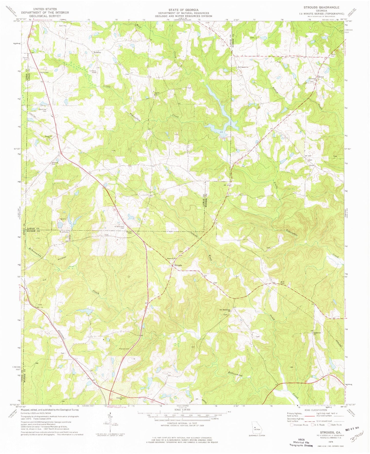
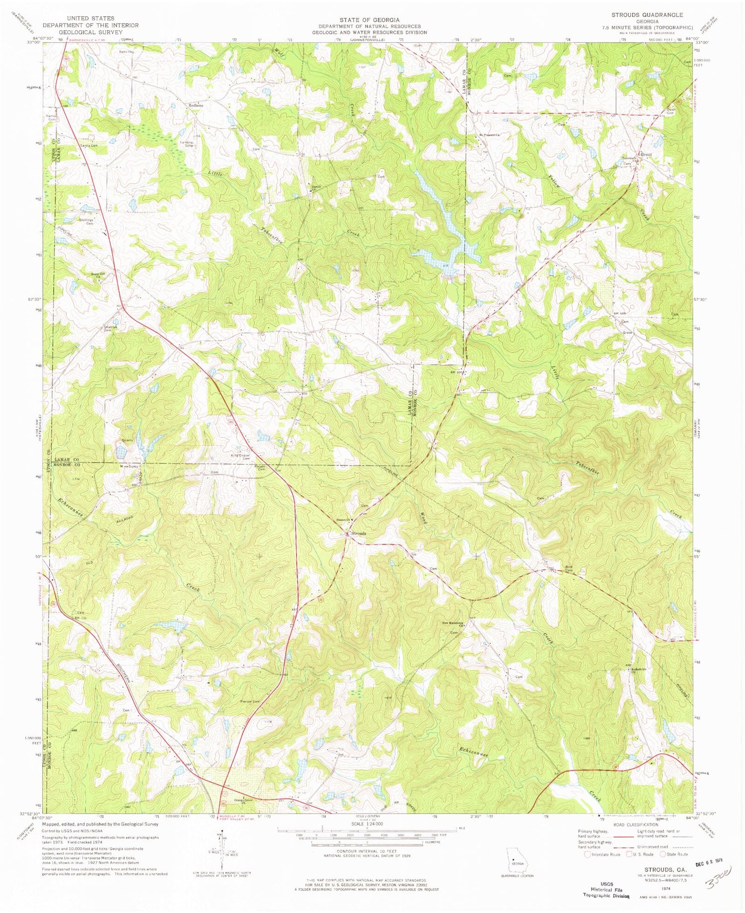
Classic USGS Strouds Georgia 7.5'x7.5' Topo Map
Couldn't load pickup availability
Historical USGS topographic quad map of Strouds in the state of Georgia. Map scale may vary for some years, but is generally around 1:24,000. Print size is approximately 24" x 27"
This quadrangle is in the following counties: Lamar, Monroe, Upson.
The map contains contour lines, roads, rivers, towns, and lakes. Printed on high-quality waterproof paper with UV fade-resistant inks, and shipped rolled.
Contains the following named places: Abercrombie Lake, Abercrombie Lake Dam, Bird Cemetery, Brent, Brent Cemetery, Harris Cemetery, Horns Crossroads, King Chapel Cemetery, Kings Chapel Methodist Church, Lamar County Fire Department and Rescue Station 2 Redbone, Little Tobesofkee Creek Ranch Airport, Mangham Lake, Mangham Lake Dam, Monroe County Fire Department Station 8, Mount Pleasant Church, Mountain Branch, New Macedonia Church, Orange Grove Church, Owen Cemetery, Parker Chapel School, Parkers Chapel African Methodist Episcopal Church, Person Cemetery, Pierson Cemetery, Pierson Lake, Pierson Lake Dam, Pippin Lake, Pippin Lake Dam, Pringle Cemetery, Ramah Church, Ramah Church Cemetery, Redbone, Russellville Church, Russellville School, Sardis Cemetery, Sardis Church, Sardis School, Sharon Church, Shattles Cemetery, Sheran - Horne - Smith Cemetery, Stallings Cemetery, Strouds, Sugar Hill Church, Sugar Hill School, Tabernacle Church, Tobesofkee Creek Structure Number 70, Tobesofkee Creek Structure Number 70 Dam, Wolf Creek, Wood Creek


