MyTopo
Classic USGS Stuart Island Washington 7.5'x7.5' Topo Map
Couldn't load pickup availability
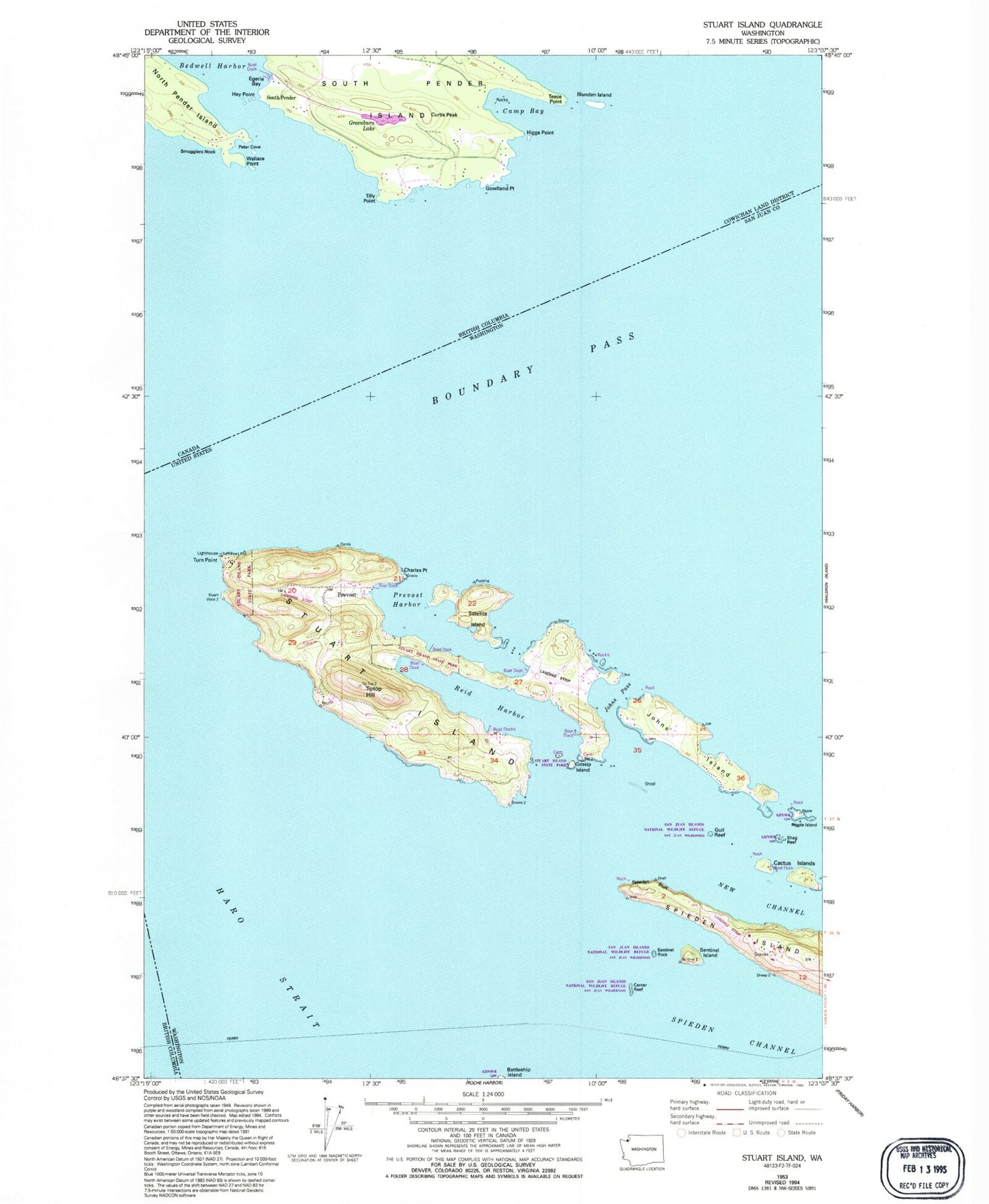
Historical USGS topographic quad map of Stuart Island in the state of Washington. Map scale may vary for some years, but is generally around 1:24,000. Print size is approximately 24" x 27"
This quadrangle is in the following counties: San Juan.
The map contains contour lines, roads, rivers, towns, and lakes. Printed on high-quality waterproof paper with UV fade-resistant inks, and shipped rolled.
Contains the following named places: Cactus Island, Cactus Islands, Cemetery Island, Center Reef, Charles Point, Danger Shoal, Gossip Island, Gossip Islands, Gull Reef, Johns Island, Johns Pass, Lofgren Mountain, Lundberg Mountain, Mount Stuart, New Channel, Prevost, Prevost Harbor, Reef Bay, Reid Harbor, Ripple Island, Satellite Island, Sentinel Island, Sentinel Rock, Spieden Bluff, Spieden Channel, Spieden Island, Spieden Island Airstrip, Stuart Island, Stuart Island Airpark, Stuart Island Cemetery, Stuart Island Elementary School, Stuart Island State Park, Stuart Island West Airport, Tiptop Hill, Turn Point, Turn Point Lighthouse