MyTopo
Classic USGS Stuart SE Virginia 7.5'x7.5' Topo Map
Couldn't load pickup availability
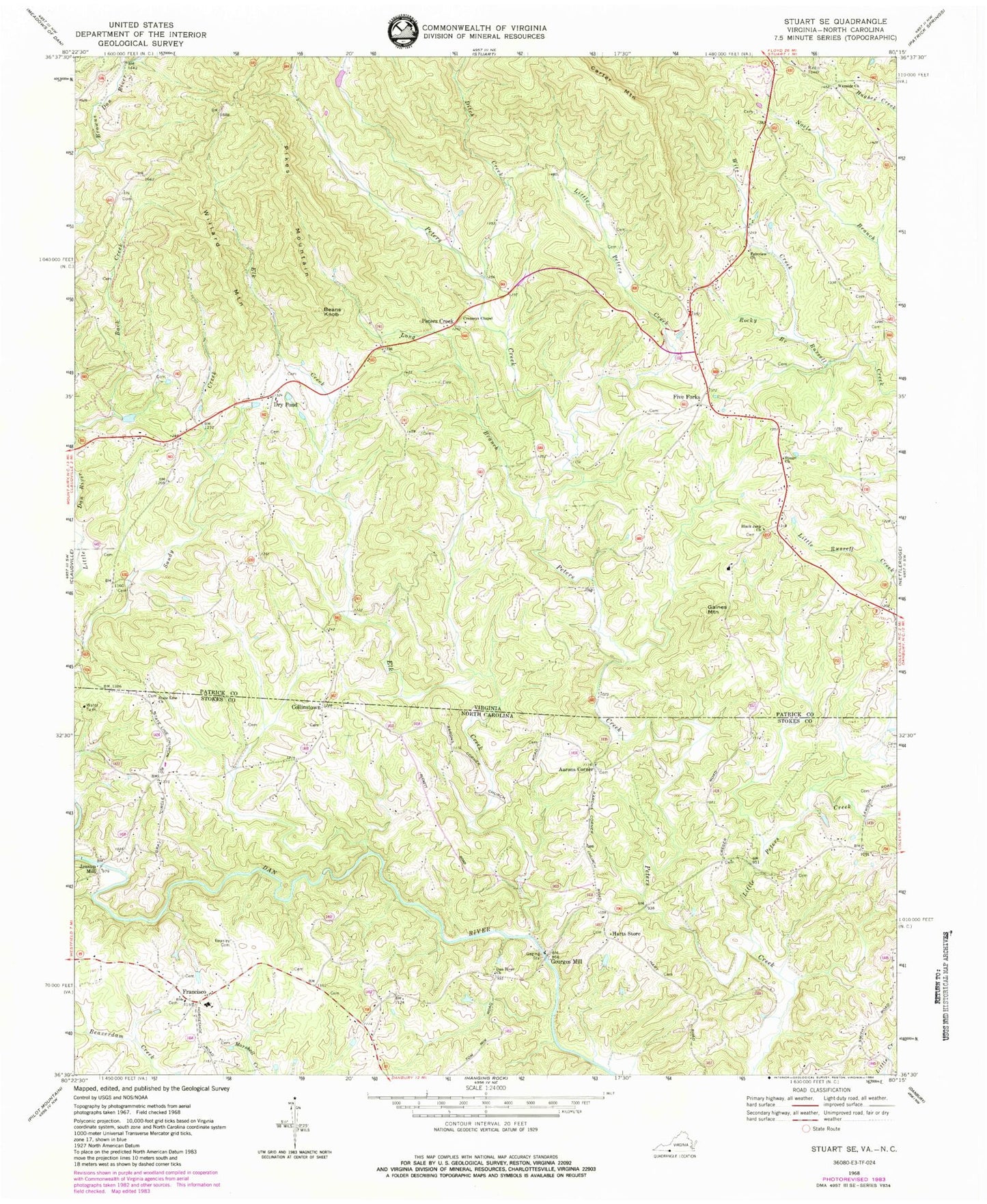
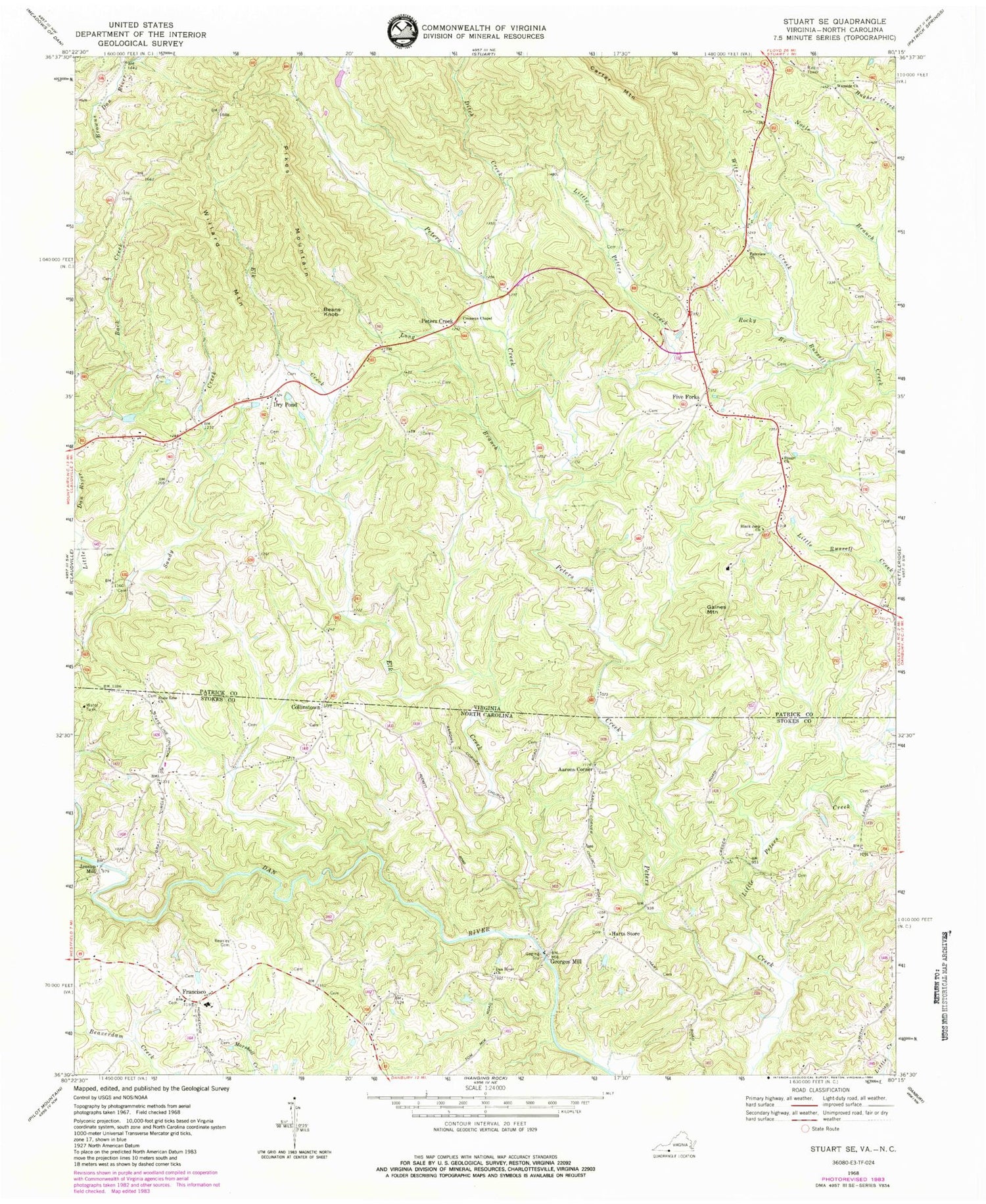
Historical USGS topographic quad map of Stuart SE in the states of Virginia, North Carolina. Map scale may vary for some years, but is generally around 1:24,000. Print size is approximately 24" x 27"
This quadrangle is in the following counties: Patrick, Stokes.
The map contains contour lines, roads, rivers, towns, and lakes. Printed on high-quality waterproof paper with UV fade-resistant inks, and shipped rolled.
Contains the following named places: 704 Bridge/Hart Site, Aaron Church, Aarons Corner, Beans Knob, Beasley Cemetery, Black Jack Church, Black Jack School, Byrds Marker, Collinstown, Collinstown - Claudville - Drypond - Five Forks Volunteer Fire and Rescue Department Station 1, Collinstown Presbyterian Church, Collinstown School, Creaseys Chapel, Creaseys Chapel Cemetery, Dan River Presbyterian Church, Ditch Creek, Dry Pond, Elk Creek, Fairview Church, Five Forks, Five Forks School, Francisco, Francisco Elementary School, Francisco Presbyterian Church, Francisco Volunteer Fire Department, Gaines Mountain, Georges Mill, Grays School, Harts Store, Heavenly Acres Airport, Jessup Mill, Little Peters Creek, Long Branch, Patrick County High School, Peters Creek, Peters Creek District, Pikes Mountain, Rocky Branch, Sandy Creek, State Line Primitive Baptist Church, Stuart Church, Township of Big Creek, Wayside Cemetery, Wayside Church, Wayside School, WHEO-AM (Stuart), Willard Mountain, Witt Creek


