MyTopo
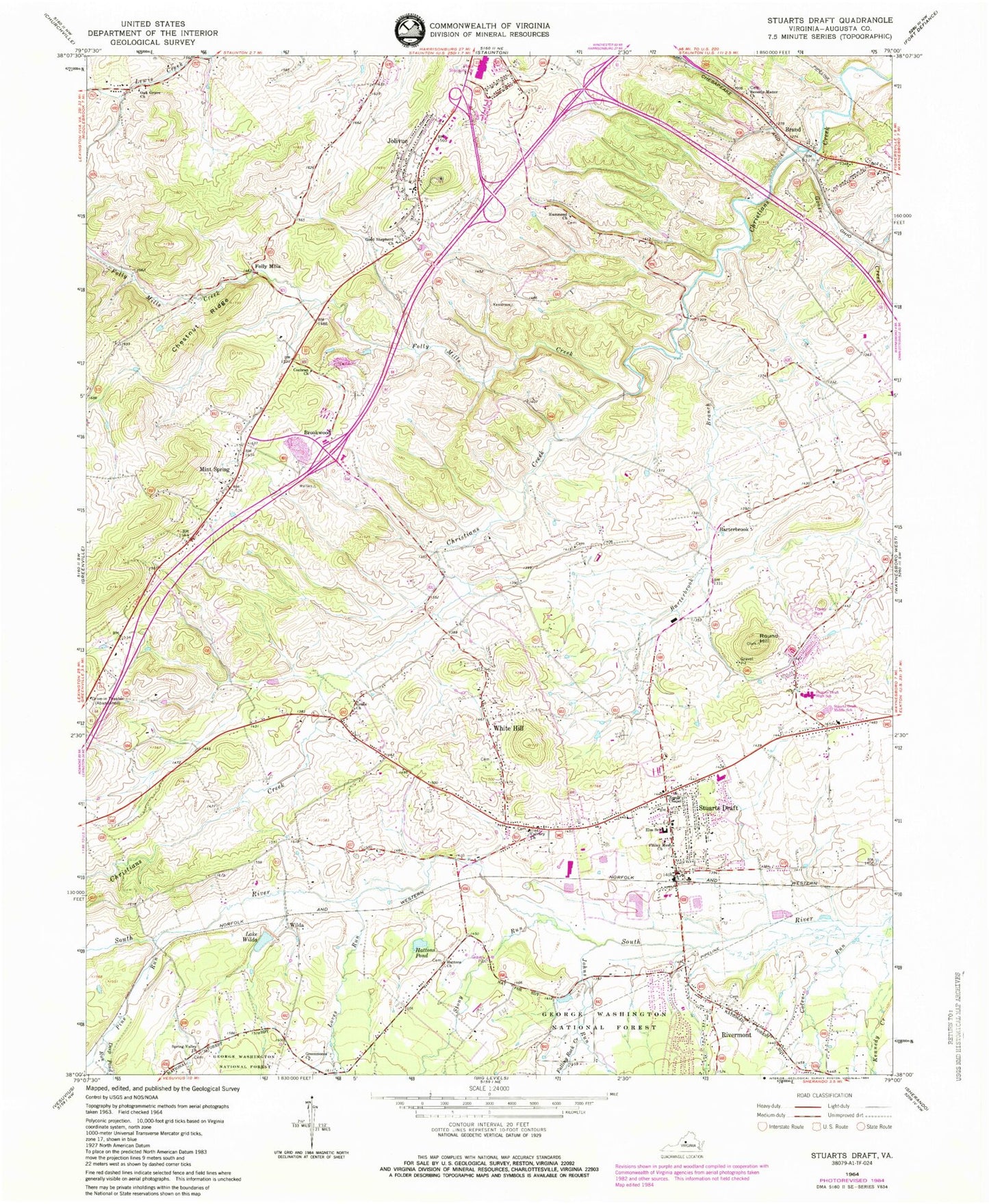
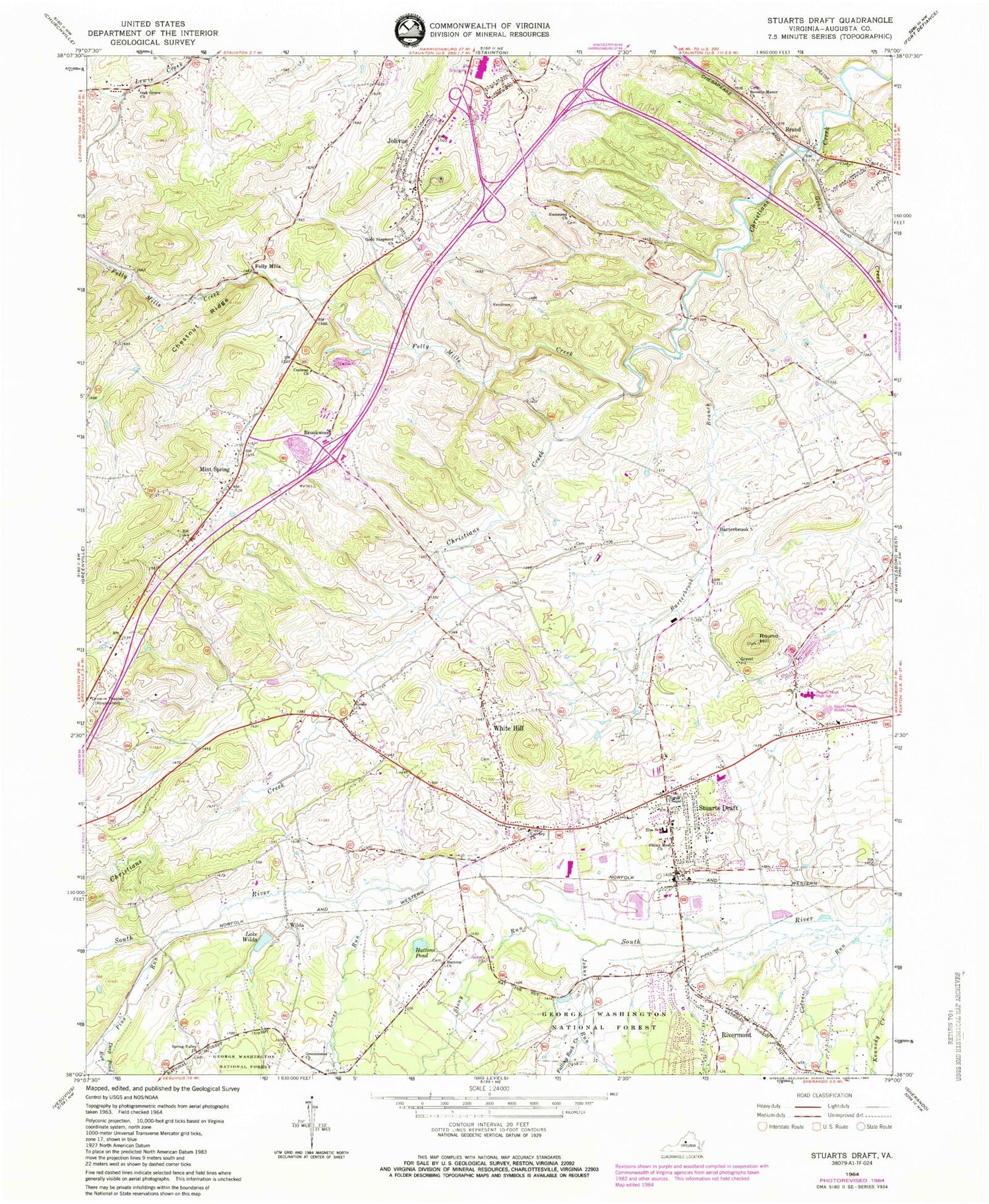
Classic USGS Stuarts Draft Virginia 7.5'x7.5' Topo Map
Couldn't load pickup availability
Historical USGS topographic quad map of Stuarts Draft in the state of Virginia. Map scale may vary for some years, but is generally around 1:24,000. Print size is approximately 24" x 27"
This quadrangle is in the following counties: Augusta, Staunton (city).
The map contains contour lines, roads, rivers, towns, and lakes. Printed on high-quality waterproof paper with UV fade-resistant inks, and shipped rolled.
Contains the following named places: Avis, Barterbrook, Barterbrook Branch, Beverly Manor Church, Brand, Broadmoor Plaza Shopping Center, Brookwood, Calvary Church, Castles Chapel, Chestnut Ridge, Cochran Church, Coles Run, Deep Pond Run, Falling Rock Creek, Finley Memorial Church, Folly Mills, Folly Mills Creek, Good Shepherd Church, Goose Creek, Grace Church, Greenmonte Church, Guy K Stump Elementary School, Hammond Church, Hattons Church, Hattons Pond, Johns Run, Jolivue, Jolivue Census Designated Place, Lake Wilda, Loves Run, Mint Spring, Mint Spring Post Office, Mint Spring United Methodist Church, Oak Grove Church, Pilgrim Christian School, Pine Run, Reeds Chapel, Rivermont, Round Hill, Schneider Community Park, Shenandoah Valley Estates, South River Number Seven Dam, Spring Valley Church, Staunton Mall Shopping Center, Stony Run, Stuarts Draft, Stuarts Draft Census Designated Place, Stuarts Draft Elementary School, Stuarts Draft High School, Stuarts Draft Middle School, Stuarts Draft Post Office, Stuarts Draft Rescue Squad Rescue 6, Stuarts Draft Volunteer Fire Department Company 7, Valley View Church, White Hill, Wilda, Windmill Square Shopping Center, ZIP Code: 24477


