MyTopo
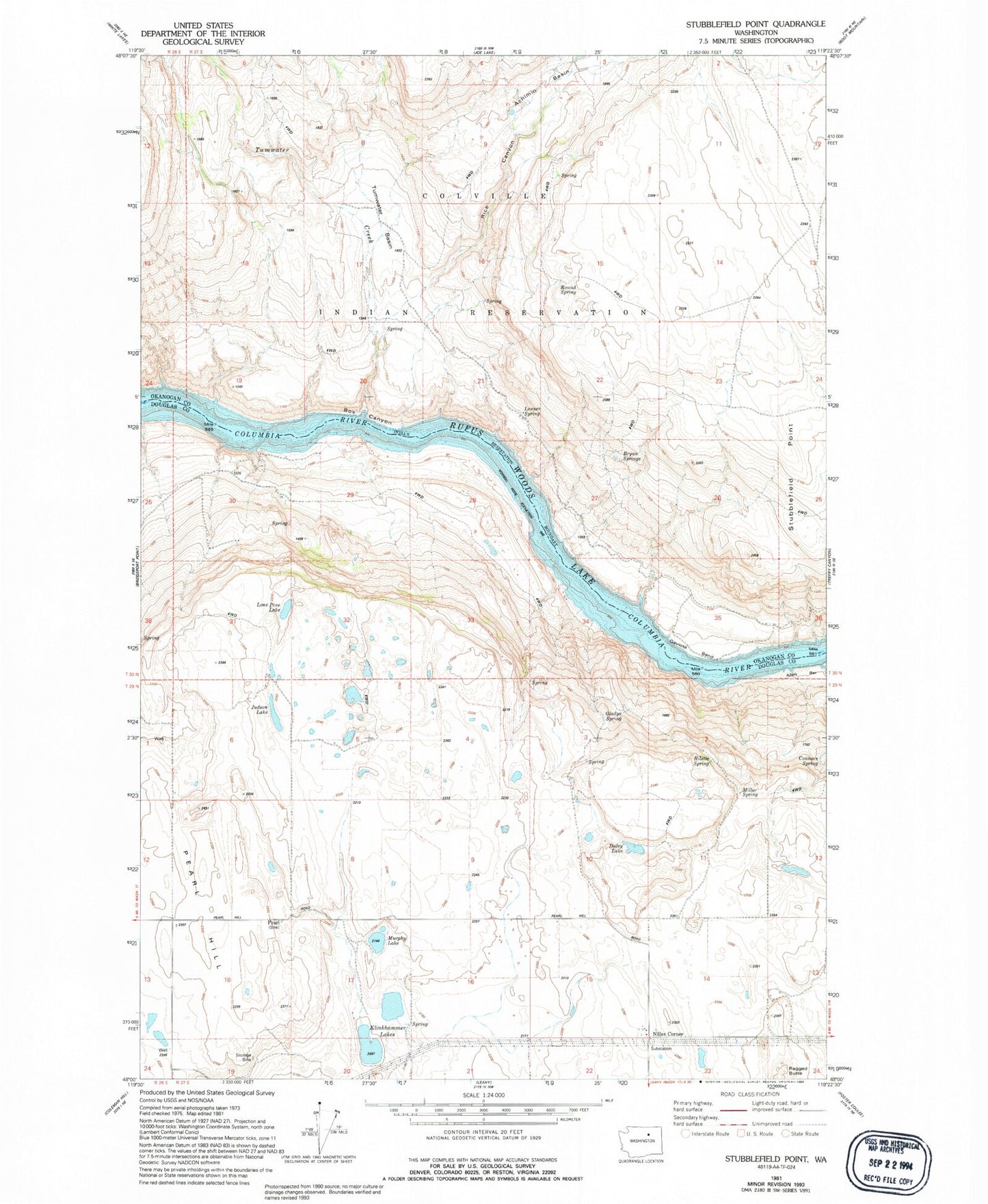
Classic USGS Stubblefield Point Washington 7.5'x7.5' Topo Map
Couldn't load pickup availability
Historical USGS topographic quad map of Stubblefield Point in the state of Washington. Map scale may vary for some years, but is generally around 1:24,000. Print size is approximately 24" x 27"
This quadrangle is in the following counties: Douglas, Okanogan.
The map contains contour lines, roads, rivers, towns, and lakes. Printed on high-quality waterproof paper with UV fade-resistant inks, and shipped rolled.
Contains the following named places: Achimin Basin, Box Canyon, Bryan Springs, Connors Spring, Duley Lake, Eagle Rapids, Gaviota Bend, Gladys Spring, Judson Lake, Klinkhammer Lakes, Lenner Spring, Lone Pine Lake, Long Rapids, Miller Spring, Murphy Lake, Nilles Corner, Pearl, Ragged Butte School, Rice Canyon, Rilette Spring, Round Spring, Stubblefield Point, Tumwater Basin, Tumwater Creek, Vaughn Spring, White Cap Rapids