MyTopo
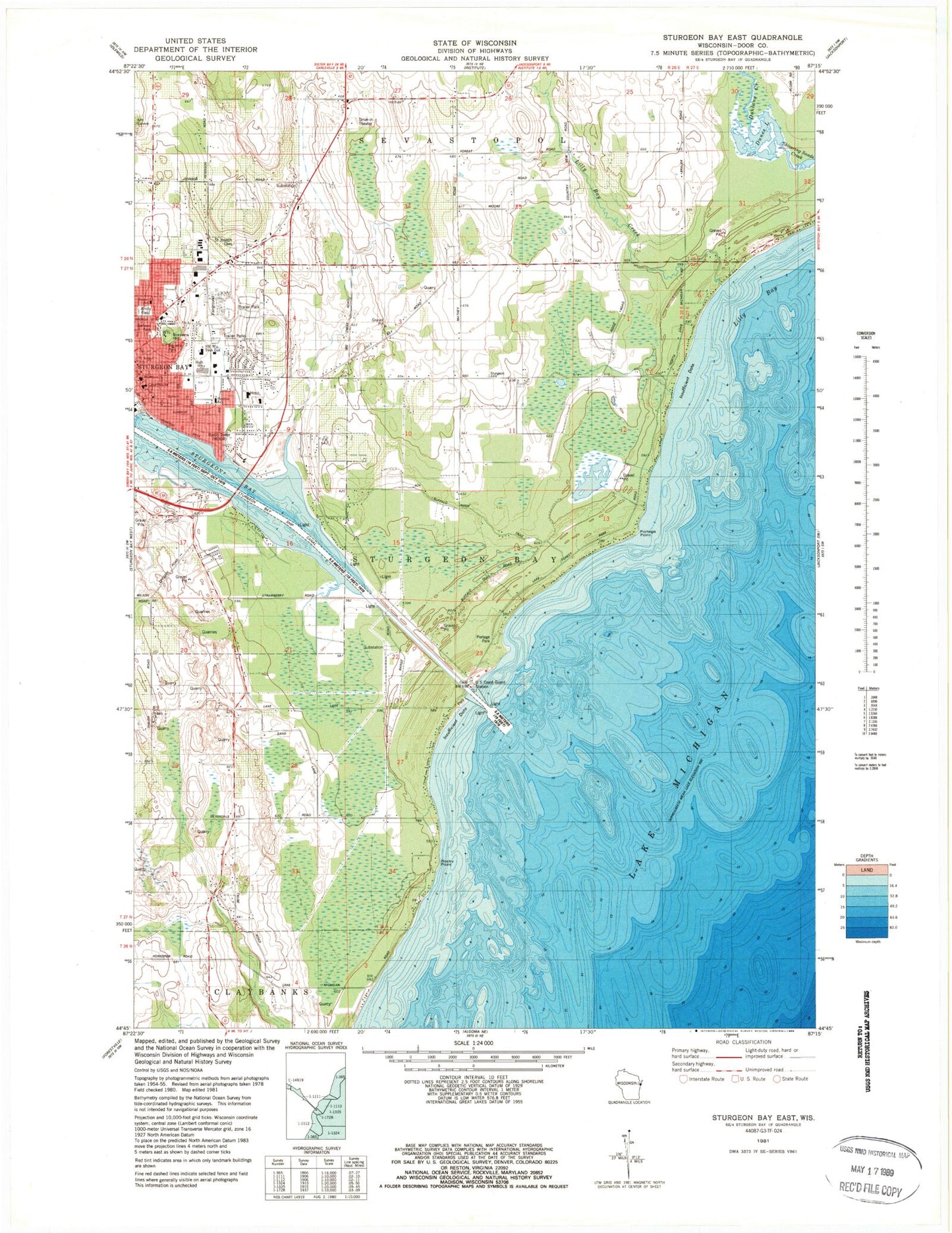
Classic USGS Sturgeon Bay East Wisconsin 7.5'x7.5' Topo Map
Couldn't load pickup availability
Historical USGS topographic quad map of Sturgeon Bay East in the state of Wisconsin. Map scale may vary for some years, but is generally around 1:24,000. Print size is approximately 24" x 27"
This quadrangle is in the following counties: Door.
The map contains contour lines, roads, rivers, towns, and lakes. Printed on high-quality waterproof paper with UV fade-resistant inks, and shipped rolled.
Contains the following named places: Amity Field, Big Hill Park, Cherry School, Christ the King Episcopal Church, City of Sturgeon Bay, Coast Guard Station Sturgeon Bay, Door County Courthouse, Door County Emergency Service, Door County Fairgrounds, Door County Memorial Hospital, Door County Memorial Hospital Heliport, Door County Museum, Dunes Lake, First Church of Christ Scientist, Garland Park, Geisel Creek, Gilbert Farms, Gospel Tabernacle Assembly of God Church, Hope United Church of Christ, Lilly Bay, Lilly Bay Creek, Louisiana Street - Seventh Avenue Historic District, Memorial Field, Peninsula Christian School, Peot Farms, Pierh Light, Pinney Lake, Portage Park, Portage Point, Prince of Peace Lutheran Church, Quarterdeck Marina, Robertson Orchards, Rocky Point, Saint Joseph Cemetery, Saint Joseph School, Saint Josephs Convent, Saint Josephs Roman Catholic Church, Seventh Day Adventist Church, Shiloh Church, Silverdale School, Snug Harbor Yacht Basin, Steep Creek Farm, Stevens Hill, Sturgeon Bay Canal Light, Sturgeon Bay City Jail, Sturgeon Bay Fire Department - East Station, Sturgeon Bay High School, Sturgeon Bay Moravian Church, Sturgeon Bay Police Department, Sturgeon Bay Ship Canal, Sunrise Elementary School, Sunset Elementary School, United Methodist Church of Sturgeon Bay, Walker Middle School, WDOR-AM (Sturgeon Bay), Wood Orchard, ZIP Code: 54235


