MyTopo
Classic USGS Sturtevant Wisconsin 7.5'x7.5' Topo Map
Couldn't load pickup availability
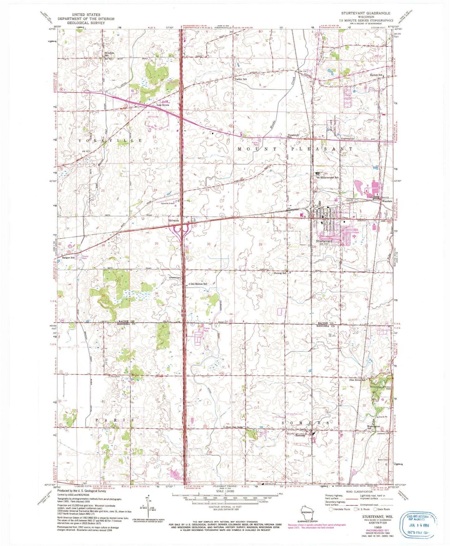
Historical USGS topographic quad map of Sturtevant in the state of Wisconsin. Map scale may vary for some years, but is generally around 1:24,000. Print size is approximately 24" x 27"
This quadrangle is in the following counties: Kenosha, Racine.
The map contains contour lines, roads, rivers, towns, and lakes. Printed on high-quality waterproof paper with UV fade-resistant inks, and shipped rolled.
Contains the following named places: Badger School, Barlett School, Burr Oak School, Concordia Lutheran School, Des Moines School, East Branch Root River Canal, Evans County Park, Evans Park, Fritchen School, Harvest View Estates, Herzog School, Ives Grove, Ives Grove Golf Links, Jensen's Mobile Home Village, Kirchner Dairy Farm, Maplecrest Country Club, Mount Pleasant Police Department, Oakdale Estates, Paris Lutheran Cemetery, Pike River School, Racine Correctional Institution, Racine Correctional Institution School, Racine County Sheriff's Office Patrol Station, Saint Sebastian School, Samuel Curtis Johnson Fire Brigade, Schulte Elementary School, Shoreland Lutheran High School, Skewes Park, Somers, Somers Elementary School, Somers Fire and Rescue Department Station 1, Somers Post Office, Somers Town Hall, South Shore Fire Department Station 9, Sturtevant, Sturtevant Police Department, Sturtevant Post Office, Sturtevant Transitional Facility, Sylvania, Sylvania Airport, Sylvania Cemetery, Town of Mount Pleasant, Treadwell School, Tucker School, Village of Mount Pleasant, Village of Somers, Village of Sturtevant, Washington School, Waxdale, West Lawn Memorial Cemetery, ZIP Code: 53177


