MyTopo
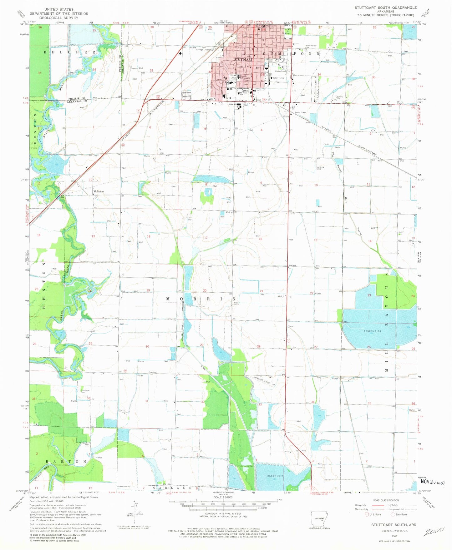
Classic USGS Stuttgart South Arkansas 7.5'x7.5' Topo Map
Couldn't load pickup availability
Historical USGS topographic quad map of Stuttgart South in the state of Arkansas. Map scale may vary for some years, but is generally around 1:24,000. Print size is approximately 24" x 27"
This quadrangle is in the following counties: Arkansas, Prairie.
The map contains contour lines, roads, rivers, towns, and lakes. Printed on high-quality waterproof paper with UV fade-resistant inks, and shipped rolled.
Contains the following named places: Abeles, Arkansas County Courthouse, Arkansas County Sheriff's Office, Buerkle School, Cain Park, Calvary Missionary Baptist Church, Church of Christ, City of Stuttgart, Clary Elementary School, Clearpoint Creek, First Baptist Church, First Christian Church, First Presbyterian Church, First United Methodist Church, Gingerich Elementary School, Goldman, Goldman School, Grand Avenue United Methodist Church, Harmony Missionary Baptist Church, Holy Rosary Catholic Church, Holy Rosary Cemetery, Holy Rosary School, Jesus Name Church of Christ, Julia Shannon Elementary School, KWAK-AM (Stuttgart), Lone Tree Cemetery, Lutheran School, Meekins Middle School, Mini Mall Shopping Center, Park Avenue Elementary School, Park Avenue Missionary Baptist Church, Ricusky, Saint Albans Episcopal Church, Saint Johns Lutheran Church, Saint Johns School, Shannon School, South Stuttgart, Southside Baptist Church, Stuckey School, Stuttgart Country Club, Stuttgart Fire Department Central Station, Stuttgart High School, Stuttgart Holiness Assembly of God Church, Stuttgart Junior High School, Stuttgart King Bayou, Stuttgart Middle School, Stuttgart Police Department, Stuttgart Public Library, Sunshine Cemetery, Sunshine Church, Sunshine School, Tindall Reservoir, Township of Morris, ZIP Code: 72160


