MyTopo
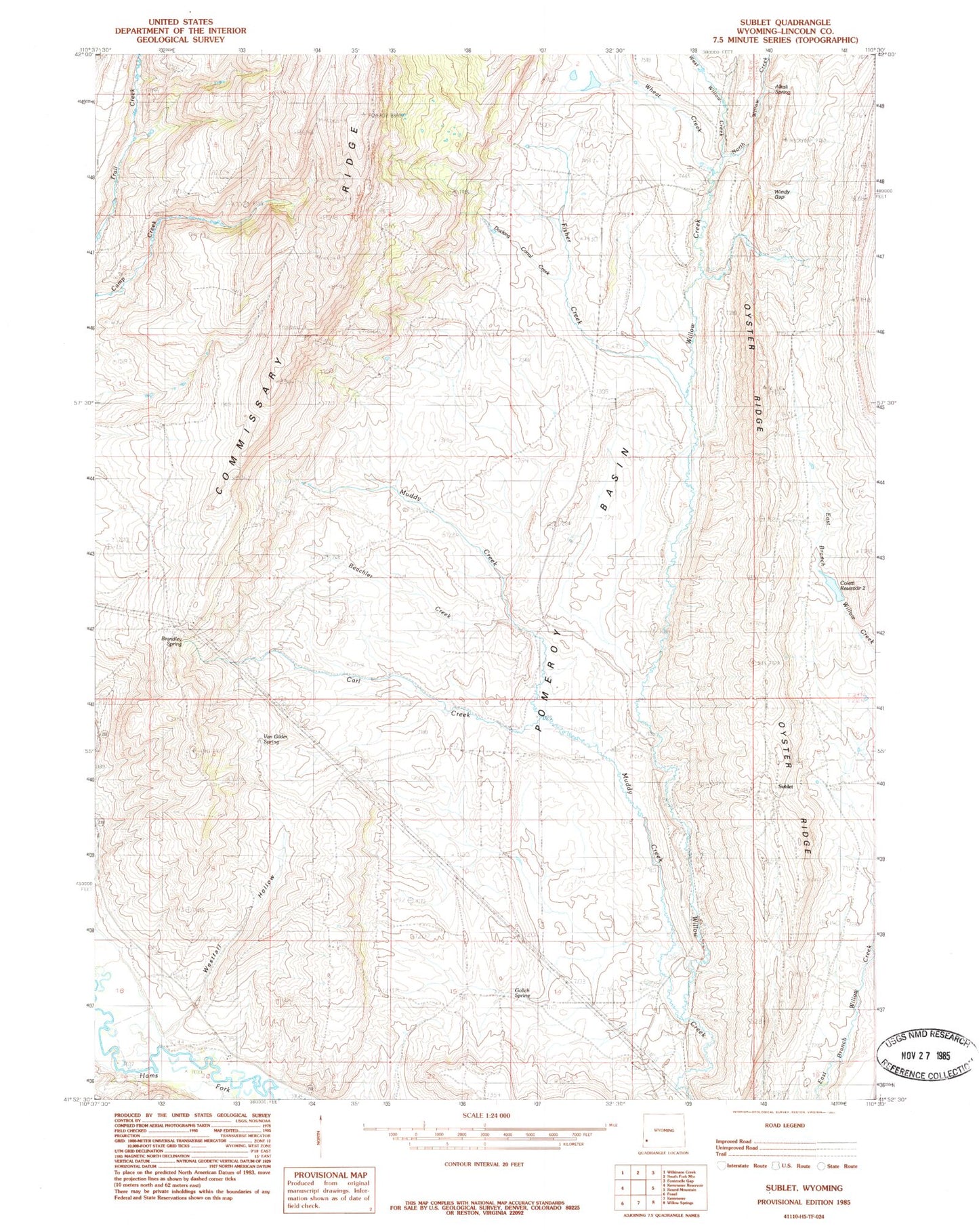
Classic USGS Sublet Wyoming 7.5'x7.5' Topo Map
Couldn't load pickup availability
Historical USGS topographic quad map of Sublet in the state of Wyoming. Map scale may vary for some years, but is generally around 1:24,000. Print size is approximately 24" x 27"
This quadrangle is in the following counties: Lincoln.
The map contains contour lines, roads, rivers, towns, and lakes. Printed on high-quality waterproof paper with UV fade-resistant inks, and shipped rolled.
Contains the following named places: Alkali Spring, Beachler Creek, Carl Creek, Colletti Number 2 Dam, Colletti Number 2 Reservoir, Fisher Creek, Kemmerer Number 5 Mine, Muddy Creek, North Willow Creek, Pomeroy Basin, Top of the World Mine, Van Gilder Spring, West Willow Creek, Wheat Creek, Willey Number 1 Dam, Willey Number 1 Reservoir, Windy Gap, ZIP Code: 83101