MyTopo
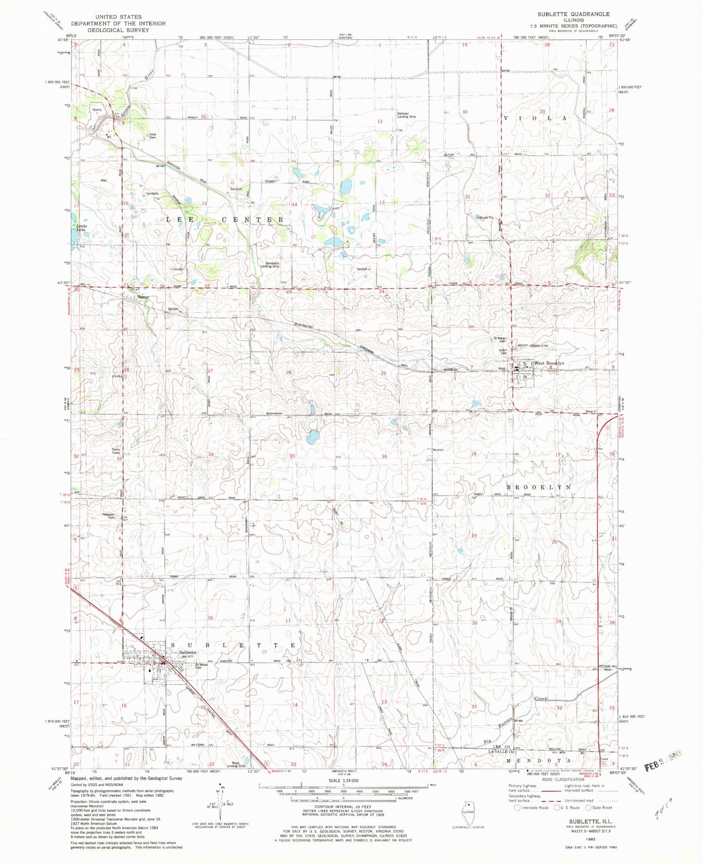
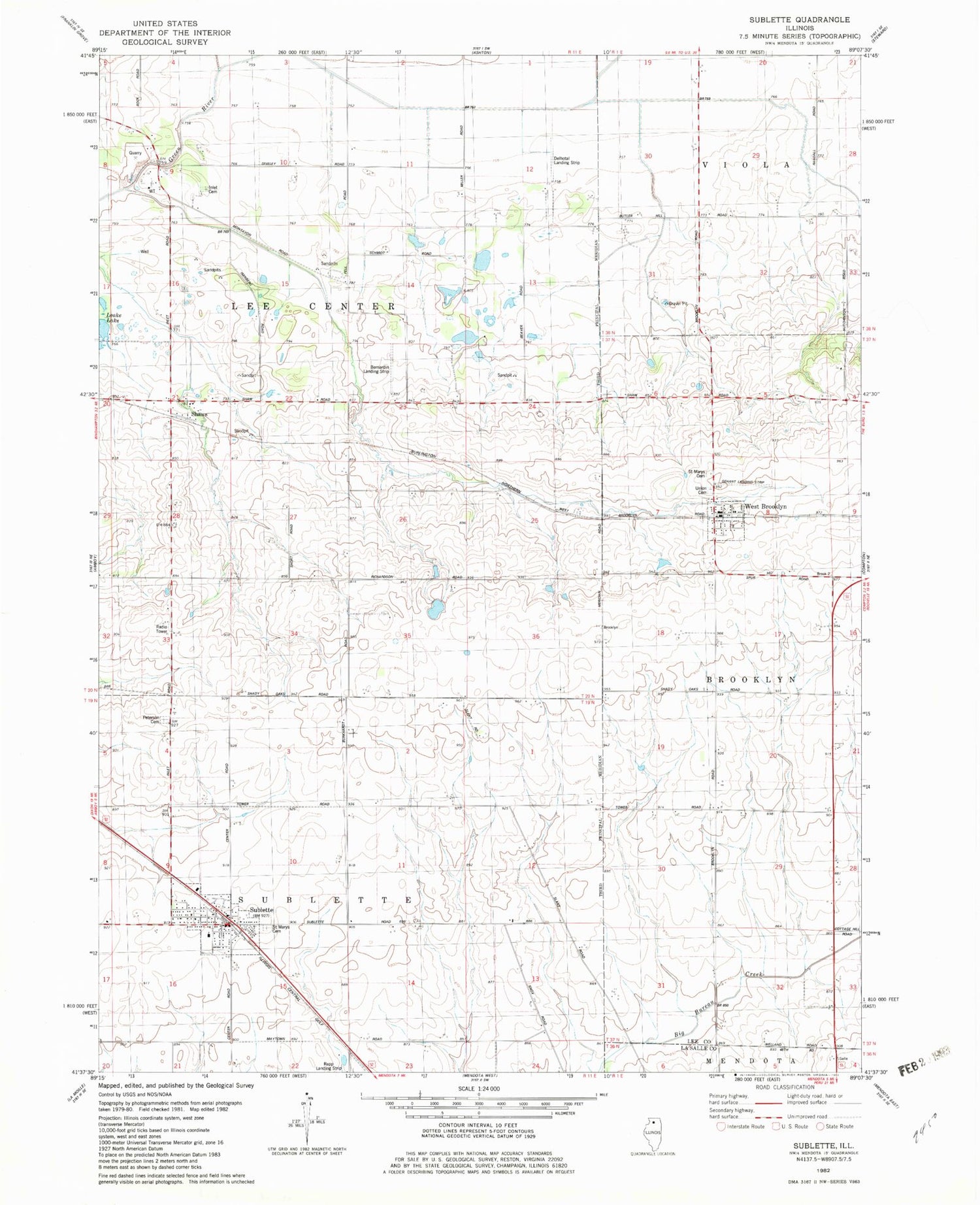
Classic USGS Sublette Illinois 7.5'x7.5' Topo Map
Couldn't load pickup availability
Historical USGS topographic quad map of Sublette in the state of Illinois. Map scale may vary for some years, but is generally around 1:24,000. Print size is approximately 24" x 27"
This quadrangle is in the following counties: LaSalle, Lee.
The map contains contour lines, roads, rivers, towns, and lakes. Printed on high-quality waterproof paper with UV fade-resistant inks, and shipped rolled.
Contains the following named places: Bernardin Heliport, Bernardin Landing Strip, Bonnell Farms, Borell Farms, Butler Hill RLA Airport, Connell Farm, Delhotal Airport, Evergreen Cemetery, Gehant Airport, Inlet, Inlet Cemetery, Inlet Quarry, Our Lady of Perpetual Help Church, Saint Marys Cemetery, Saint Mary's Cemetery, Saint Mary's Church, Shaw Post Office, Shaws, Sublette, Sublette Fire Department, Sublette Post Office, Sublette Union Church, Township of Lee Center, Township of Sublette, Union Cemetery, Village of Sublette, Village of West Brooklyn, West Brooklyn, West Brooklyn Fire Department, West Brooklyn Post Office, ZIP Code: 61378