
MyTopo
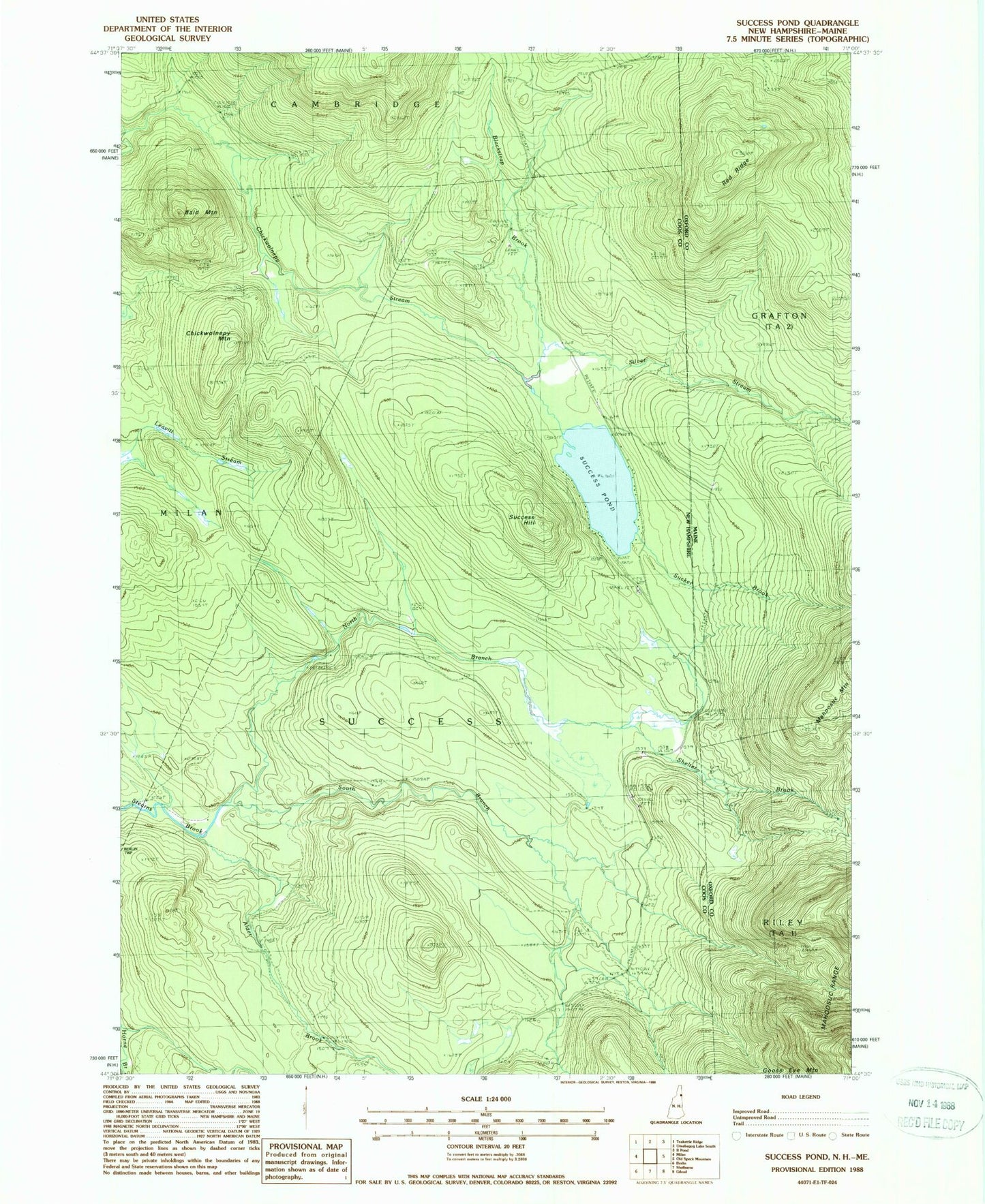
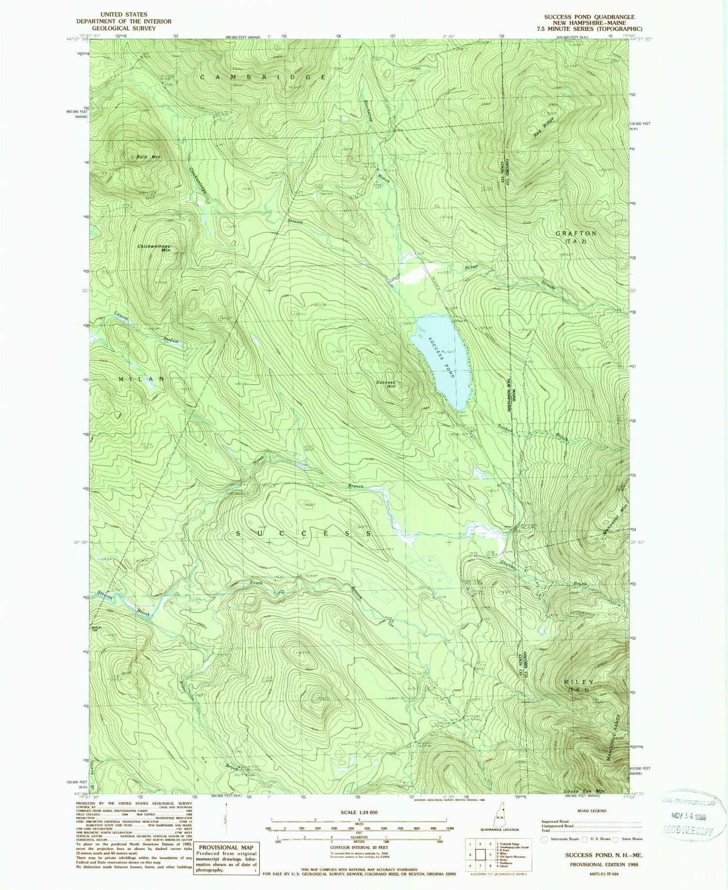
Classic USGS Success Pond New Hampshire 7.5'x7.5' Topo Map
Couldn't load pickup availability
Historical USGS topographic quad map of Success Pond in the states of New Hampshire, Maine. Typical map scale is 1:24,000, but may vary for certain years, if available. Print size: 24" x 27"
This quadrangle is in the following counties: Coos, Oxford.
The map contains contour lines, roads, rivers, towns, and lakes. Printed on high-quality waterproof paper with UV fade-resistant inks, and shipped rolled.
Contains the following named places: North Branch Stearns Brook, Bald Mountain, Blackstrap Brook, Chickwolnepy Mountain, Goose Eye Trail, Speck Pond Trail, Success Hill, Success Pond, Alder Brook, South Branch Stearns Brook, Township of Success, Goose Eye Trail, Red Ridge, Shelter Brook, Silver Stream, Speck Pond Trail, Sucker Brook