MyTopo
Classic USGS Sucia Island Washington 7.5'x7.5' Topo Map
Couldn't load pickup availability
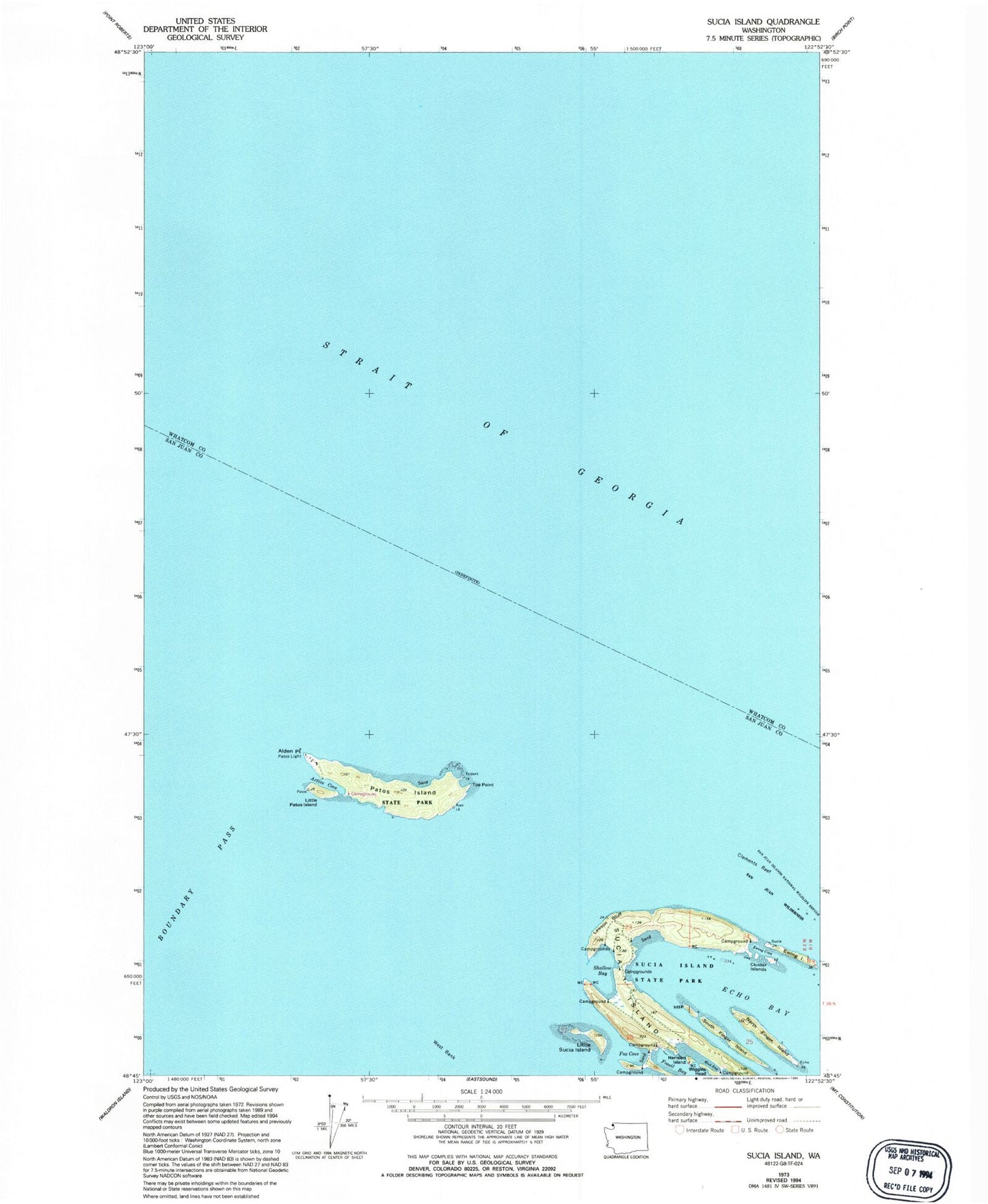
Historical USGS topographic quad map of Sucia Island in the state of Washington. Map scale may vary for some years, but is generally around 1:24,000. Print size is approximately 24" x 27"
This quadrangle is in the following counties: San Juan, Whatcom.
The map contains contour lines, roads, rivers, towns, and lakes. Printed on high-quality waterproof paper with UV fade-resistant inks, and shipped rolled.
Contains the following named places: Active Cove, Alden Point, Clements Reef, Cluster Islands, Echo Bay, Ewing Cove, Ewing Island, Fossil Bay, Fox Cove, Harnden Island, Justice Island, Lawson Bluff, Little Patos Island, Little Sucia Island, Mud Bay, North Finger Island, Patos Island, Patos Light, Shallow Bay, South Finger Island, Sucia Island, Sucia Island State Park, Sucia Islands, Toe Point, West Bank