MyTopo
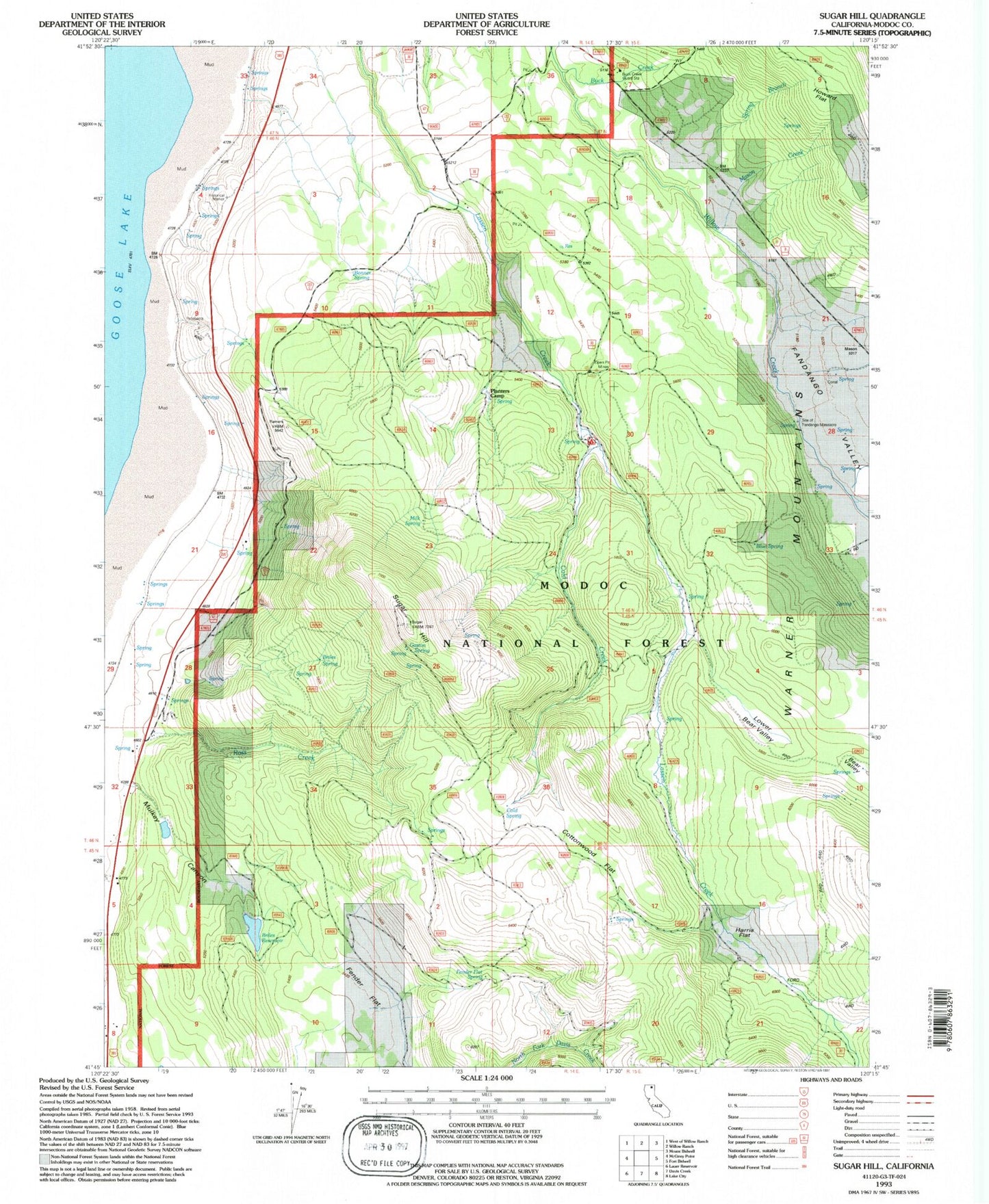
Classic USGS Sugar Hill California 7.5'x7.5' Topo Map
Couldn't load pickup availability
Historical USGS topographic quad map of Sugar Hill in the state of California. Map scale may vary for some years, but is generally around 1:24,000. Print size is approximately 24" x 27"
This quadrangle is in the following counties: Modoc.
The map contains contour lines, roads, rivers, towns, and lakes. Printed on high-quality waterproof paper with UV fade-resistant inks, and shipped rolled.
Contains the following named places: Blue Spring, Bonner Spring, Briles Reservoir, Briles Spring, Buck Creek, Buck Creek Guard Station, Cold Spring, Cottonwood Flat, Fandango Valley, Fender Flat, Fender Flat Spring, Gaston Spring, Harris Flat, Howard Flat, Lower Bear Valley, Mason Creek, Milk Spring, Mulkey Canyon, Planters Camp, Rainbow Mine, Ross Creek, Site of Fandango Massacre, Spring Branch, Sugar Hill, Thomas Briles 171 Dam