MyTopo
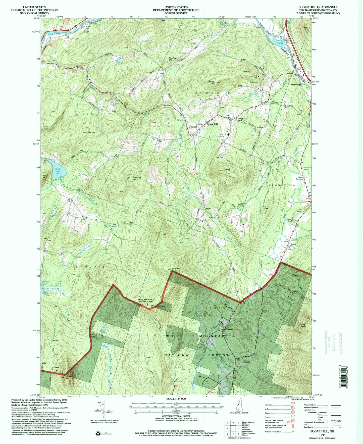
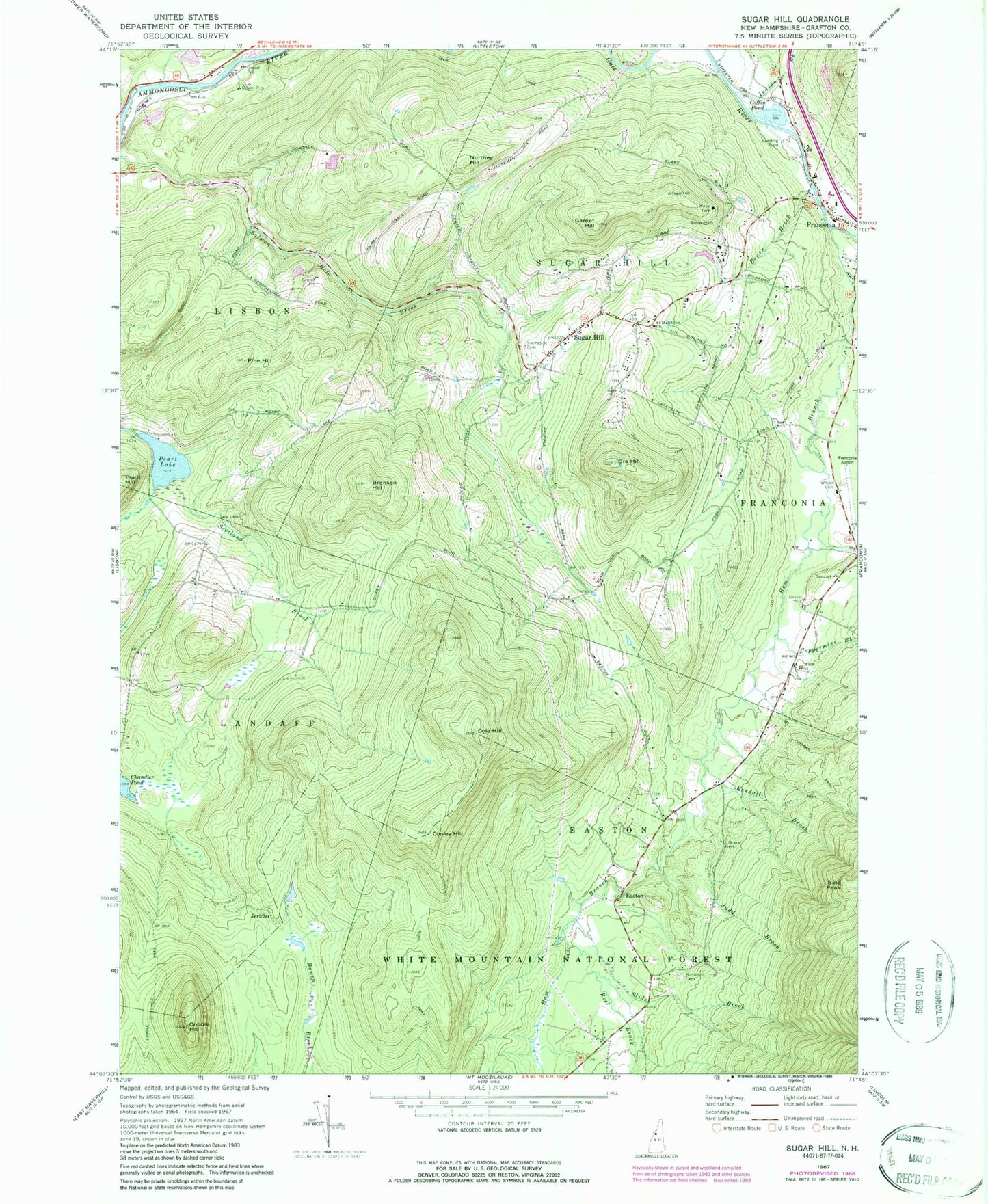
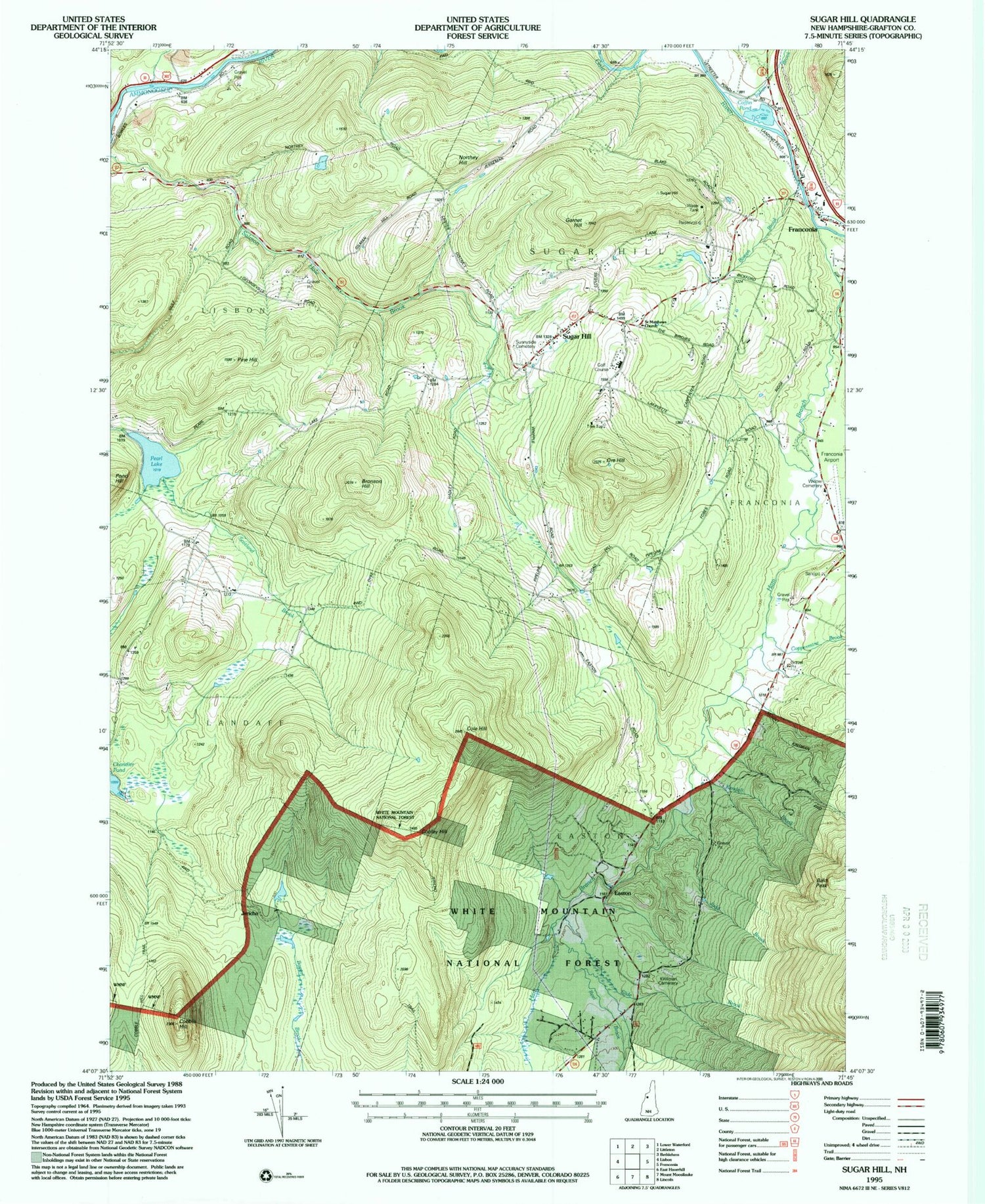
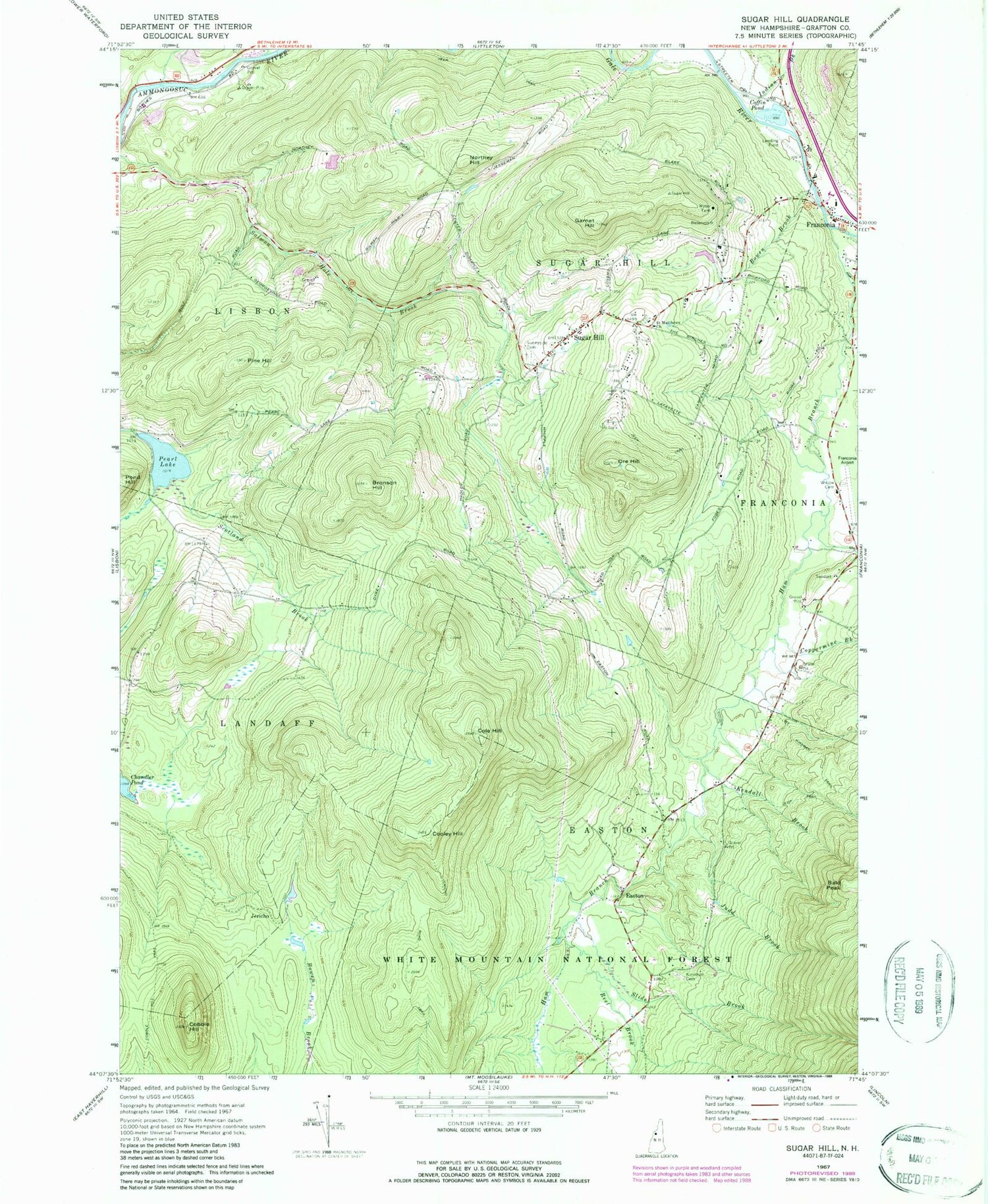
Classic USGS Sugar Hill New Hampshire 7.5'x7.5' Topo Map
Couldn't load pickup availability
Historical USGS topographic quad map of Sugar Hill in the state of New Hampshire. Typical map scale is 1:24,000, but may vary for certain years, if available. Print size: 24" x 27"
This quadrangle is in the following counties: Grafton.
The map contains contour lines, roads, rivers, towns, and lakes. Printed on high-quality waterproof paper with UV fade-resistant inks, and shipped rolled.
Contains the following named places: Bald Peak, Bowen Brook, Bronson Hill, Cobble Hill, Cobble Hill Trail, Coffin Pond, Cole Hill, Cooley Hill, Coppermine Brook, Easton, Garnet Hill, Ham Branch, Indian Brook, Jericho, Jericho Road Trail, Judd Brook, Kendall Brook, Kinsman Cemetery, Northey Hill, Ore Hill, Pearl Lake, Pine Hill, Pond Hill, Reel Brook, Saint Matthews Church, Scotland Brook, Slide Brook, Sugar Hill, Sunny Side Cemetery, Whipple Brook, Willow Cemetery, Franconia Airport, Town of Easton, Town of Lisbon, Town of Sugar Hill, Pearl Lake Dam, Coffin Pond Dam, Chandler Pond Dam, Community Church, Lafayette Regional School, Robert From Museum, School Number 2 (historical), School Number 3 (historical), Scotland School (historical), Sunset Hill House Ski Touring Center, Sugar Hill, Easton Volunteer Fire Department, Sugar Hill Fire Department, Sugar Hill Police Dept


