MyTopo
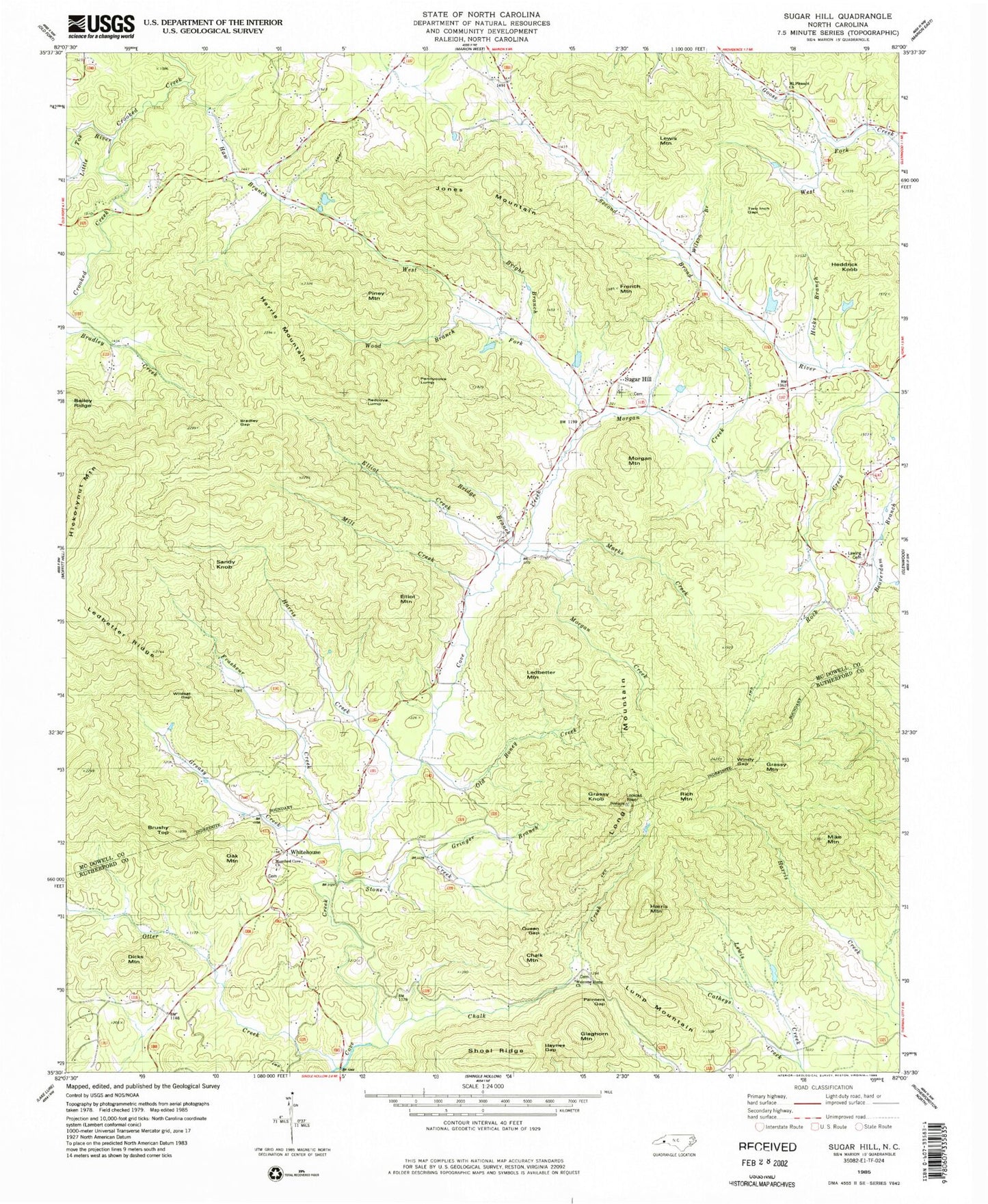
Classic USGS Sugar Hill North Carolina 7.5'x7.5' Topo Map
Couldn't load pickup availability
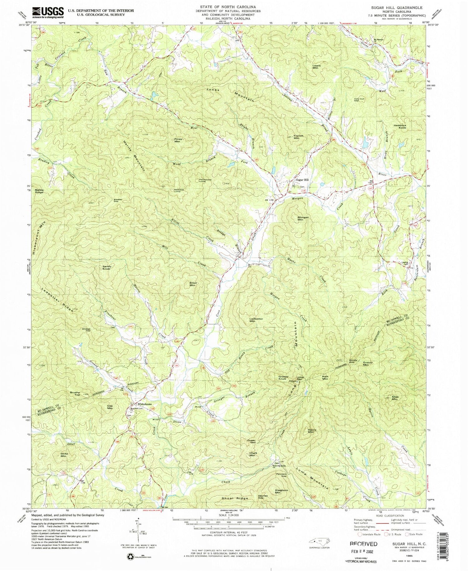
Historical USGS topographic quad map of Sugar Hill in the state of North Carolina. Typical map scale is 1:24,000, but may vary for certain years, if available. Print size: 24" x 27"
This quadrangle is in the following counties: McDowell, Rutherford.
The map contains contour lines, roads, rivers, towns, and lakes. Printed on high-quality waterproof paper with UV fade-resistant inks, and shipped rolled.
Contains the following named places: Bradley Gap, Bridge Branch, Bright Branch, Chalk Creek, Dicks Mountain, Elliot Creek, Elliot Mountain, Grassy Knob, Gringer Branch, Harris Creek, Harris Mountain, Haw Branch, Haynes Gap, Jones Mountain, Lawing Cemetery, Ledbetter Ridge, Lewis Creek, Marks Creek, Mike Mountain, Mill Creek, Morgan Creek, Mount Pleasant Church, Old Boney Creek, Painters Gap, Pennycove Lump, Queen Gap, Shoal Ridge, Stone Creek, Two Inch Gap, West Fork Goose Creek, Wildcat Gap, Wilson Branch, Windy Gap, Wood Branch, Otter Creek (historical), Brushy Top, Chalk Mountain, French Mountain, Grassy Mountain, Harris Mountain, Heddrick Knob, Ledbetter Mountain, Lewis Mountain, Lump Mountain, Montford Cove Church, Morgan Mountain, Oak Mountain, Piney Mountain, Redcove Lump, Rich Mountain, Sandy Knob, Sugar Hill, Whitehouse, Pinnacle, Frasheur Creek, Greasy Creek, Hickorynut Mountain, Little Toe River, Long Mountain, Morgan Creek, Otter Creek, Rock Creek, West Fork Cove Creek, Hicks Branch, Glaghorn Mountain, Township of Montford Cove, Welcome Home Church, Sugar Hill - Montford Cove Volunteer Fire Department, Montford Cove Church Cemetery, Welcome Home Church Cemetery


