MyTopo
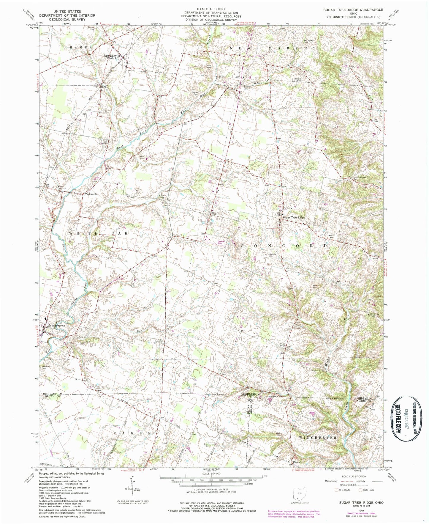
Classic USGS Sugar Tree Ridge Ohio 7.5'x7.5' Topo Map
Couldn't load pickup availability
Historical USGS topographic quad map of Sugar Tree Ridge in the state of Ohio. Map scale may vary for some years, but is generally around 1:24,000. Print size is approximately 24" x 27"
This quadrangle is in the following counties: Adams, Brown, Highland.
The map contains contour lines, roads, rivers, towns, and lakes. Printed on high-quality waterproof paper with UV fade-resistant inks, and shipped rolled.
Contains the following named places: Bethel Cemetery, Bethel Church, Brandenburg Fish Hatchery, Burba Cemetery, Burns Farm, Burris Cemetery, Carr Farms, Carrier Cemetery, Concord Elementary School, Dixie School, East Danville, Eastern Area Specialty Transport, Emerald, Emerald Post Office, Emry Cemetery, Fair Ridge Farm, Five Oaks School, Gibler Cemetery, Gossett Farms, Hart Cemetery, Heyob Farms, High College School, Knob Cemetery, Leininger Farm, Lewis Cemetery, Malcom Cemetery, Methodist Cemetery, Millers Chapel Cemetery, Millers Chapel School, Mowrystown, Mowrystown Cemetery, Mowrystown Post Office, Nichols Cemetery, Oakland Cemetery, Olive Chapel School, Petithory Cemetery, Plum Run, Redkey Cemetery, Roberts Cemetery Number 1, Roberts Cemetery Number 2, Rogers Cemetery, Roush Farm, Shofflers School, Sonner Cemetery, Sorg, Sorg Post Office, Sugar Run, Sugar Tree Ridge, Sugar Tree Ridge Church of Christ, Sugar Tree Ridge Post Office, Sugar Tree Ridge United Methodist Church, Surber Farms, Swine Valley School, Taylorsville, Taylorsville Post Office, Township of Concord, Township of Whiteoak, Union Chapel, Union Chapel Cemetery, Union School, Van Winkle Cemetery, Victory School, Wesley Chapel, Wesley Chapel Cemetery, West Farms, Whiteoak High School, Wilkin Cemetery, Winkle, Winkle Post Office


