MyTopo
Classic USGS Sugar Tree Tennessee 7.5'x7.5' Topo Map
Couldn't load pickup availability
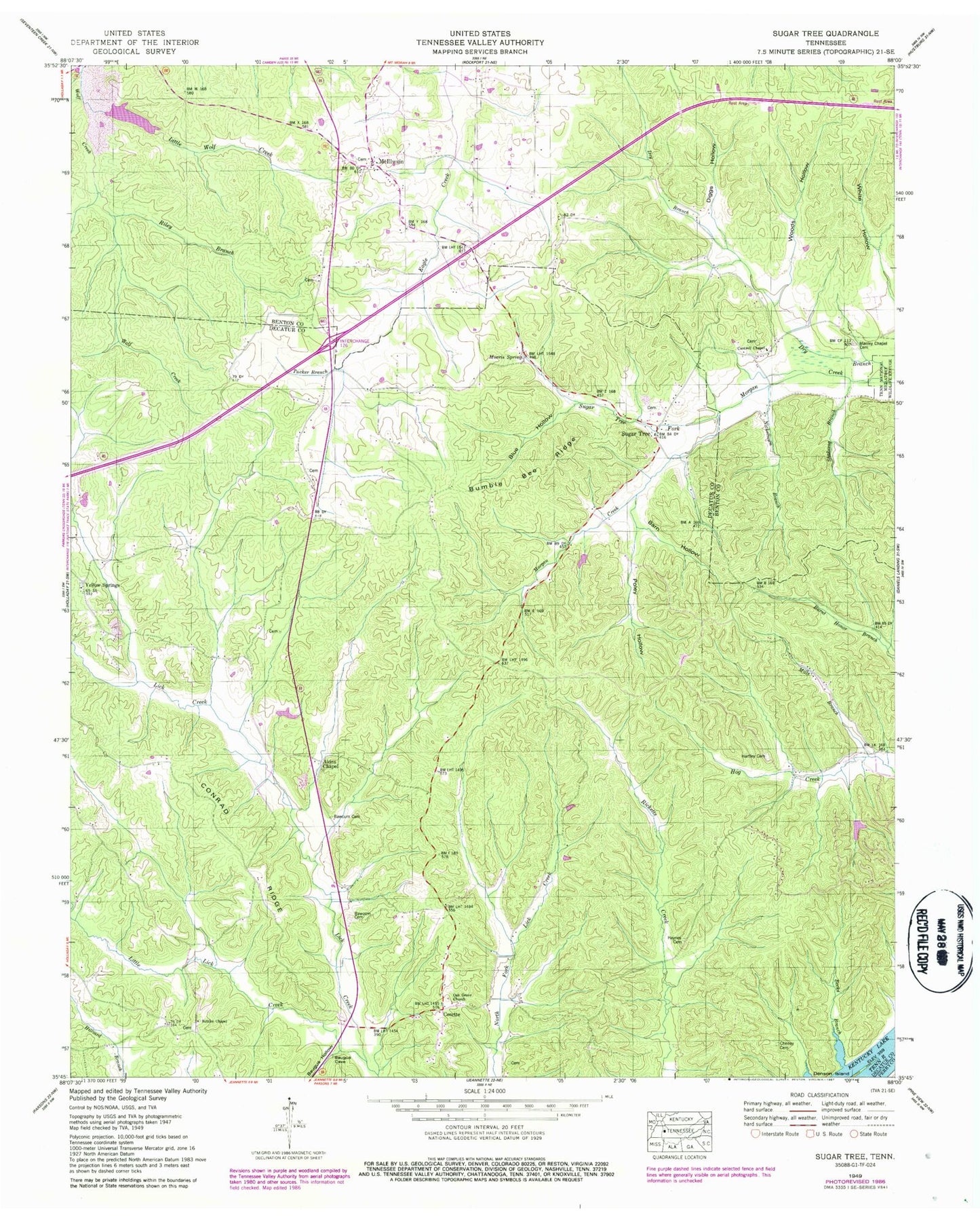
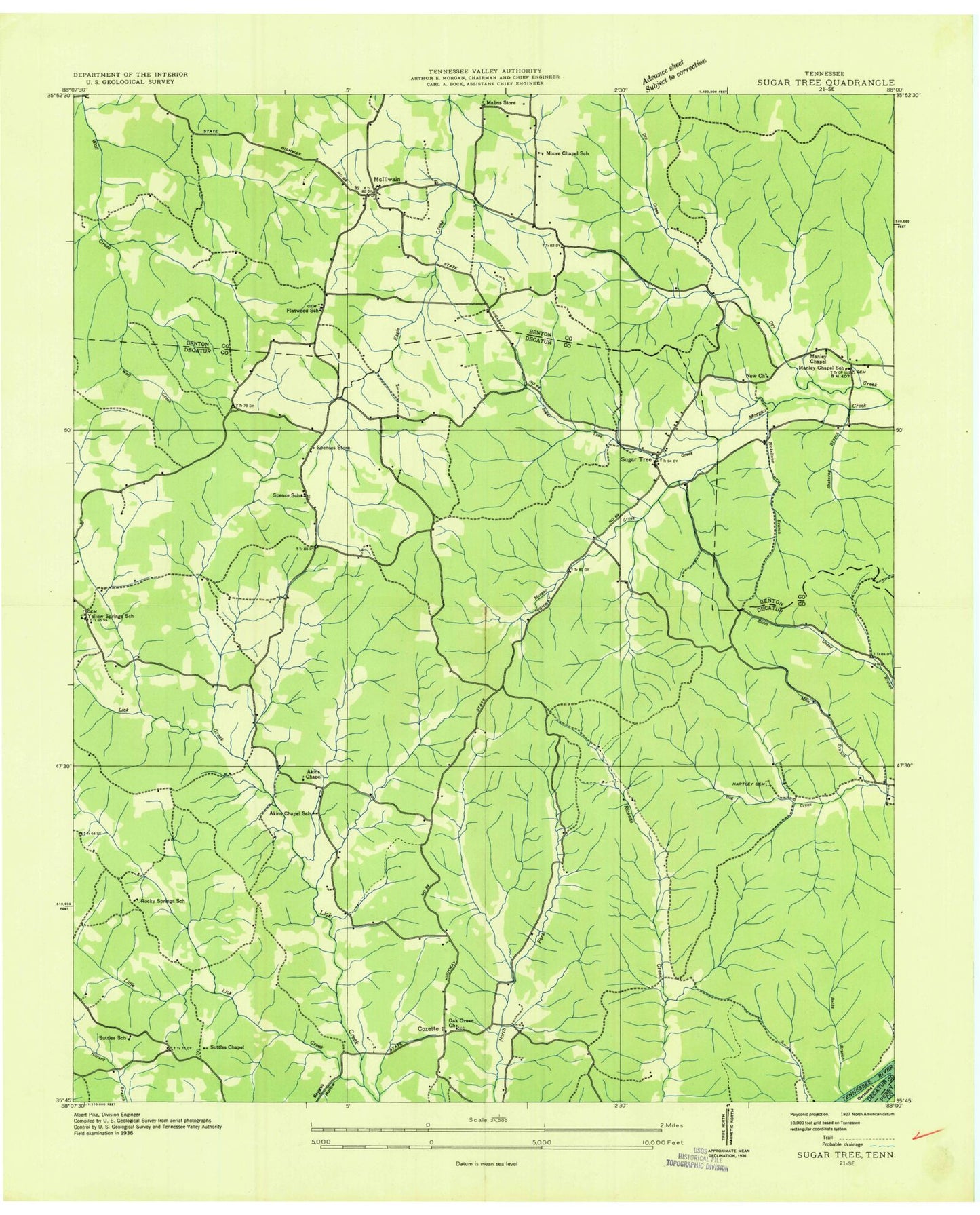
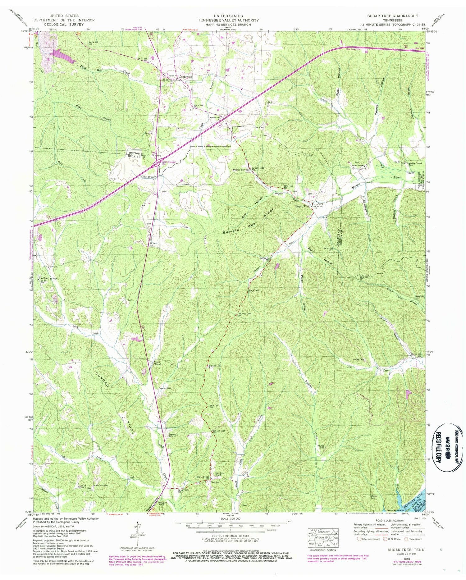
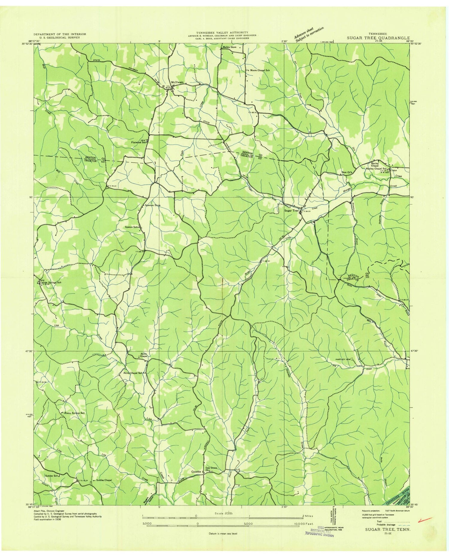
Historical USGS topographic quad map of Sugar Tree in the state of Tennessee. Map scale may vary for some years, but is generally around 1:24,000. Print size is approximately 24" x 27"
This quadrangle is in the following counties: Benton, Decatur, Perry.
The map contains contour lines, roads, rivers, towns, and lakes. Printed on high-quality waterproof paper with UV fade-resistant inks, and shipped rolled.
Contains the following named places: Akins Chapel, Atkins Chapel School, Baker Cemetery, Barn Hollow, Baugus Hollow, Bawcum Cemetery, Becks Branch, Bliss, Blue Hollow, Bumble Bee Ridge, Cantrell Chapel, Cheney Cemetery, Conrad Ridge, Cozette, Diggs Hollow, Dry Branch, Etna, Flatwood School, Flatwoods Baptist Church, Flawoods Cemetery, Hartley Cemetery, Haynes Cemetery, Holladay - McIllwain Volunteer Fire Department, Little Lick Creek, Little Wolf Creek, Malins Store, Manley Chapel, Manley Chapel Cemetery, Manley Chapel School, McIllwain, McIllwain Methodist Church, McIllwain School, Mills Branch, Moore Chapel School, Moores Chapel Methodist Church, Morris Spring, Nickeltown Branch, Northford Post Office, Oak Grove Cemetery, Oak Grove Church, Oakview, Old Morgans Creek Cemetery, Poley Hollow, Riley Branch, Rocky Springs School, Shakerag Branch, Spence Cumberland Presbyterian Church, Spence School, Spences Store, Sugar Tree, Sugar Tree Fork, Sugar Tree Post Office, Sugar Tree School, Suttles Chapel, Suttles School, Tucker Branch, Wesson Cemetery, Wesson Chapel Cumberland Presbyterian Church, Woods Hollow, Yellow Spring Church, Yellow Springs, Yellow Springs School, ZIP Code: 38380


