MyTopo
Classic USGS Sugar Valley Georgia 7.5'x7.5' Topo Map
Couldn't load pickup availability
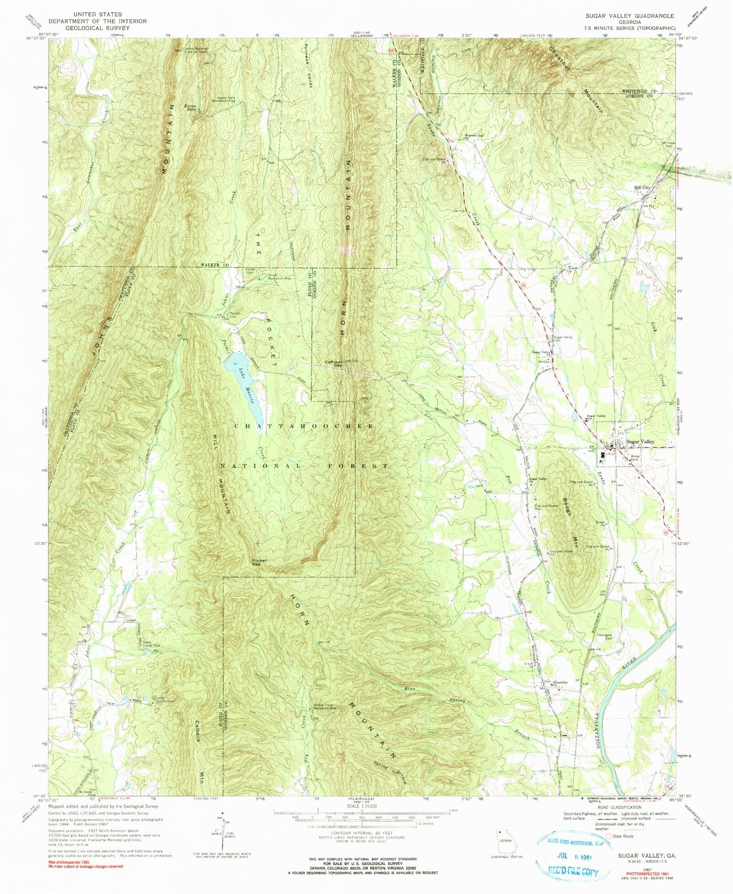
Historical USGS topographic quad map of Sugar Valley in the state of Georgia. Typical map scale is 1:24,000, but may vary for certain years, if available. Print size: 24" x 27"
This quadrangle is in the following counties: Chattooga, Floyd, Gordon, Walker, Whitfield.
The map contains contour lines, roads, rivers, towns, and lakes. Printed on high-quality waterproof paper with UV fade-resistant inks, and shipped rolled.
Contains the following named places: Baugh Mountain, Bow Creek, Calhoun Gap, Camp Sidney Dew, Fowler Cemetery, Herington Cemetery, Hidden Creek Recreation Area, Keown Falls, Keown Falls Recreation Area, Lake Marvin, Mill Mountain, Mount Hope Cemetery, Mount Tabor Church, Pocket Cemetery, Pocket Creek, Pocket Gap, Pocket Recreation Area, Snake Creek, Sugar Valley Cemetery, Sugar Valley Church, Sugar Valley School (historical), The Pocket, Welcome Gap Church, Lake Marvin Girl Scout Camp, Calbeck Mountain, Chestnut Mountain, Horn Mountain, Johns Mountain, Sugar Valley, Calvary Church, Harrington Ferry (historical), Hill City Baptist Church, Hunt Bend, Mount Horeb Primitive Baptist Church (historical), Sugar Valley Methodist Church, Lake Marvin Dam, Johns Mountain Lookout Tower, Johns Mountain Wildlife Management Area, Sugar Valley Post Office, Camp Marvin, John Creek Mill (historical), Blue Spring Branch, Camp Gazelle Dew, Friendship Church, Hill City, Sugar Valley Church, Lays Ferry (historical), Sugar Valley-Resaca Division, Gordon County Fire and Rescue Department Station 7, Mount Tabor Cemetery


