
MyTopo
Classic USGS Sugarloaf Butte Utah 7.5'x7.5' Topo Map
Regular price
$16.95
Regular price
Sale price
$16.95
Unit price
per
Couldn't load pickup availability
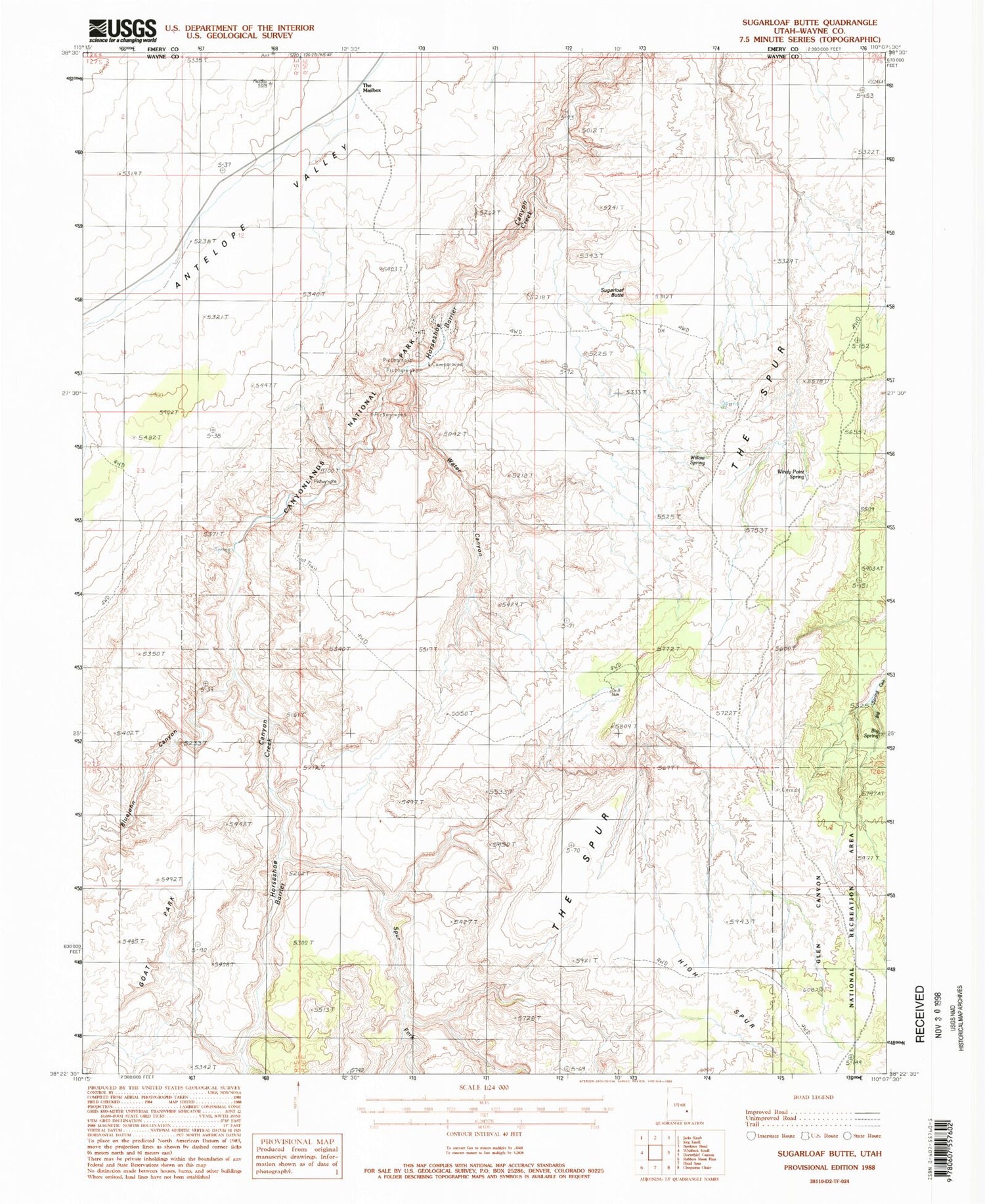
Historical USGS topographic quad map of Sugarloaf Butte in the state of Utah. Typical map scale is 1:24,000, but may vary for certain years, if available. Print size: 24" x 27"
This quadrangle is in the following counties: Emery, Wayne.
The map contains contour lines, roads, rivers, towns, and lakes. Printed on high-quality waterproof paper with UV fade-resistant inks, and shipped rolled.
Contains the following named places: Big Spring, Bluejohn Canyon, Red Nubs (historical), Spur Fork, Sugarloaf Butte, The Mailbox, Tidwell Ranch, Water Canyon, Willow Spring, Windy Point Spring, Horseshoe Canyon Unit- Canyonlands National Park, Great Gallery Pictographs


